GR367 – Path of the Cathars Trek – Pyrenees – France
Description
Itinerary
Conditions
Photos
Practical information
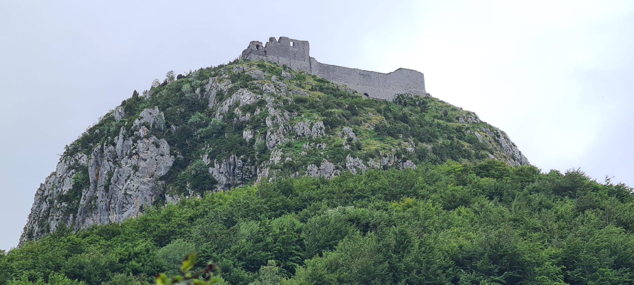
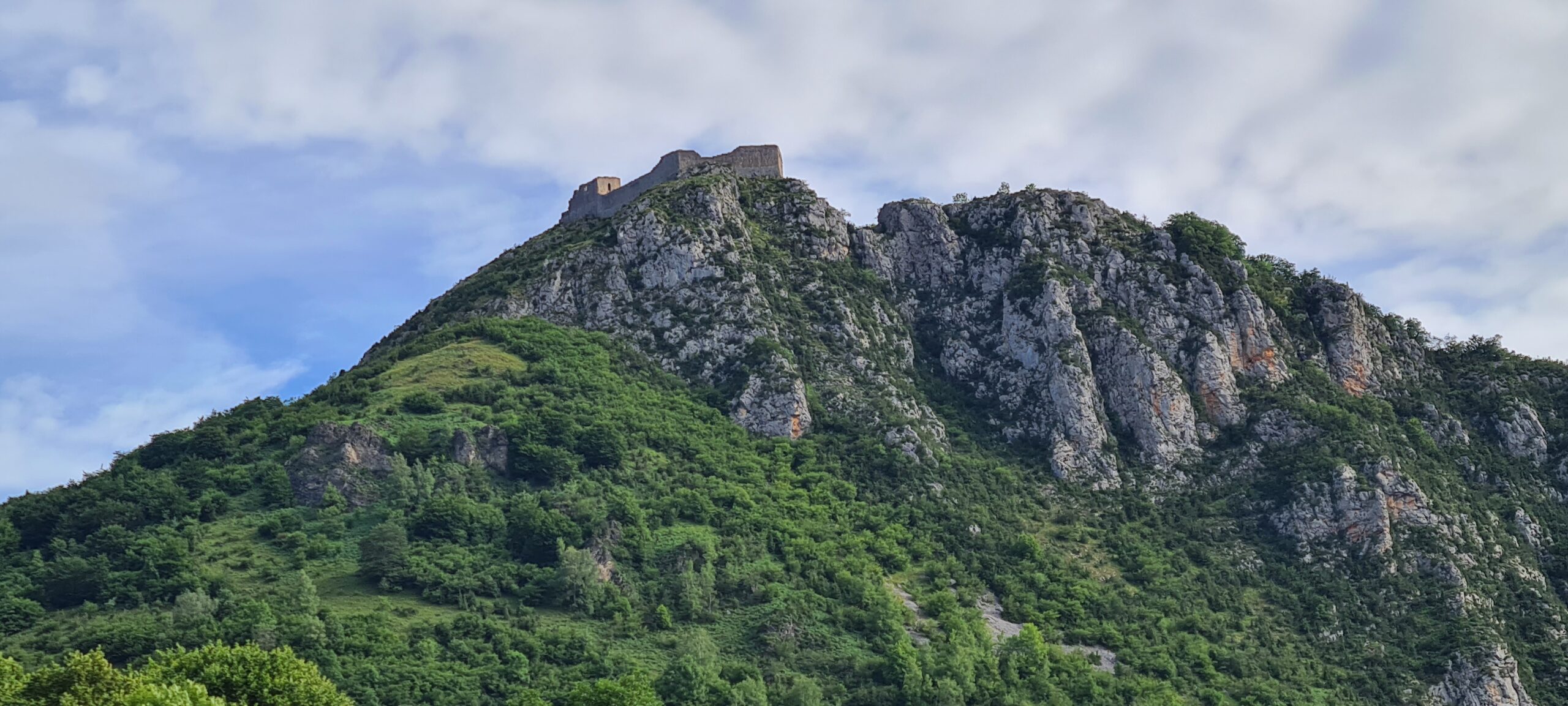
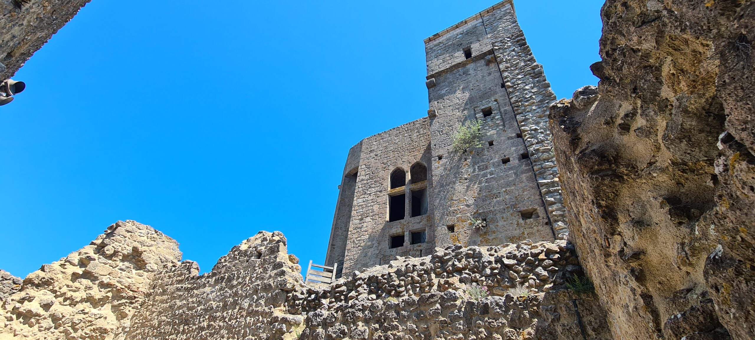
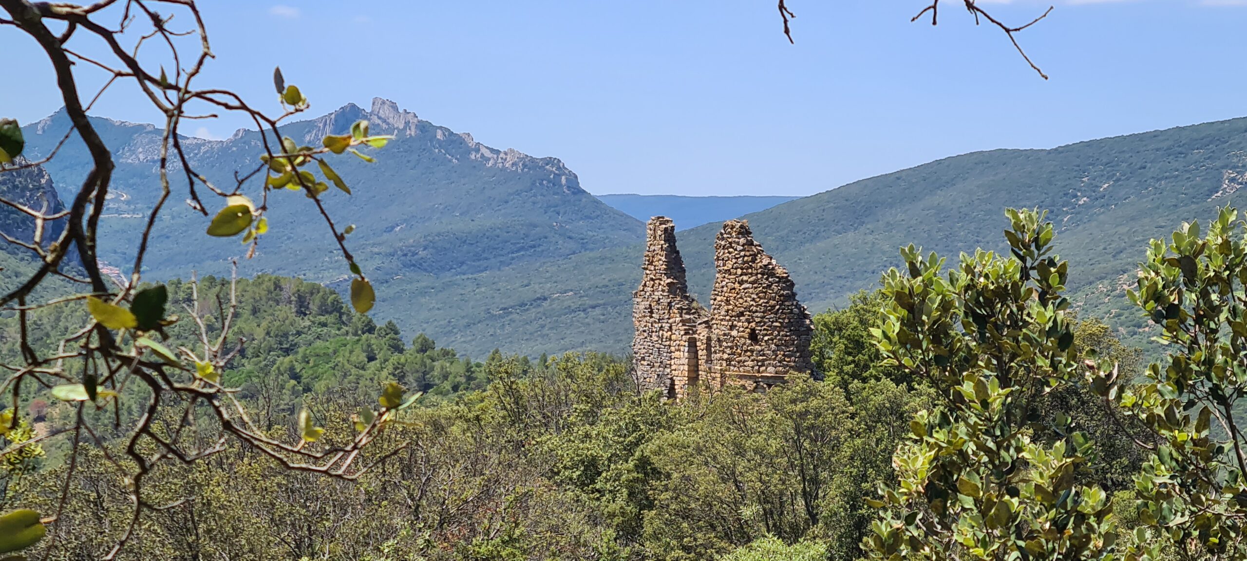
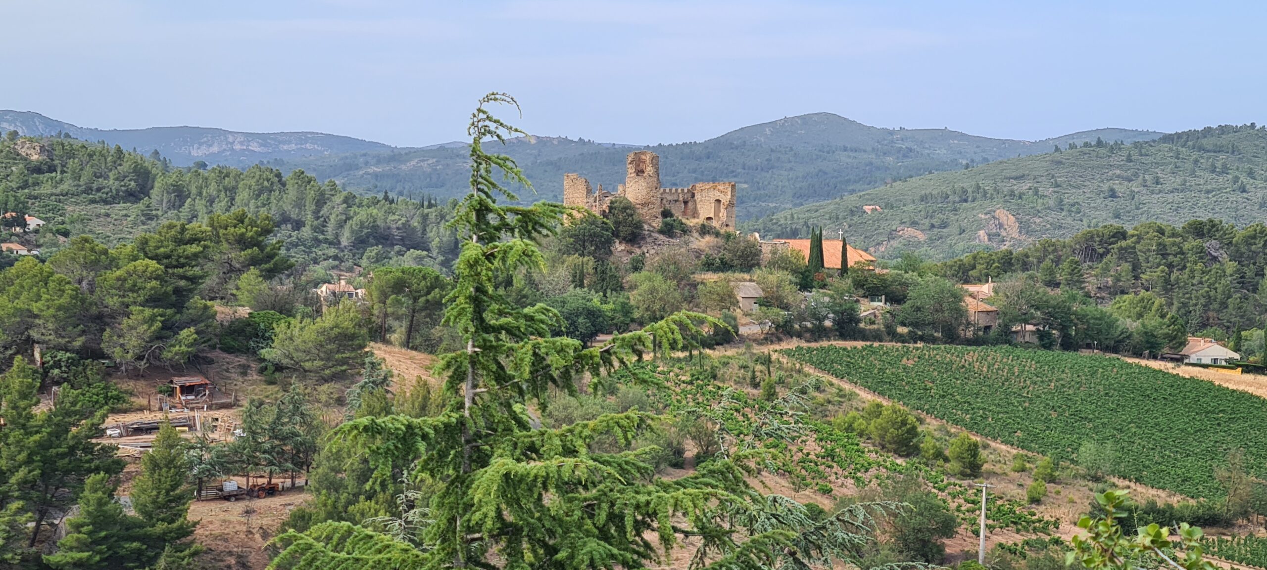
Each of the places you will visit during this trek tell a unique story and the ruins of these castles as well as the paths you will travel are as if inhabited by the memories of a regional epic. The sections of these walls, built in these inhospitable places around the ninth century, by local lordships and long before the Cathars existed, have cast their shadow over so many men and women, and given asylum to so many. of human lives that their subsistence today is almost a mystery in itself. Long abandoned to goats and wild vegetation, the castles of the Cathar Country, more than 1000 years old, tell their stories to those who feel their remains.
The Catharism movement appeared in Western medieval Christianity in the mid-12th century in a general context of opposition to the Roman church and its hierarchy on the principle that it would not respect the pious wishes of Christ such as absolute poverty and the work of his own hands to provide for his needs. Although this movement developed throughout Western Europe, it experienced particular growth in the South of France. Organized in local communities, the Cathars developed ecclesiastical centers such as around Albi, Toulouse and Carcassone.
These Cathar communities require those who receive the sacrament to respect the Rule: practice of asceticism, and abstinence from all meat foods as well as the practice of evangelical morality (prohibition of swearing, lying, killing). The Cathars contest the usual water baptism, because they consider that newborns are incapable of understanding the commitment of baptism but also the sacrament of the Eucharist, refusing to believe that bread and wine would become body and blood. of Christ. Finally, they also contest the sacrament of marriage, which legitimizes, according to them, the carnal union of man and woman, such as the origin of the sin of Adam and Eve. The Cathars rely on the rites and sacraments of the New Testament and therefore reject the new rites put in place throughout the High Middle Ages by the Roman Church. For them, places of worship are not only churches, but any place where the faithful gather ready to listen to the word of Christ and his teaching.
Called “Good Men or Perfect” by the Roman church, it will ultimately condemn the Cathars as heretics in association with Philip II known as Augustus, who sees this as an opportunity to definitively annex Languedoc Roussillon to the Kingdom of France. Indeed, their obstinacy, their uncompromising anticlericalism, as well as their opposition to the Catholic hierarchy irritates the Roman Church. Like many other dissident or protest movements such as the Templars, the Cathars became the target of persecution by the Roman Church which attempted to consolidate its project of Western Christianity by excluding any individual or group which could closely or far jeopardize this project.
Despite attempts to convert to a more Catholic return according to the Roman Church with the help of the Franciscans and Dominicans, the Cathars are irreproachable with their order, and almost always prefer martyrdom to abjuration. For this reason, Pope Innocent III launched the first crusade on the territory of Western Christianity in 1209 against the Cathars. A crusade which lasted twenty years and which led to the event of the inquisition in 1233 to track down “heretical depravity” . It was then that the Cathar community close to the people and not to the citadels which became rich at the beginning of the 13th century, and therefore in contradiction with their value, took shelter with the local lords and invested these fortresses to protect themselves from the Albigensian crusade of Pope Innocent III. Although declaring itself non-revolutionary and therefore not wishing to change the Roman Church, it then begins despite themselves, the myths and legends of this community fighting fiercely to defend its convictions as the revolutionary spirit so dear to the French would dictate, leading to with them the decline of these fortresses of heaven.
Nearly 800 years have passed, will you be ready to follow their part on these paths taken by the Cathars and to take refuge from castle to castle if the need arises? …only your participation in our next trek will be able to tell you… This trek is not very technical but requires great endurance, the average distance to be covered per day is 23km. You can visit around fifteen Cathar castles.
Levels of difficulty


Difficulty levels are graded from 1 (easy) to 5 (hard), and a full description can be found here.
| # | Path of the Cathars Trek |
| Level of difficulty | 3/5 |
| Distance traveled | 139,17 miles |
| Cumulative elevation gain | +8565 m |
| Cumulative negative elevation | -8990 m |
| Nature | 5/5 |
| Culture | 5/5 |
| Meeting | 3/5 |
| Minimum Age Recommended | 15 years |
| Comfort |
Tent/Bungalow + Gîte + Hotel + Guest room |
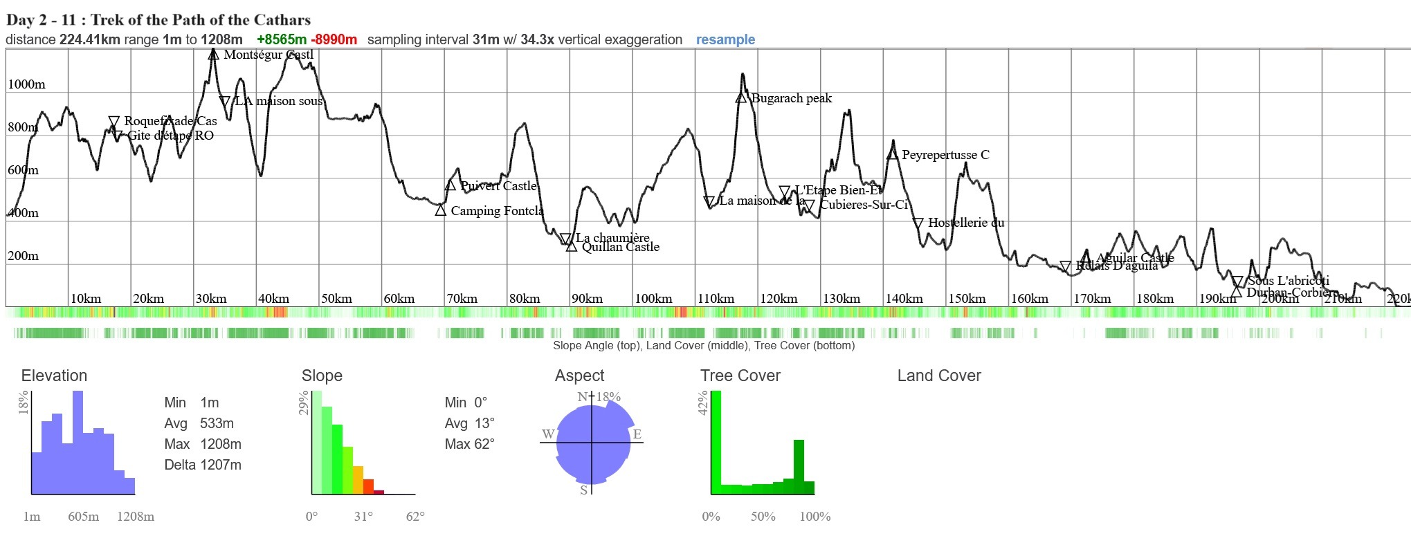
Path of the Cathar trek day 2 to 11
Day 1 : Meeting, transfer and first discoveries
Our team will pick you up at Carcassonne airport, depending on your arrival in Occitanie, and drop you off at the hotel.
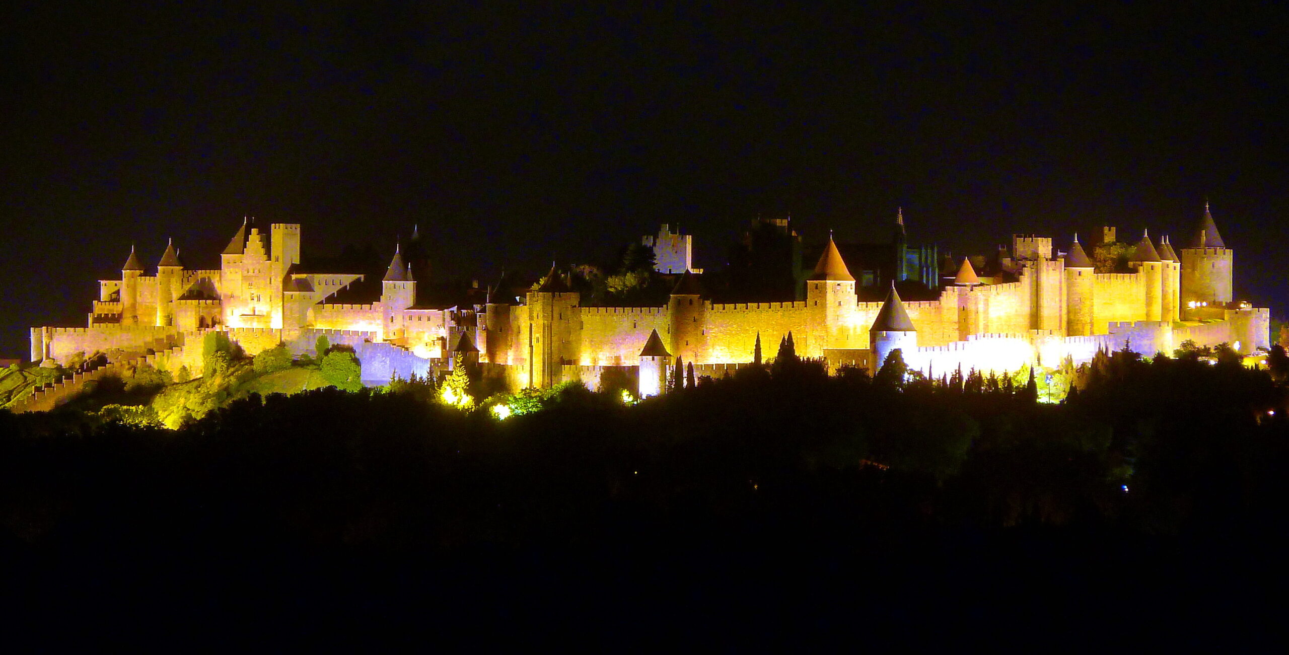
This day is free, you can stroll around town and discover the medieval city of Carcassonne, its museums, its lively squares and its palace. The hotel was chosen for its proximity to the old town, you can get there on foot.
In the evening: the meal will be shared which will allow us to introduce the guides and guides to you. It’s also a time for participants to meet, don’t hesitate to take advantage of the evening to get to know your co-travelers.
- Night in hotel in Carcassonne
| # | Path of the Cathars - France |
| Nature | 1/5 |
| Culture | 5/5 |
| Meeting | 5/5 |
| Comfort | Hotel |
| Transportation time | 15 minutes from the airport |
| Walking time | According to your desires for the day |
Day 2 : Carcassonne - Foix - Roquefixade
After breakfast, we gather at the foot of the hotel to take our place in the transport van. Meet around 8:00 a.m.
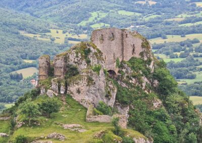
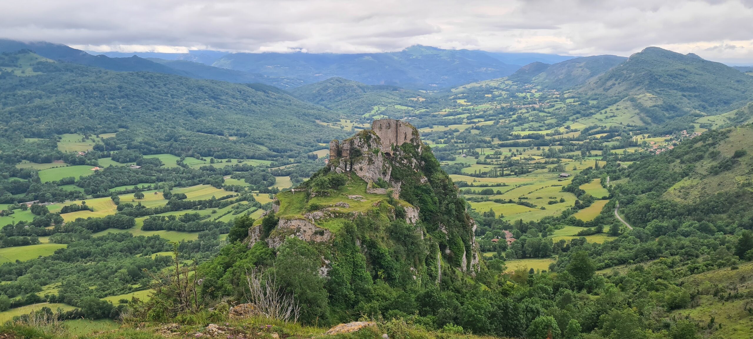
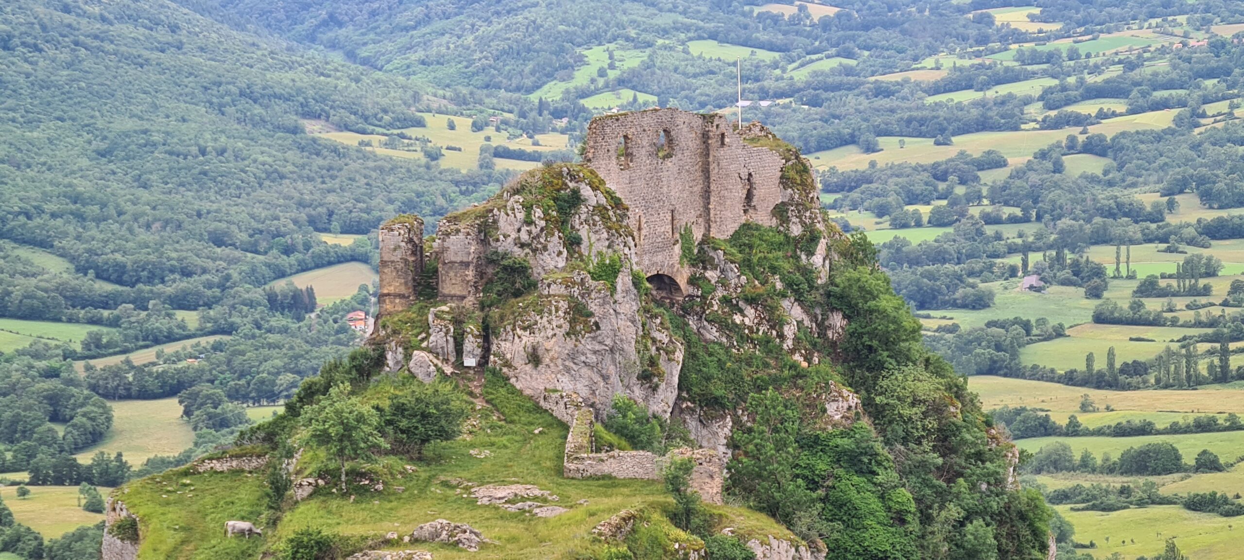
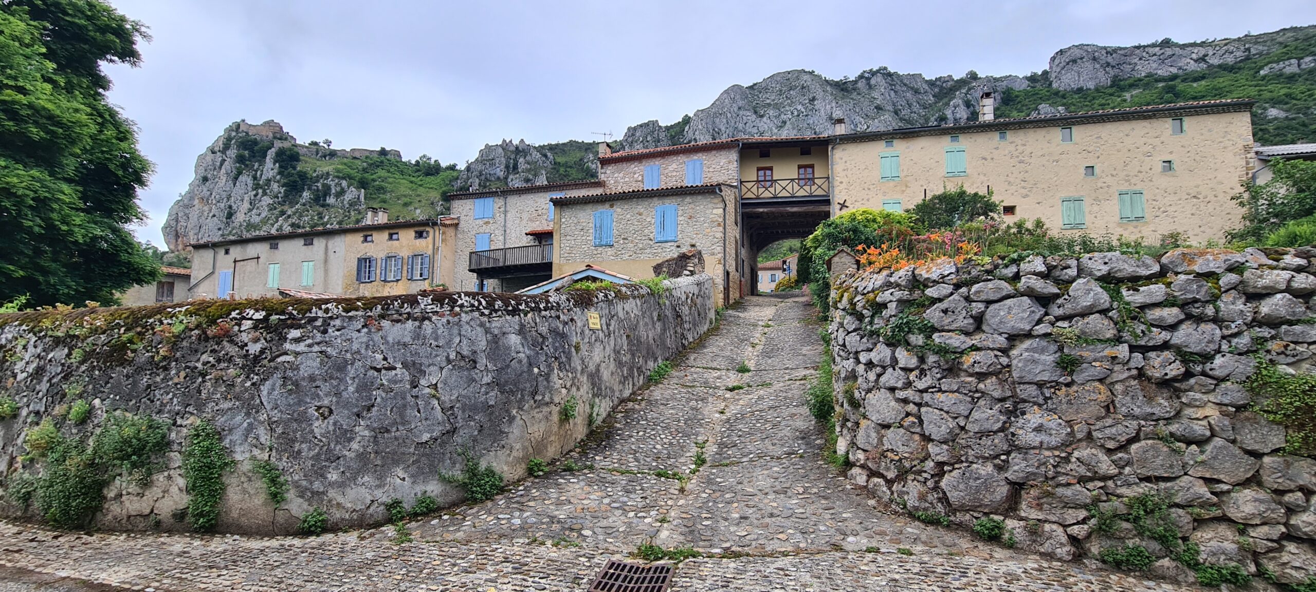
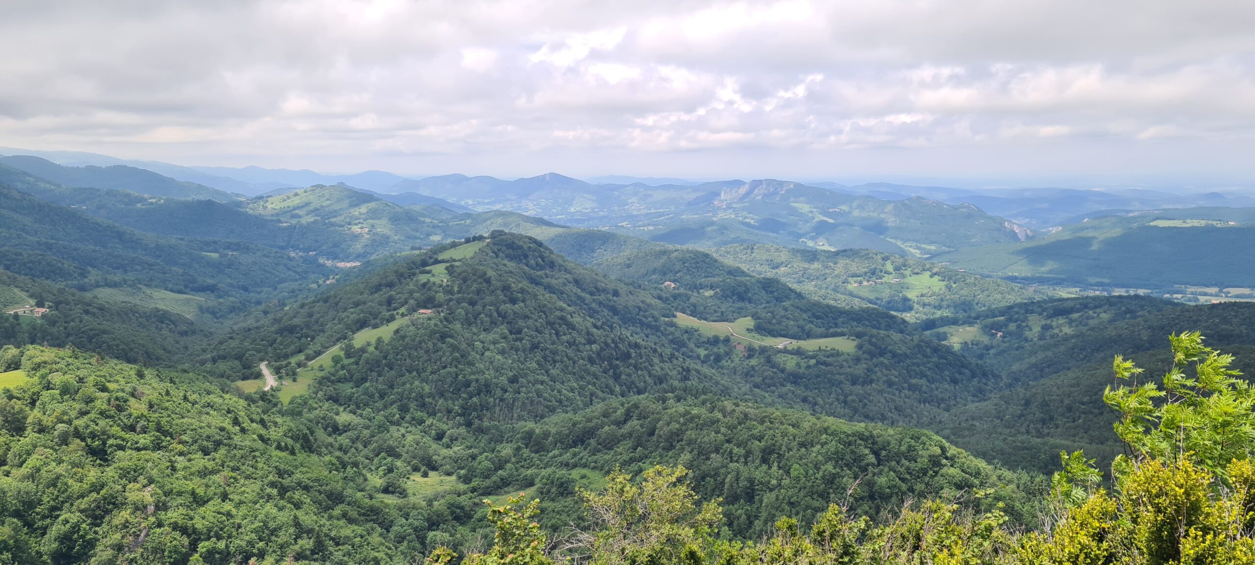
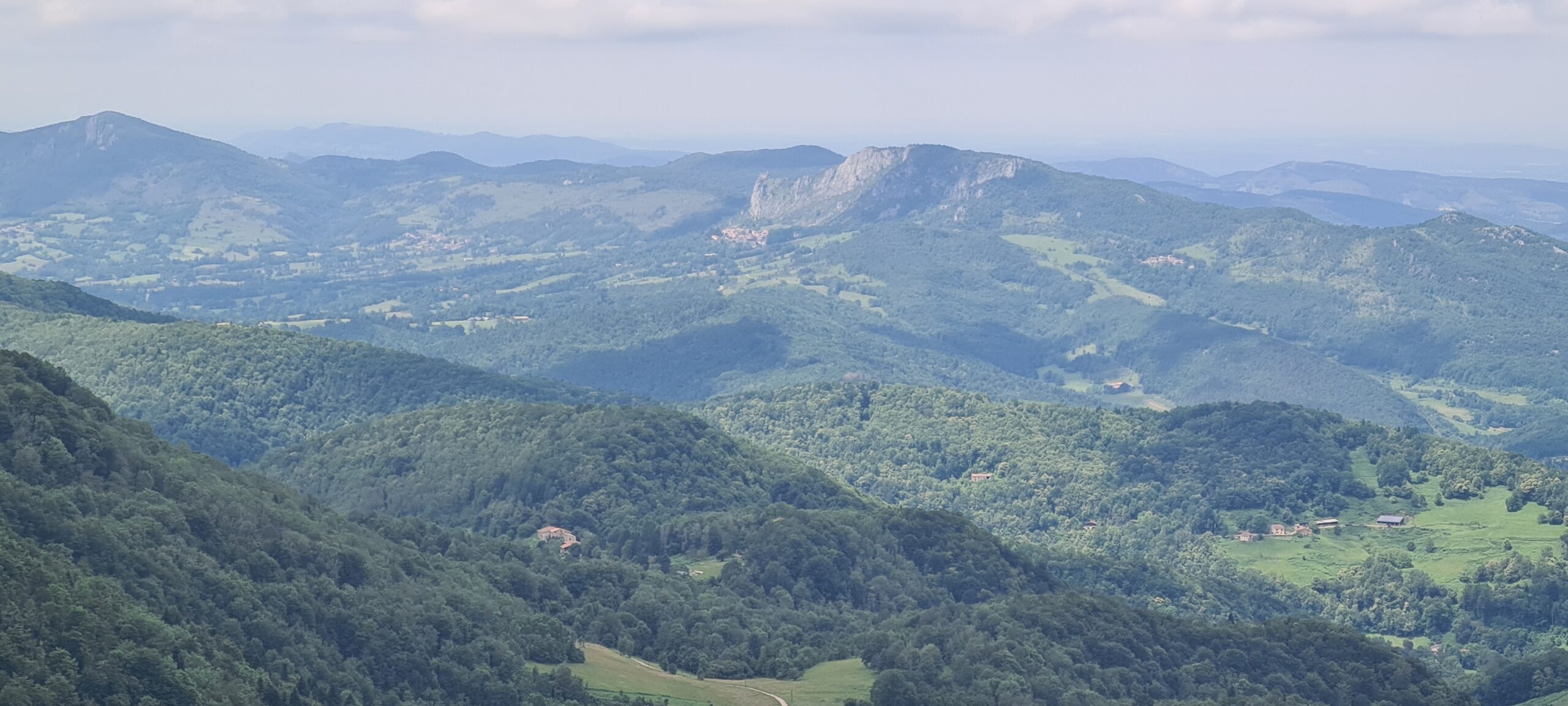
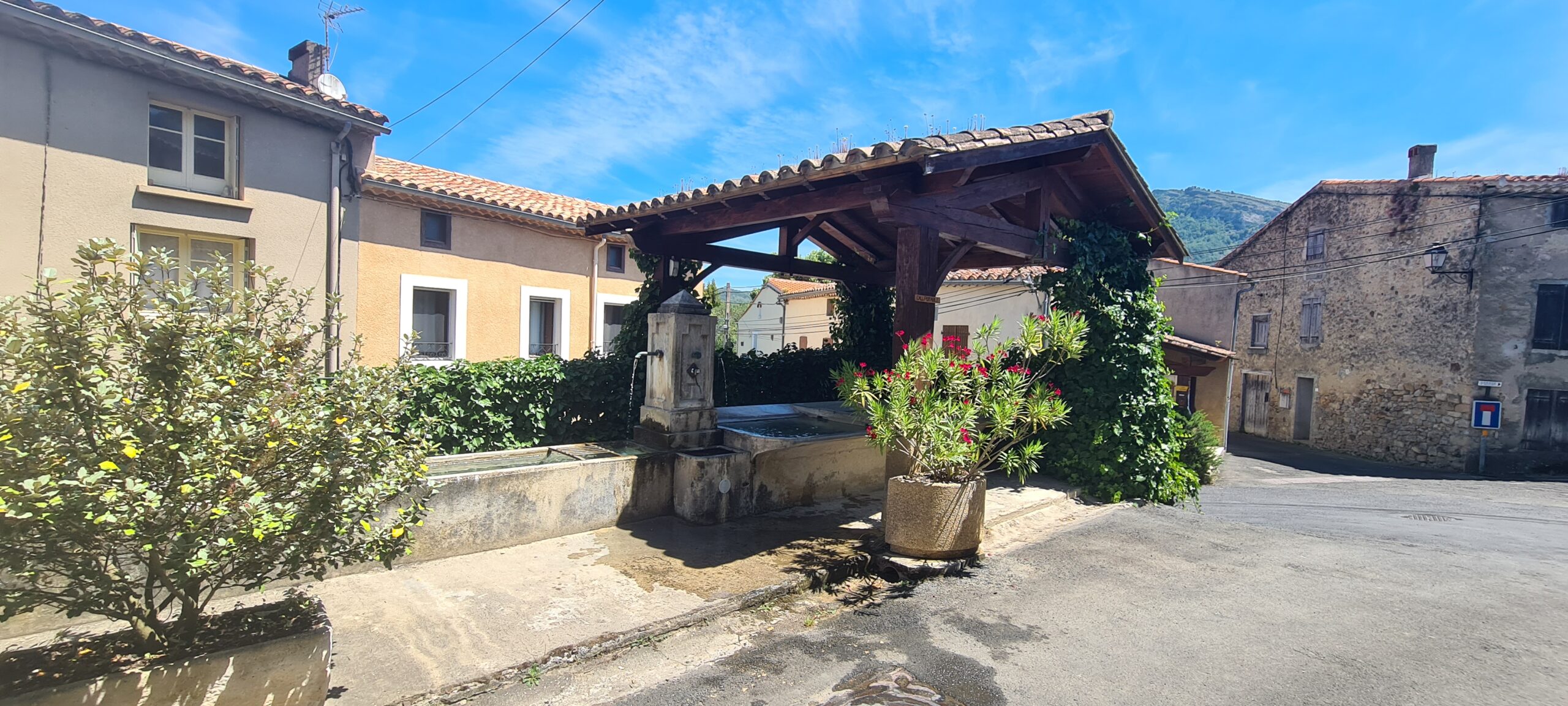
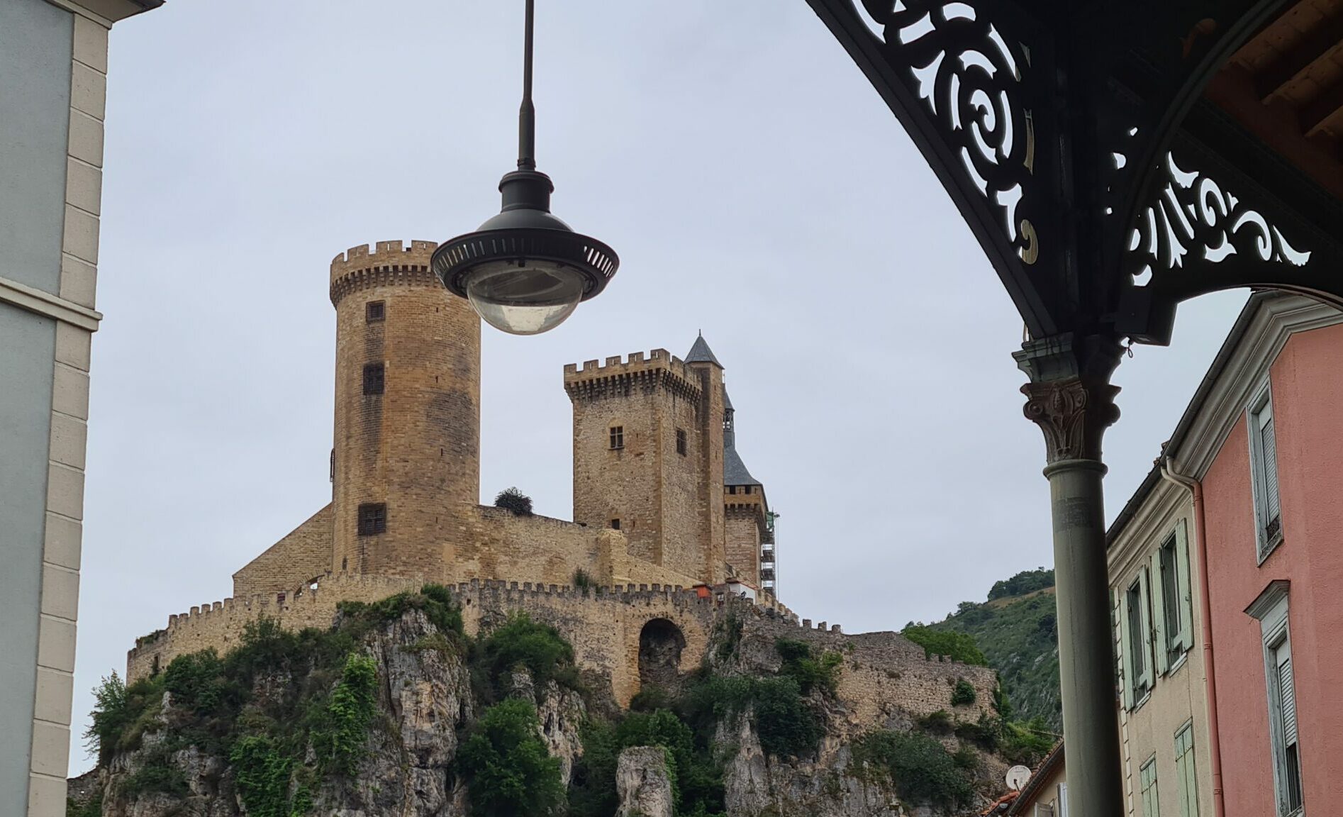
After an hour and a quarter of driving, we will arrive in the town of Foix, we will spend an hour in the town to see the castle of Foix and visit this typical medieval town in the South of France, then we will begin our trek by taking of height. The route is mainly in the forest, on the wide forest track of the Cap de Touron area, almost the entire way, passing through clearings and crossing small hamlets. At the end of the route and shortly before the castle we will follow steeper slopes which will take us to the castle of Roquefixade via a mountain path offering us a magnificent view of the valley, immersed in mist on rainy days or presenting a palette of multiple green shades on sunny days.
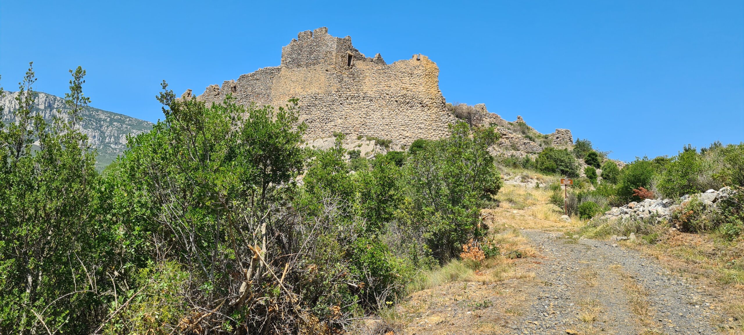
We will go slightly up the hill overlooking the village of Roquefixade to take the time to visit the castle. This was a refuge and a place of resistance for the Albigensians in the 13th century. In 1212 it fell into the hands of Simon de Montfort who then burned the village.
Fred, the owner of the gîte, will wait for us at his refreshment bar to refresh us.
- Accommodation : Gîte
- Transfers to Foix
- All food
- 1 to 2 French-speaking, English-speaking, Russian-speaking IDTrek guides
- Transport time: 1h15
| # | Path of the Cathars - France |
| Level of difficulty | 2/5 |
| Distance traveled | 10,56 miles |
| Cumulative elevation gain | +943 m |
| Cumulative negative elevation | -597 m |
| Nature | 5/5 |
| Culture | 5/5 |
| Meeting | 4/5 |
| Comfort | Gite |
| Transportation time | 1h15 - 55,30 miles |
| Walking time | 6 - 7 h |
Day 3 : Roquefixade - Montségur
- the lives of soldiers and laymen will be spared ;
- the perfect who deny their faith will be saved ;
- a fifteen-day truce is granted for the Cathars who wish to prepare and receive the last sacraments.
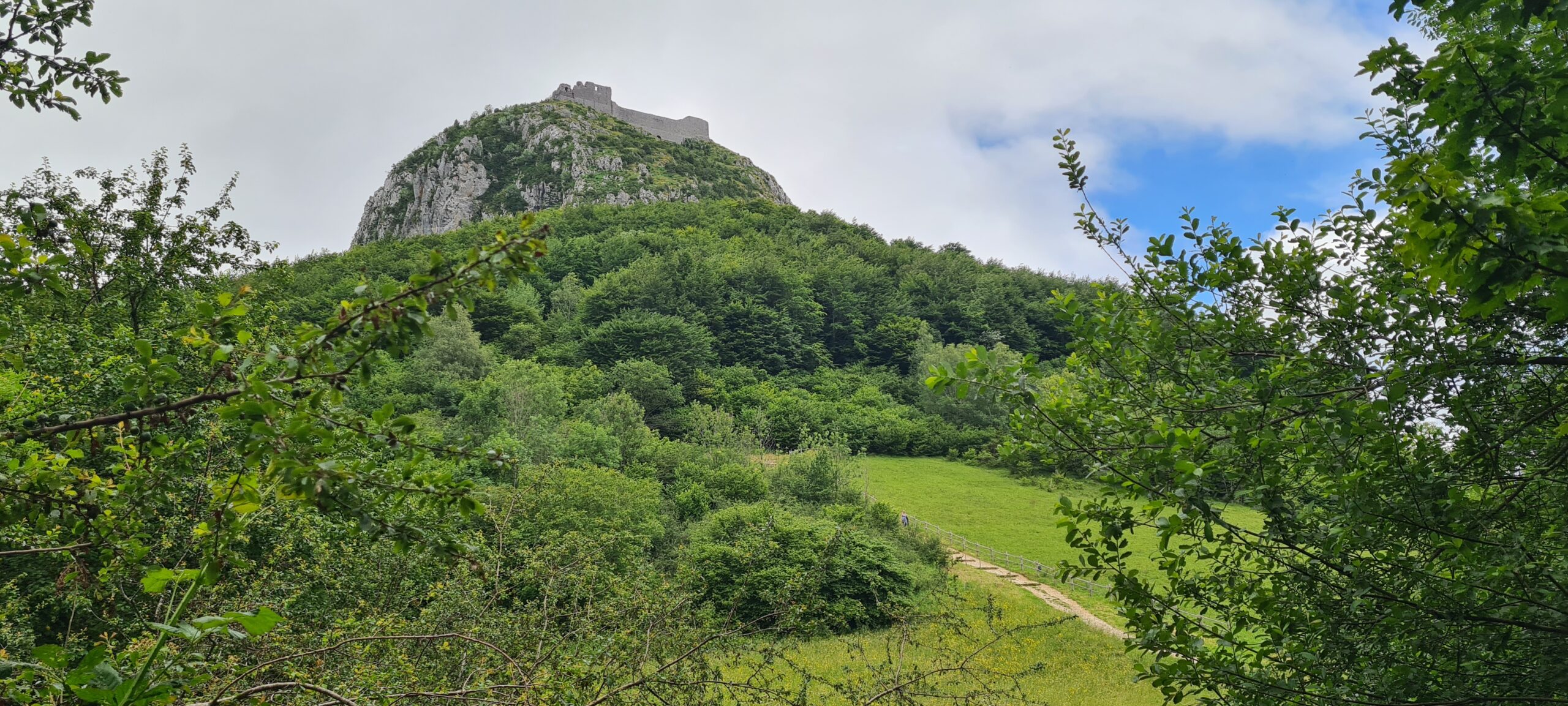
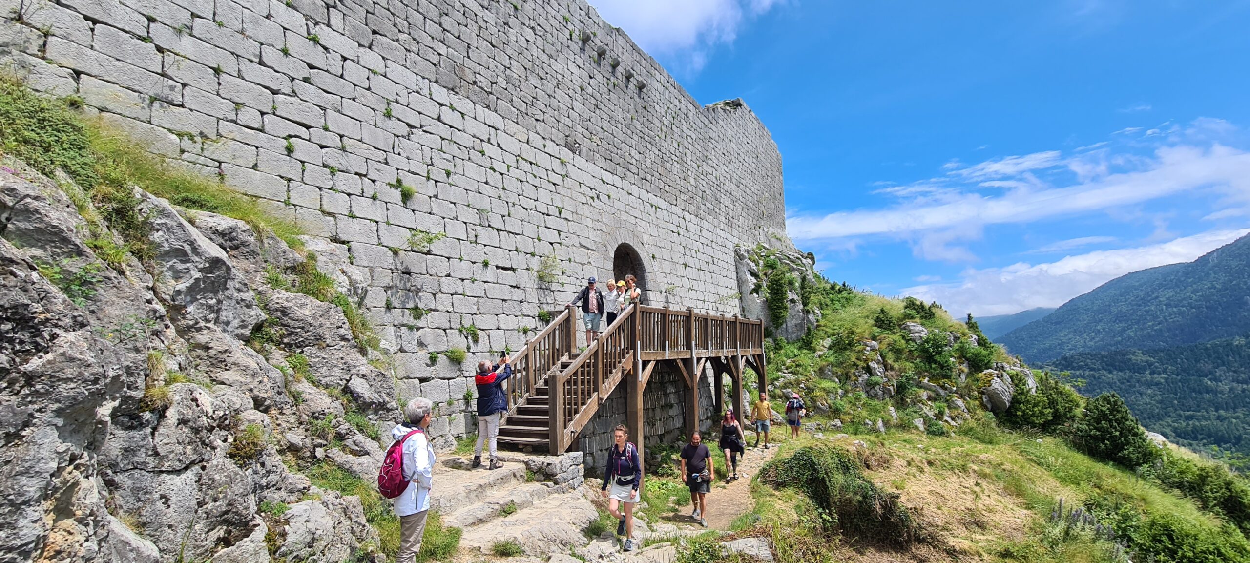
- The solar phenomenon of Montségur : Winter solstice and summer solstice cross with their first ray of sunlight on the horizon, respectively the length of the castle and the four arches of the keep in the northwest with millimeter precision which for some would be the evocation of a Zoroastrian cult.
- The treasure of the Cathar Church : Montségur is supposed to have housed the rich treasure of the Cathar Church. Part of this treasure (gold, silver and coins) could have escaped the Inquisition following the flight on horseback of the perfect Mathieu and the deacon Bonnet around Christmas 1243 who would have reached Italy in Cremona, where another important Cathar community lived. A second part of the treasure was apparently saved during the truce of March 1244 thanks to four individuals fleeing from Montségur with a load. These would actually be the numerous heretical texts kept by the Perfects in the fortress.
- The Pyrenean Grail : the cup in which Joseph of Arimathea is said to have collected the blood of Christ on Mount Golgotha, or the famous Grail, would have been one of the major pieces of the treasure of the Cathar Church. Otto Rahn, famous German archaeologist and SS officer, largely contributed to the expansion of this myth. The Grail would still be locked inside the Montségur mountain if we are to believe other traditions.
- A white lady, ghost of Montségur : on stormy evenings, Lady Esclarmonde would haunt the ramparts of the citadel. A fervent promoter of Catharism, she was probably the daughter of Lord Raymond de Péreille, lord of the castle of Montségur and died among the victims of the inquisition on March 16, 1244 at the stake of Montségur as a Cathar woman. The ghost of Montségur mourns the Cathars, and thus seeks to warn the inhabitants of Montségur that a great disaster is brewing.
The view from the castle is magnificent and the horizon is visible for several hundred kilometers. Climbing there will require a final effort, but you will not regret the energy spent once at the top…
- Accommodation : B&B
- All food
- 1 to 2 French-speaking, English-speaking, Russian-speaking IDTrek guides
| # | Path of the Cathars - France |
| Level of difficulty | 2/5 |
| Distance traveled | 8,07 miles |
| Cumulative elevation gain | +941 m |
| Cumulative negative elevation | -789 m |
| Nature | 5/5 |
| Culture | 5/5 |
| Meeting | 4/5 |
| Comfort | Guesthouse |
| Walking time | 6 - 7 h |
Day 4 : Montségur - Puivert
This day will be without any measure the longest (almost 35 km) and the most enduring of the entire route. The route cuts the usual path of the Cathars via the Pelail and goes directly towards the Languerail plateau, skipping the Frau gorges. The terrain will be varied but rolling, it presents little difficulty. The main difficulty therefore lies in the distance to be covered. Be careful of blisters which can occur over such long distances; protecting yourself from them will help you avoid spoiling the rest of your stay.
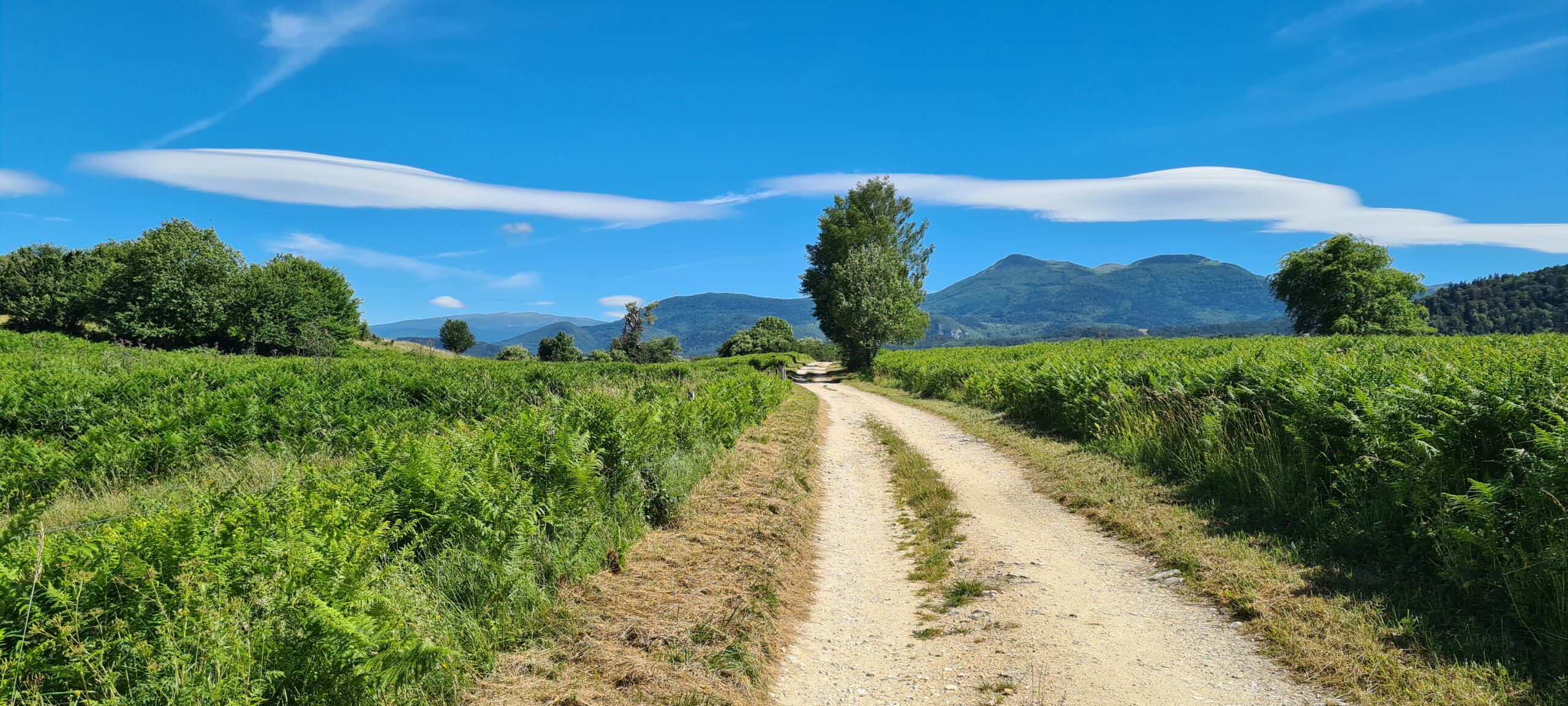
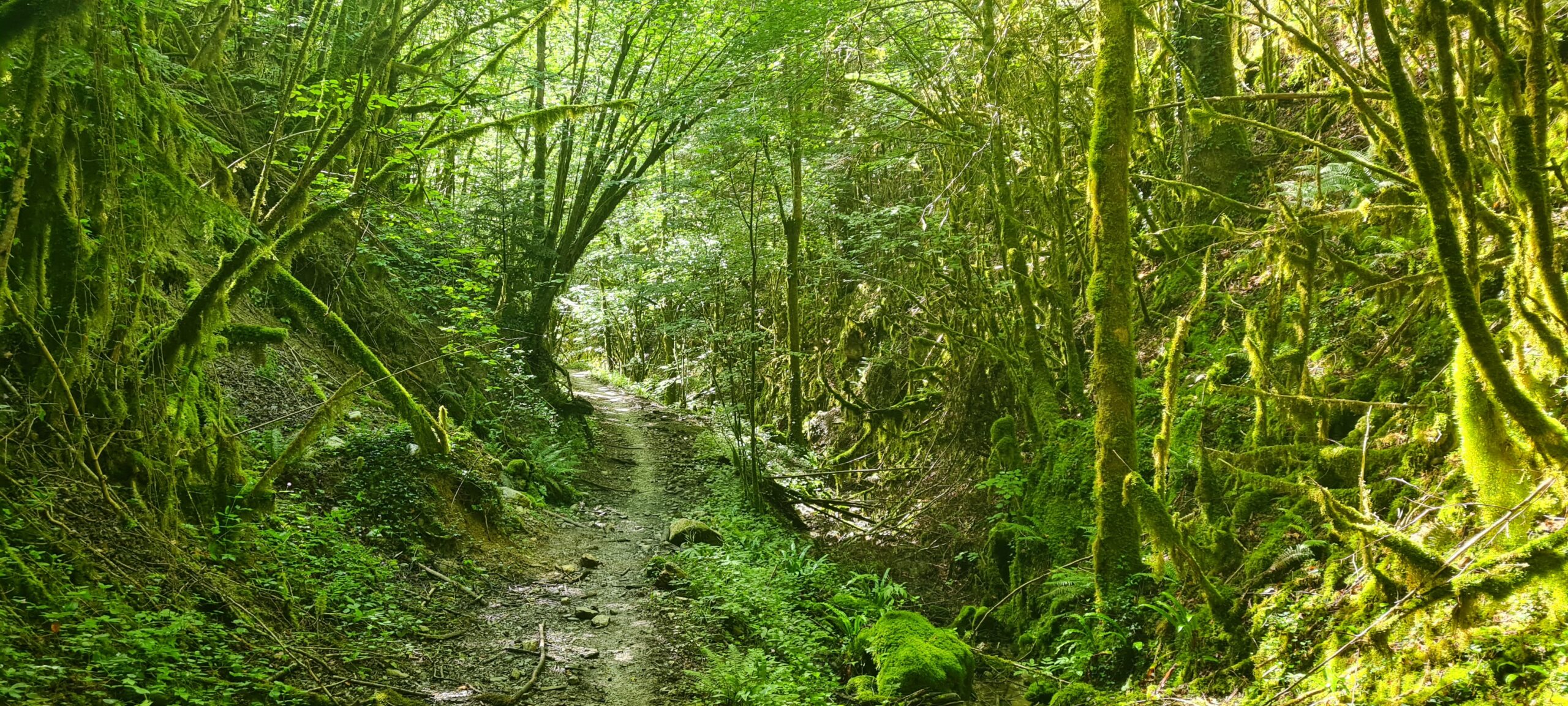
We will therefore start the day early, breakfast will be served around 7:30 a.m., to allow a departure around eight o’clock. This time, it is through the Corret forest that we will walk. After leaving Montségur, we will progress on a mountain path among tall conifers, then along the thalweg of the Rivets stream which will take us to the hamlet of Pelail. This stream is enchanting because the woods will remind you of the forests of Brocéliande, the trees are covered with moss and lianas, letting out rays of rainbow lights here and there on the path and allowing you a direct connection with the natural environment that surrounds you. We will then leave the GR to follow a somewhat abandoned track which goes up another stream towards Pas de L’Ours. The track quickly takes up a mountain path which climbs to the top of a hill from where you can observe the castle of Montségur in the distance one last time and appreciate the distance covered.
Our route will continue on the Languerail plateau, made up of cow meadows and conifers. Going back down to Espezel, we will cross large fields of wheat blown by the wind. Finally, the undergrowth of the Comefroide-Picaussel national forest will once again protect us from the sun’s rays all the way to Puivert.
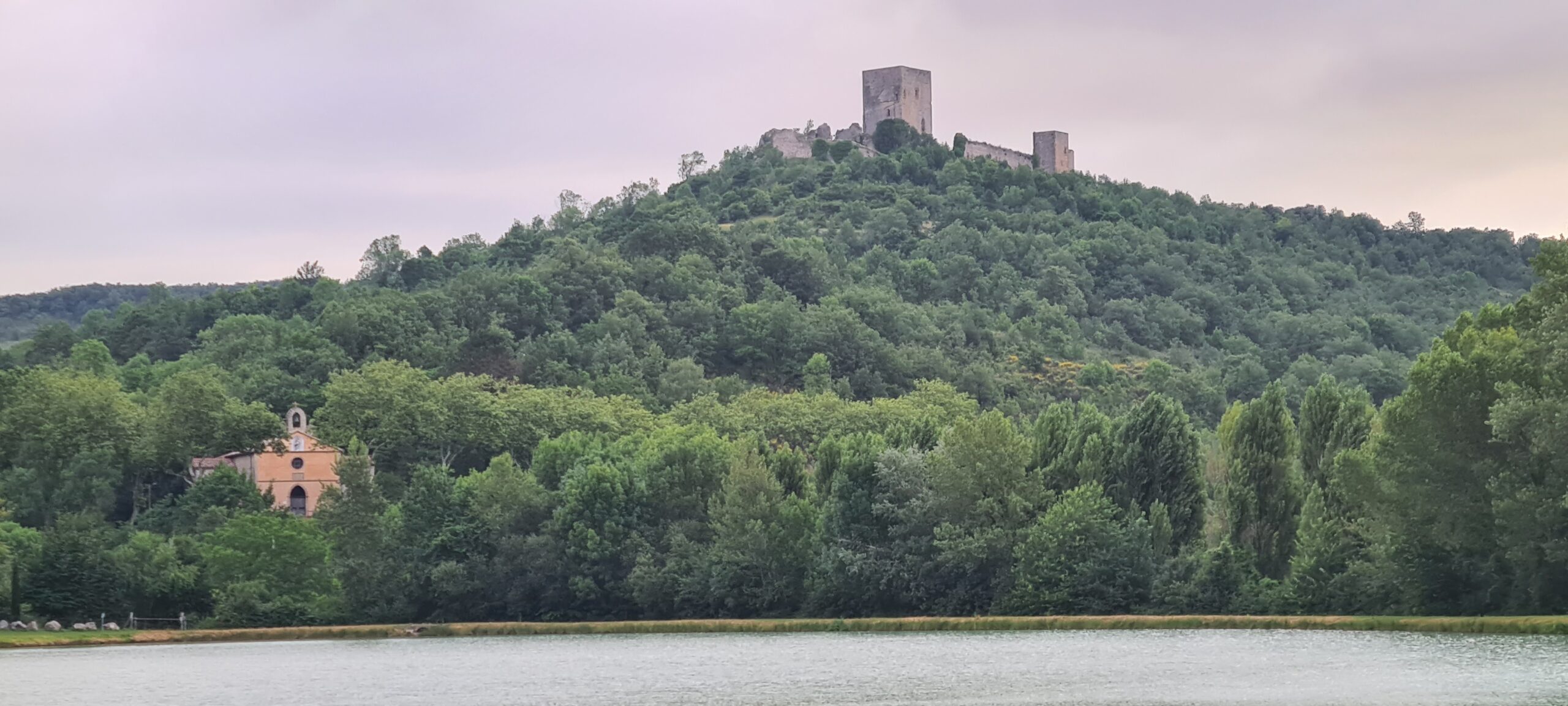
After such a long day, you will find your tents set up and ready to use. You can then enjoy one of the many evenings at the campsite, calm or lively depending on local festivals. From the campsite, you can observe beyond its lake, the Puivert castle erected on its hill.
Please note :
This route allows you to skip the stages of Comus and Espezel for reasons of rare housing in these two towns. However, for small groups (2-4 people), and for an additional fee, the route can be extended by one day to visit the Frau gorges, which constitute one of the most interesting natural environments on the Cathar trail.
- Accommodation : tent
- All food except the evening meal
- 1 to 2 French-speaking, English-speaking, Russian-speaking IDTrek guides
| # | Path of the Cathars - France |
| Level of difficulty | 5/5 |
| Distance traveled | 21,13 miles |
| Cumulative elevation gain | +1136 m |
| Cumulative negative elevation | -1580 m |
| Nature | 5/5 |
| Culture | 3/5 |
| Meeting | 5/5 |
| Comfort | Tent |
| Walking time | 11 - 12h |
Day 5 : Puivert - Nebias - Quillan
We will leave the lake campsite early because a long road awaits us. First of all, we will go back up to the village of Puivert to climb about 200 meters, and reach the Puivert castle which is one of the best preserved on our route because it is private property and is therefore well maintained. The castle mainly consists of a rectangular enclosure, pierced with arches. The castle became famous in the 12th century for its “love courts” held by the Troubadours. At the start of the crusade in 1210, the army led by Simon de Montfort took the castle after 3 days of siege. If you have purchased an entrance ticket to Puivert Castle, we will make a stop to visit it (1 hour).
After our visit, we will progress into the Espezel woods and follow the mountain which separates us from the small village of Nébias. This being located approximately halfway, we can stop in the village café and quench our thirst.
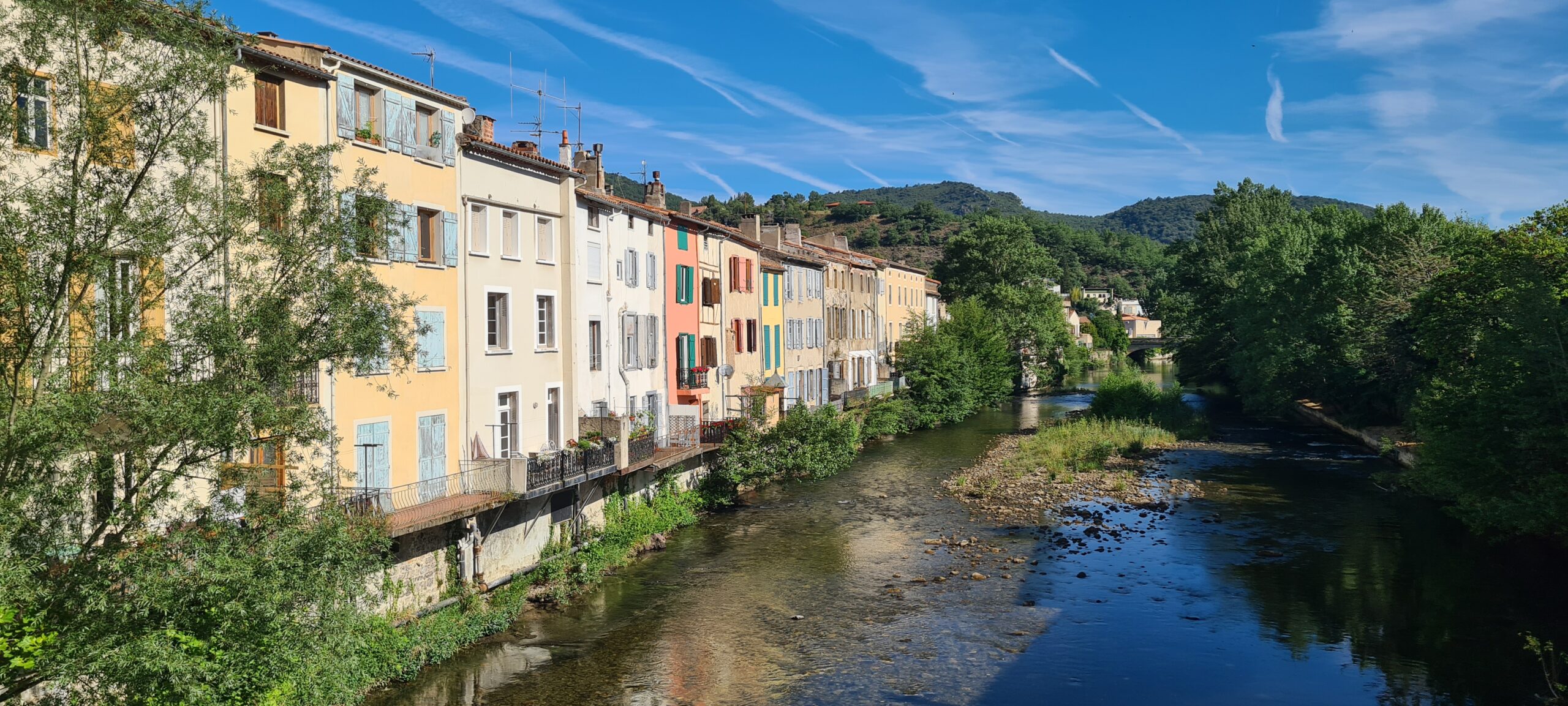
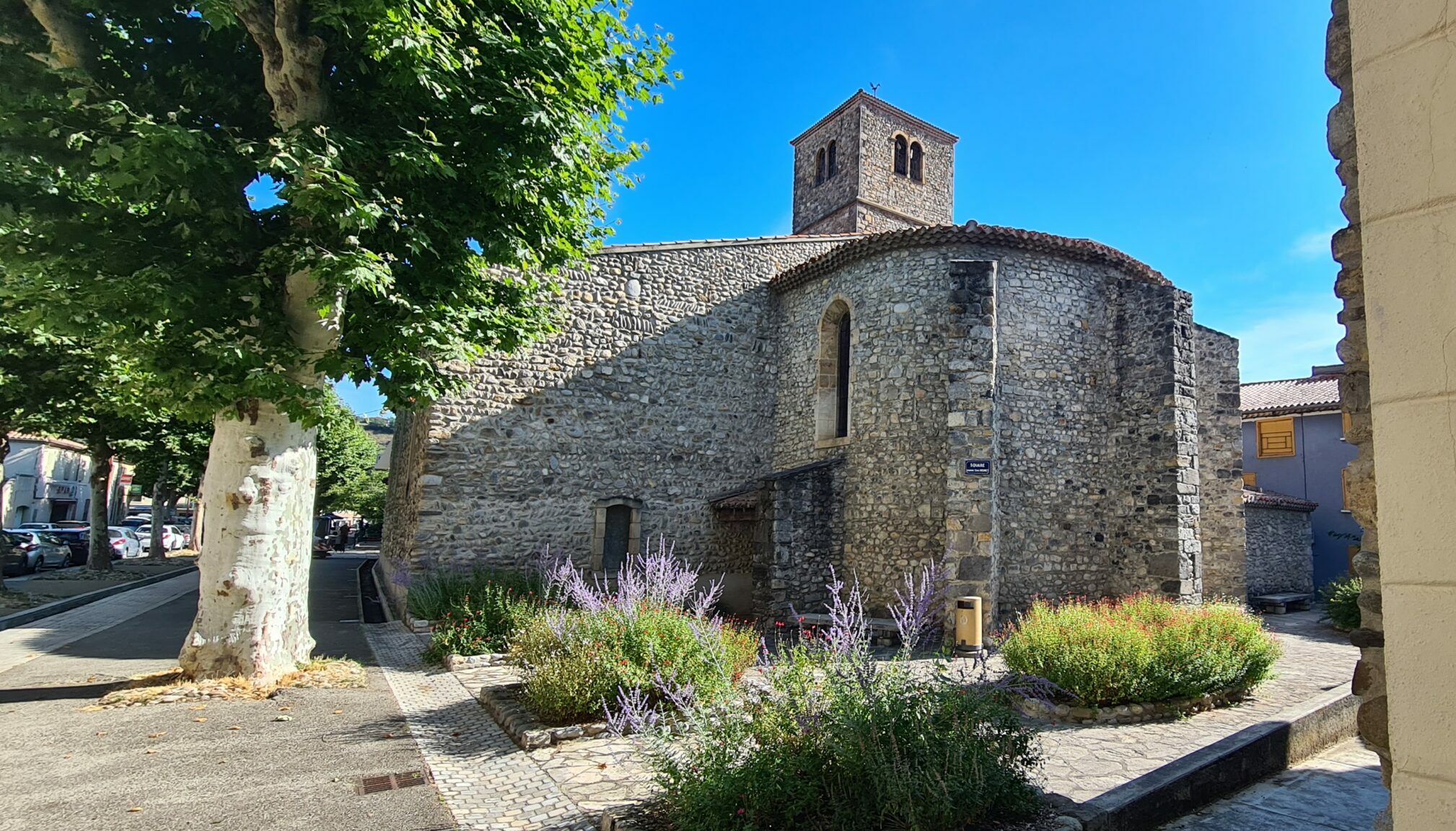
Then we will cross the valley to go up the hills on the other side (330m), and dive back into the undergrowth. This is the beginning of the Corbières natural park. Here you can start to feel the vegetation changing into scrubland. We will pass a pass that we will have to climb to then begin a long descent of more than 550m towards the town of Quillan through narrow paths and offering us magnificent views of what awaits us. The entrance to the town is rather modern but you can see beautiful 18th century buildings there, probably built by rich merchants returning from the Americas.
After our various adventures, a good rest awaits you in the La Chaumière hotel.
- Accommodation : hotel
- All food except the evening meal
- 1 to 2 French-speaking, English-speaking, Russian-speaking IDTrek guides
| # | Path of the Cathars - France |
| Level of difficulty | 3/5 |
| Distance traveled | 11,80 miles |
| Cumulative elevation gain | +793 m |
| Cumulative negative elevation | -605 m |
| Nature | 5/5 |
| Culture | 5/5 |
| Meeting | 3/5 |
| Comfort | Hotel |
| Walking time | 6 - 7 h |
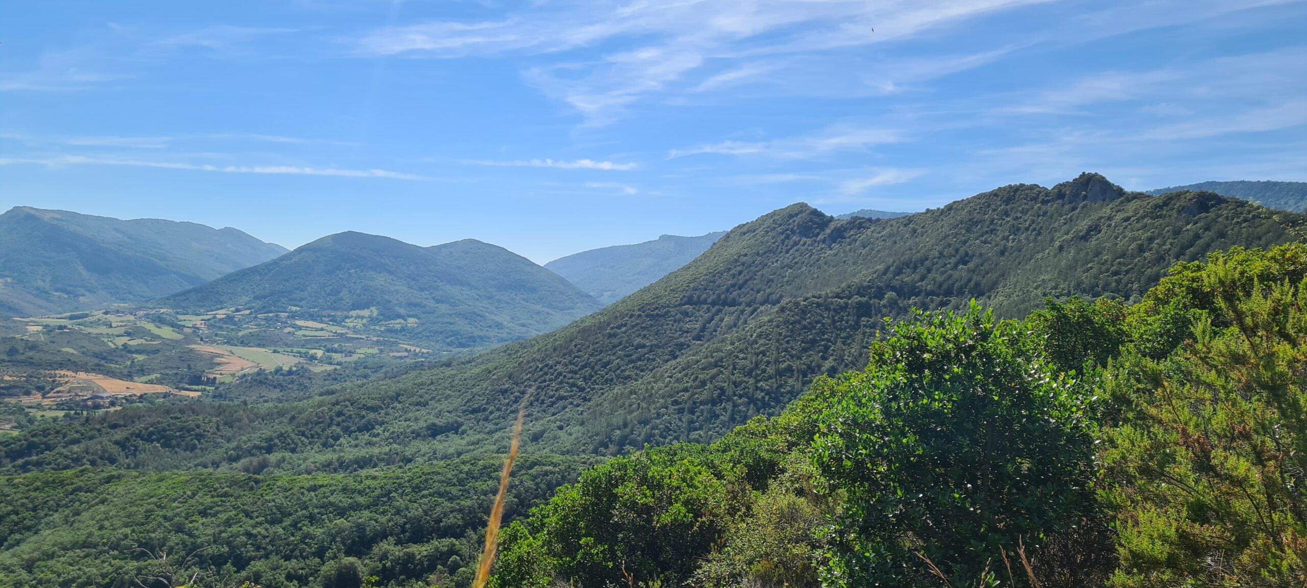
Day 6 : Quillan - Bugarach
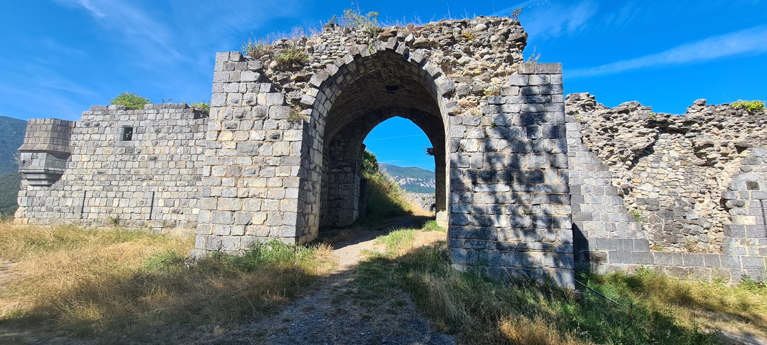
After a nice restorative night and a hearty breakfast, we will cross the more medieval old Quillan, and cross the Aude river, to go up to the Quillan castle which overlooks the town. Quillan Castle still has its square enclosure measuring approximately 34 meters on each side and is one of the smallest castles on the route. Despite its strategic position in the Aude valley, Quillan seems to have been spared by the crusade against the Albigensians.
The visit is quick and we will be able to reach our next objective: Bugarach. To reach it, we will have to cross the Corbières. The temperatures here are increasing and thirst is felt. Remember to take at least 2L of water per day. 2 Fountains will allow us to supply ourselves with drinking water in two small villages: Saint Julia-de-Bec and Saint Just-et-le-Bézu.
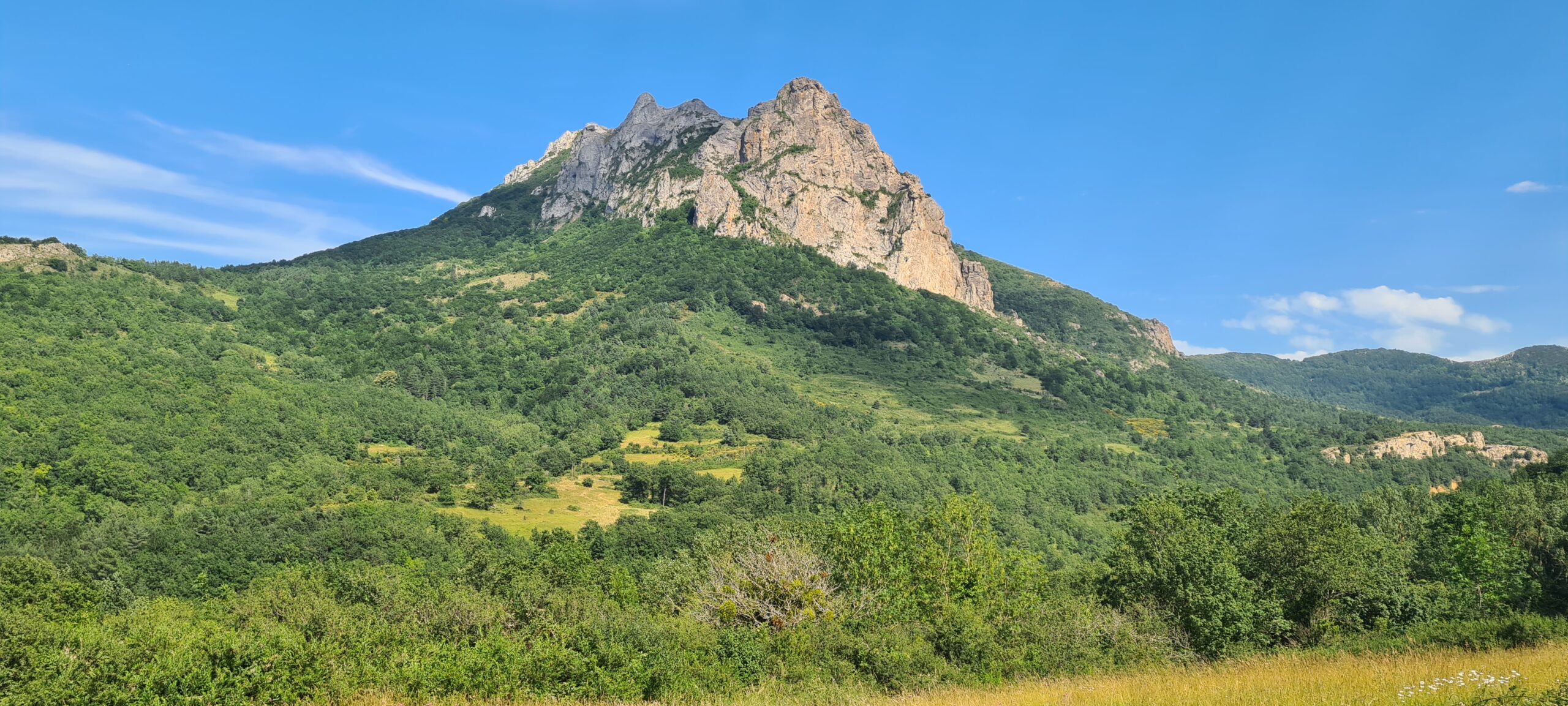
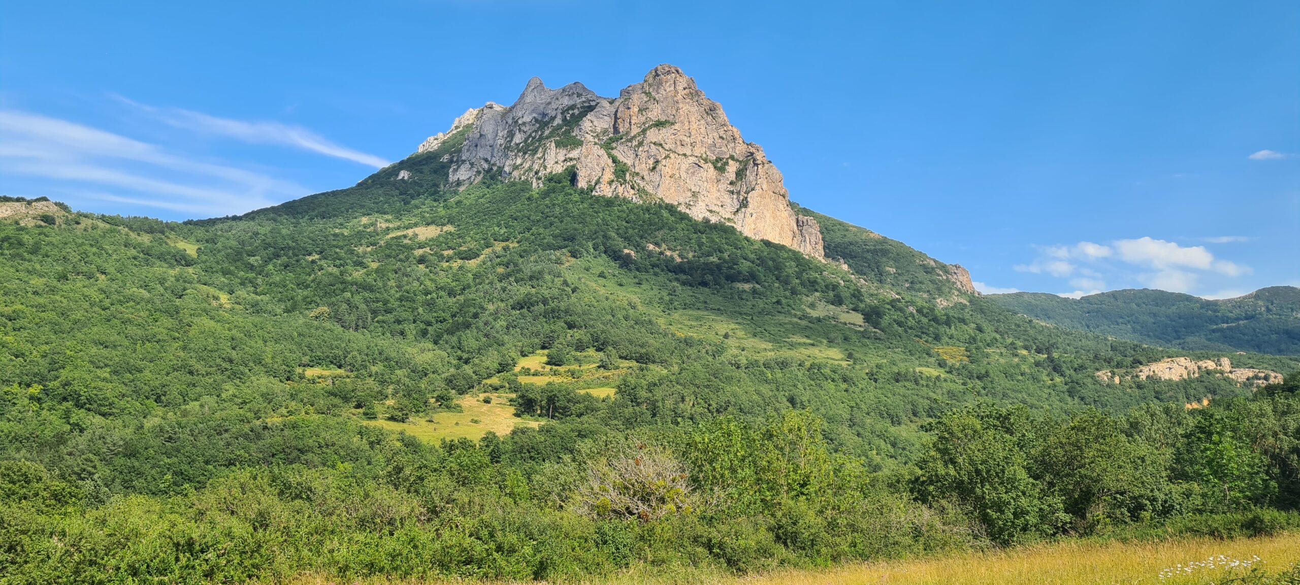
Little by little, the peak of Bugarach asserts itself in the distance, at 1230m high, it is the highest point of the massif.
- Accommodation : dormitory
- All food except the evening meal
- 1 to 2 French-speaking, English-speaking, Russian-speaking IDTrek guides
| # | Path of the Cathars - France |
| Level of difficulty | 3/5 |
| Distance traveled | 14,29 miles |
| Cumulative elevation gain | +769 m |
| Cumulative negative elevation | -938 m |
| Nature | 5/5 |
| Culture | 3/5 |
| Meeting | 5/5 |
| Comfort | Dormitory |
| Walking time | 7 - 8 h |
Day 7 : Bugarach - Camp-Sur-Agly
There are traces of the village of Bugarach from the beginning of the 13th century. Simon de Montfort quickly conquered the various villages in the area and bequeathed it to his seneschal, Pierre de Voisins. Bugarach nonetheless remains one of the emblematic places of our route: the peak of Bugarach is the highest point of the Corbières massif (1230 m). The peak of Bugarach is nicknamed “overturned mountain” because of the violent tectonics that the region has undergone.
In addition, the village of Bugarach reached its economic and international peak at the end of the 20th century, the peak becoming a hippie destination of choice. Some believe that telluric properties are present in this place; or that it shelters a hidden treasure; or even that there are UFOs there. At the beginning of the 21st century, the idea that the village would be spared by the “end of the world of December 2012” began to spread around the world. Interest in this place and its attendance are increasing to the point that the Aude prefecture has come to ban access to the mountain for 3 days around December 21, 2012 as well as its flight. During these days, more than 300 accredited journalists and 84 different media from 18 countries will monitor the events. Faced with this media excitement, a documentary, Médiapocalypse, will be produced and put online a year later. the hippie community is still very present there and immerses you in France in the 2000s.
Our route today will seem like a day of rest, in fact, we will just climb the peak from where the panoramas will take your breath away and come down on the other side, a distance of 12km. It will be even easier if the peak is covered in mist, its access being limited in the event of bad weather, we will have to go around it on flatter and rolling terrain. We will reach the village of Camp-Sur-Agly late in the morning.
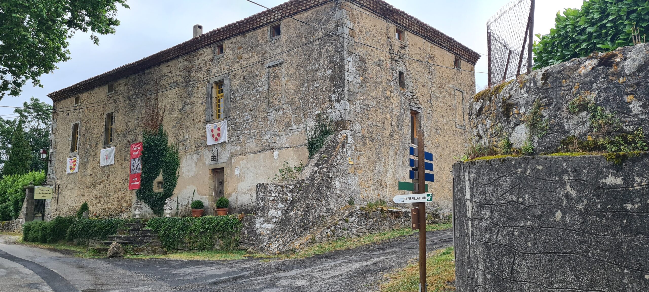
For the most courageous, and those who have purchased a ticket for the Corbières-Sur-Cignoble castle, we can continue our route for 3.5 km and visit the castle which has become a museum. It is a small stately residence rebuilt in the 17th century and therefore the best preserved on the route. The castle experienced the last Perfect Cathar, Guilhem Bélibaste, the wars of religion, and the Revolution. Its magnificent botanical garden will introduce you to magical plants from the 13th century, including the mandrake. Please note, if you have taken advantage of the afternoon to visit the castle, note that you will have to return to Camp-Sur-Agly to reach our guest room.
- Accommodation : guesthouse
- All food except the evening meal
- 1 to 2 French-speaking, English-speaking, Russian-speaking IDTrek guides
| # | Path of the Cathars - France |
| Level of difficulty | 2/5 |
| Distance traveled | 7,45 miles |
| Cumulative elevation gain | +849 m |
| Cumulative negative elevation | -838 m |
| Nature | 5/5 |
| Culture | 1/5 |
| Meeting | 5/5 |
| Comfort | Ghesthouse |
| Walking time | 4 - 5 h |
Day 8 : Camp-Sur-Agly - Cubières-sur-Cignoble - Duilhac-sous-Peyrepertuse
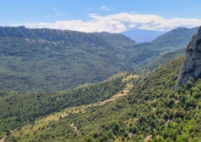
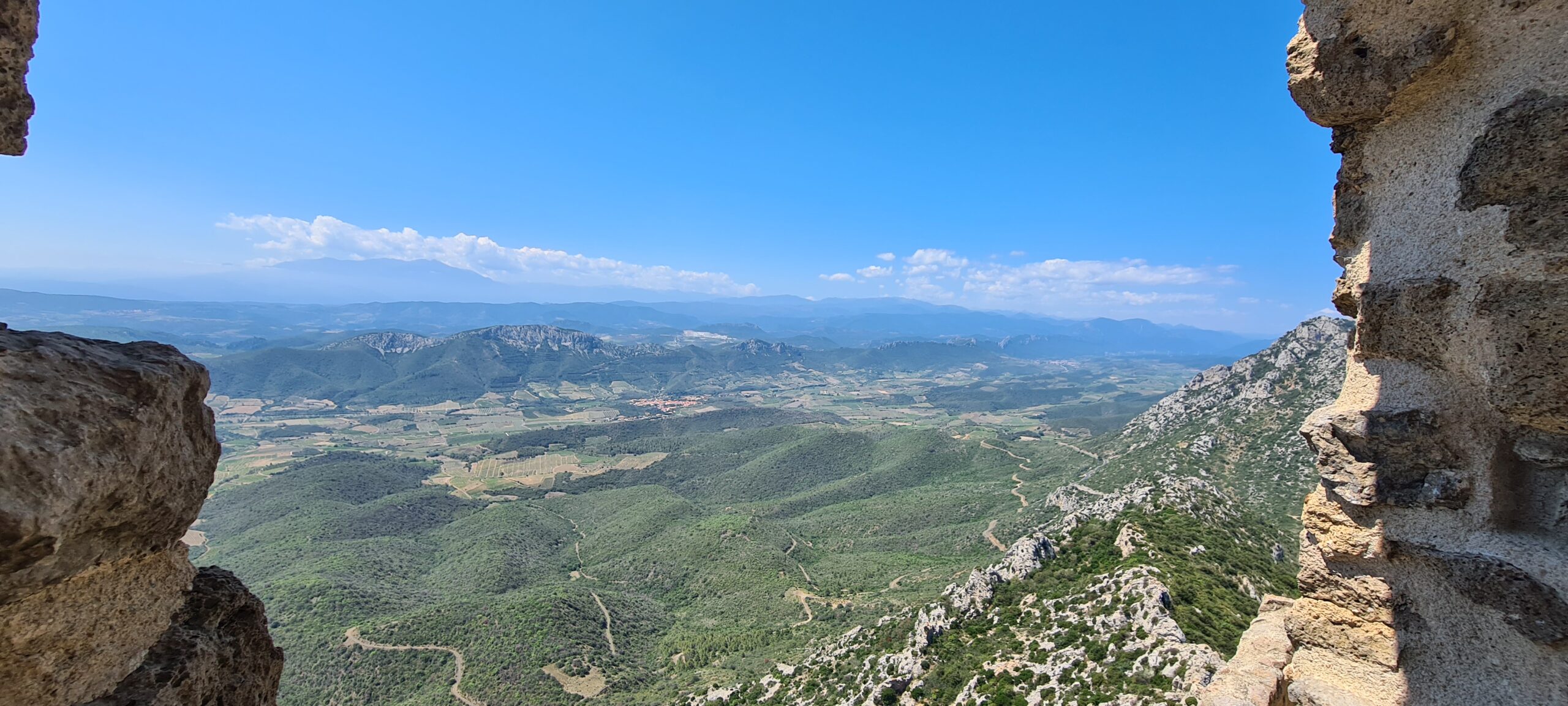
Today we have a great adventure waiting for us, first of all we will have to reach Cubières-Sur-Cignoble, which will be relatively easy, with gentle slopes and wide paths, then we will continue for a while on the departmental 10 to begin our ascent of the Das Souls pass followed by the Pech d’Auroux. The total height difference is around 560m, but as you climb, you will begin to see the Galamus gorges. Several flora and fauna species are protected there, such as the Golden Eagle or the Grand Duke… The waters of the Agly have dug this impressive canyon approximately 500 meters deep. It is from the summit that the spectacle really begins, with all the eastern Pyrenees emerging on the horizon as well as the entire wine-growing valley of Saint Paul de Fenouillet. We will follow the ridges for a good kilometer before being able to observe the other slope with the Roc de Sagnes on which our next target is perched and the valley of Duilhac-sous-Peyrepertuse.
From this point of view, and with good eyes, the fortifications of the castle are already visible. We already know what we will have to go through. The descent is through thick and shady scrubland. At the exit of the Garrigue and from a distance the dirt track that we could observe from the summit and which seemed to us to be kilometers long will be quickly covered. We will begin the second major climb of the day, this one is only around 300m but will be steep and arduous. It will allow us to reach the Château de Peyrepertuse without having to follow the road.
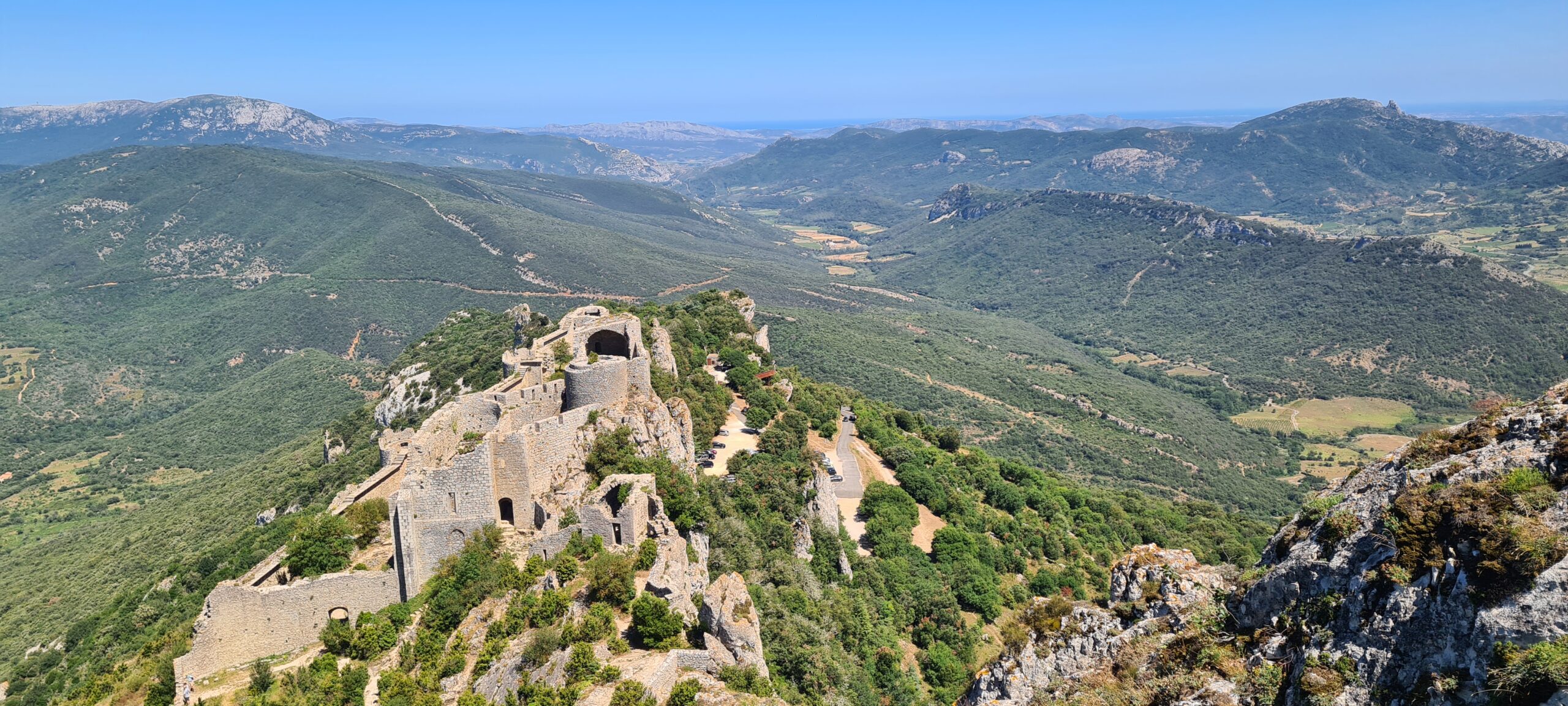
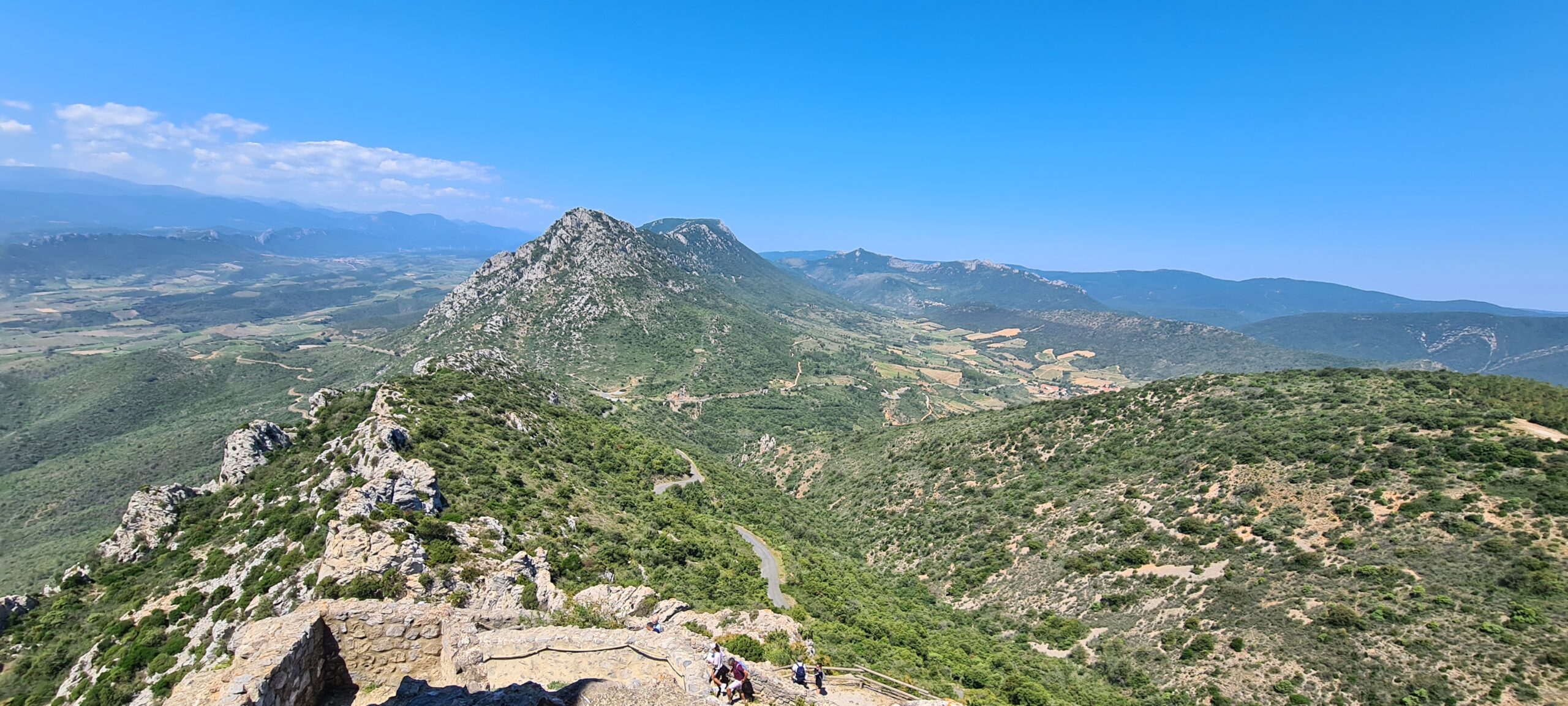
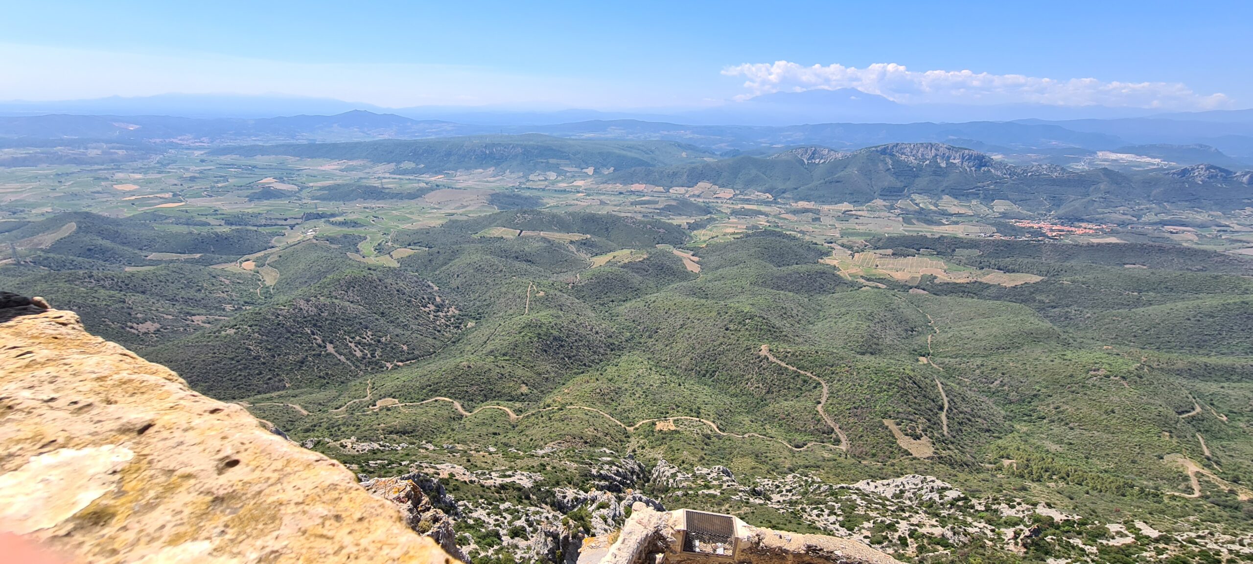
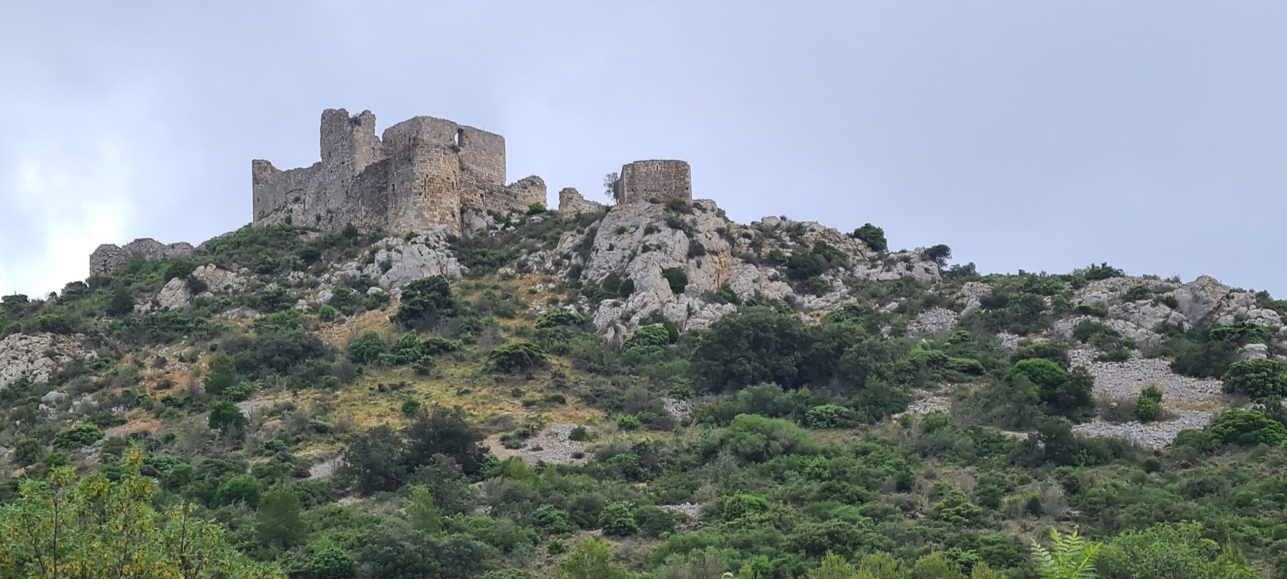
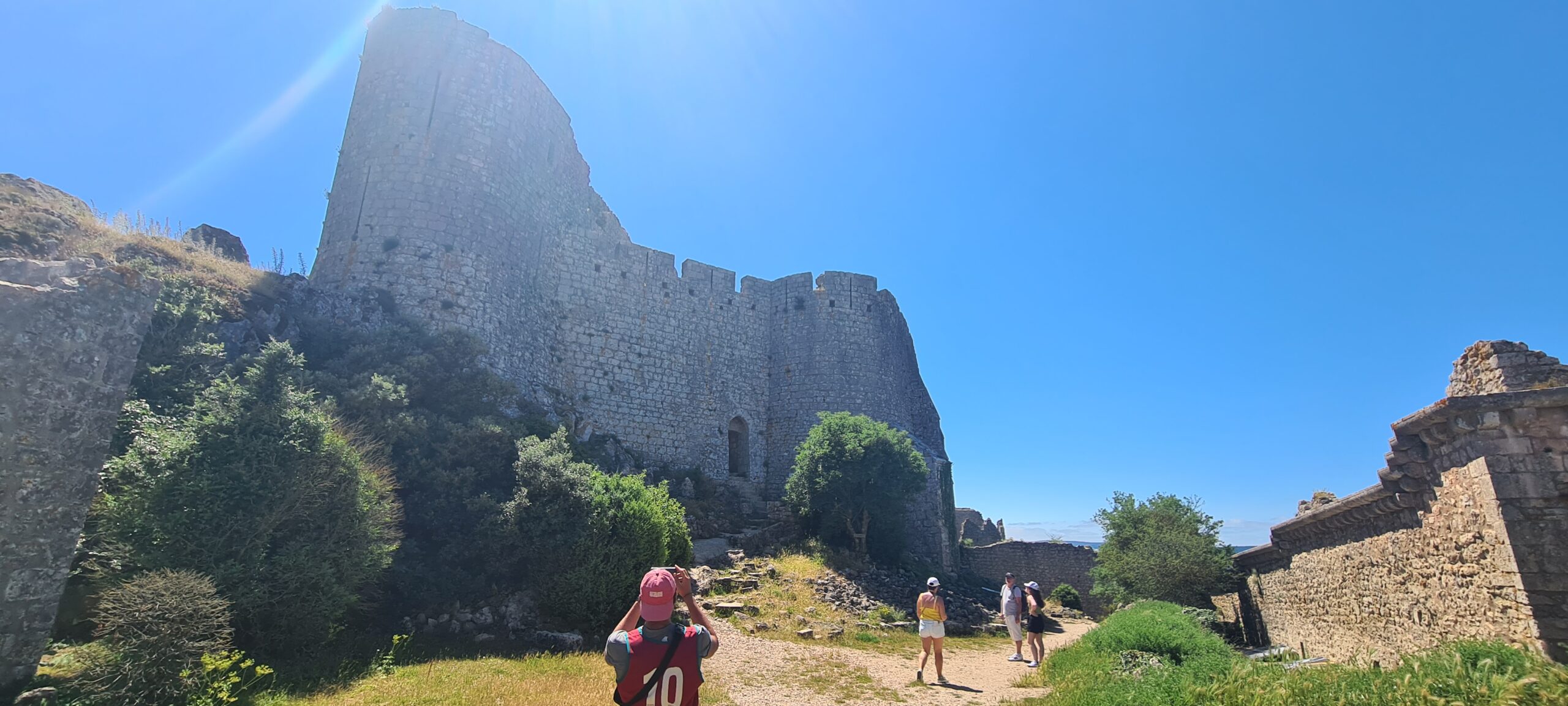
From a strategic point of view, Peyrepertuse dominates the Corbières, and from its ramparts you can see the castle of Quéribus to the South-East, the Pech de Bugarach to the West, Mont Tauch to the North-East as well as, in good weather, a view of the Mediterranean, some 40km further. Perfectly matching its limestone cliff, the Peyrepertuse fortress extends over approximately 300 meters and culminates at 800 meters, dominating an exceptional landscape. Surrounded by grandiose, wild landscapes, mixing scrubland and deciduous woods, it is a spectacular and rich visit to this magnificent medieval work.
When the crusade against the Albigensians began, William de Peyrepertuse submitted without a fight to Simon de Monfort in 1217. Despite this surrender, he was excommunicated seven years later by the archbishop of Narbonne for non-compliance with his commitments to the King. William then decided to join the Albigensian revolt in 1240. The fortress was divided into two parts, the Lower part with its old keep and the Upper serving as a residence for the Royalty after 1240.
Once the visit is over, we return to the path we took going up, but this time we will go down to the village of Duilhac-sous-Peyrepertuse. The descent will be as steep as the climb to the village, watch out for falls and slips. Good restaurants await us in the village to restore our strength after this day and its majestic panoramas…
- Accommodation : Tent
- All food except the evening meal
- 1 to 2 French-speaking, English-speaking, Russian-speaking IDTrek guides
| # | Path of the Cathars - France |
| Level of difficulty | 5/5 |
| Distance traveled | 13,05 miles |
| Cumulative elevation gain | +904 m |
| Cumulative negative elevation | -987 m |
| Nature | 5/5 |
| Culture | 5/5 |
| Meeting | 3/5 |
| Comfort | Hotel |
| Walking time | 7 - 8 h |
Day 9 : Duilhac-sous-Peyrepertuse - Tuchan
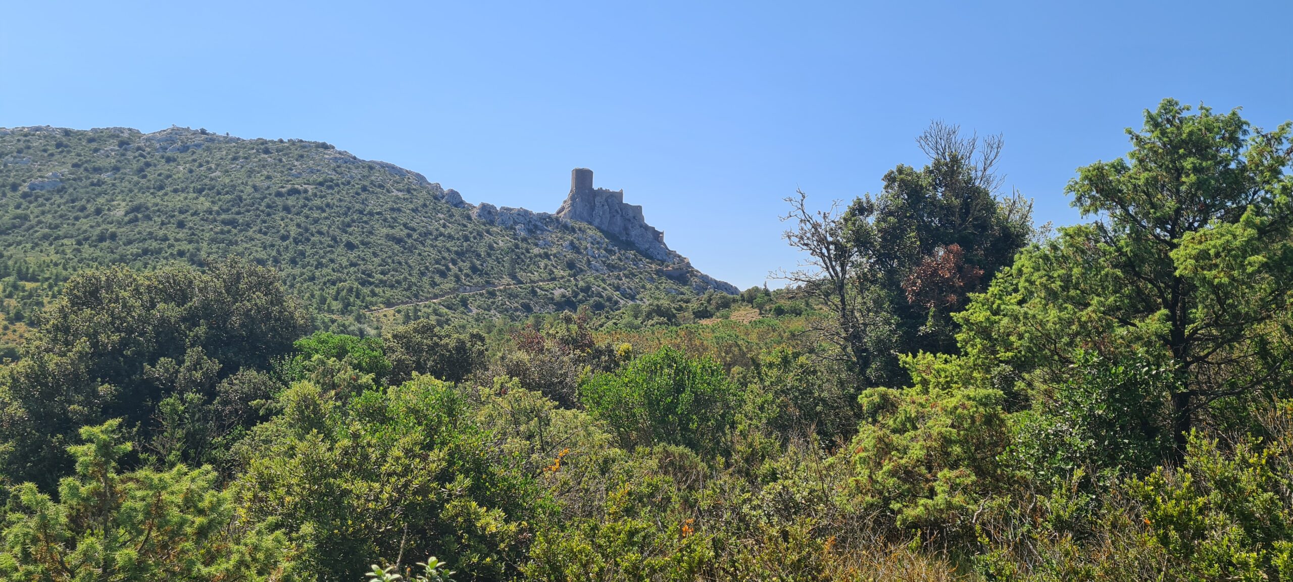
The distance to our next target is approximately 8 km. We will progress quickly through the vineyard fields for approximately 5km and cross the picturesque village of Cucugnan. Then we will begin an elevation gain of approximately 420m over the last 3 kilometers. At the exit of the scrubland and at the turn of a bend, the castle of Queribus will stand proud as a rock. Its name itself means “Boxwood Rock”. Dating from the 1020s, it will constitute one of the main Barcelona fortresses north of the Pyrenees. The castle of Queribus became a refuge for Cathar monks : Benoît de Termes, deacon then Cathar bishop of Razès, resided there in 1230 and probably died there before 1233. It is one of the last Cathar castles with the castle of Puilaurens in welcoming leaders of the Cathar Church after the fall of Montségur. Chabert de Barbaira, one of the last nobles loyal to the Cathar cause, occupied the castle and defended it until 1255, opposing Olivier de Termes, one of his former comrades.
Guardian of Grau de Maury, Quéribus is perched on a narrow rocky peak at an altitude of 728 meters and from its ramparts, the landscapes are equally breathtaking, like the neighboring fortress of Peyrepertuse. From here you can monitor the Corbières massif, Fenouillèdes and the Roussillon plain.
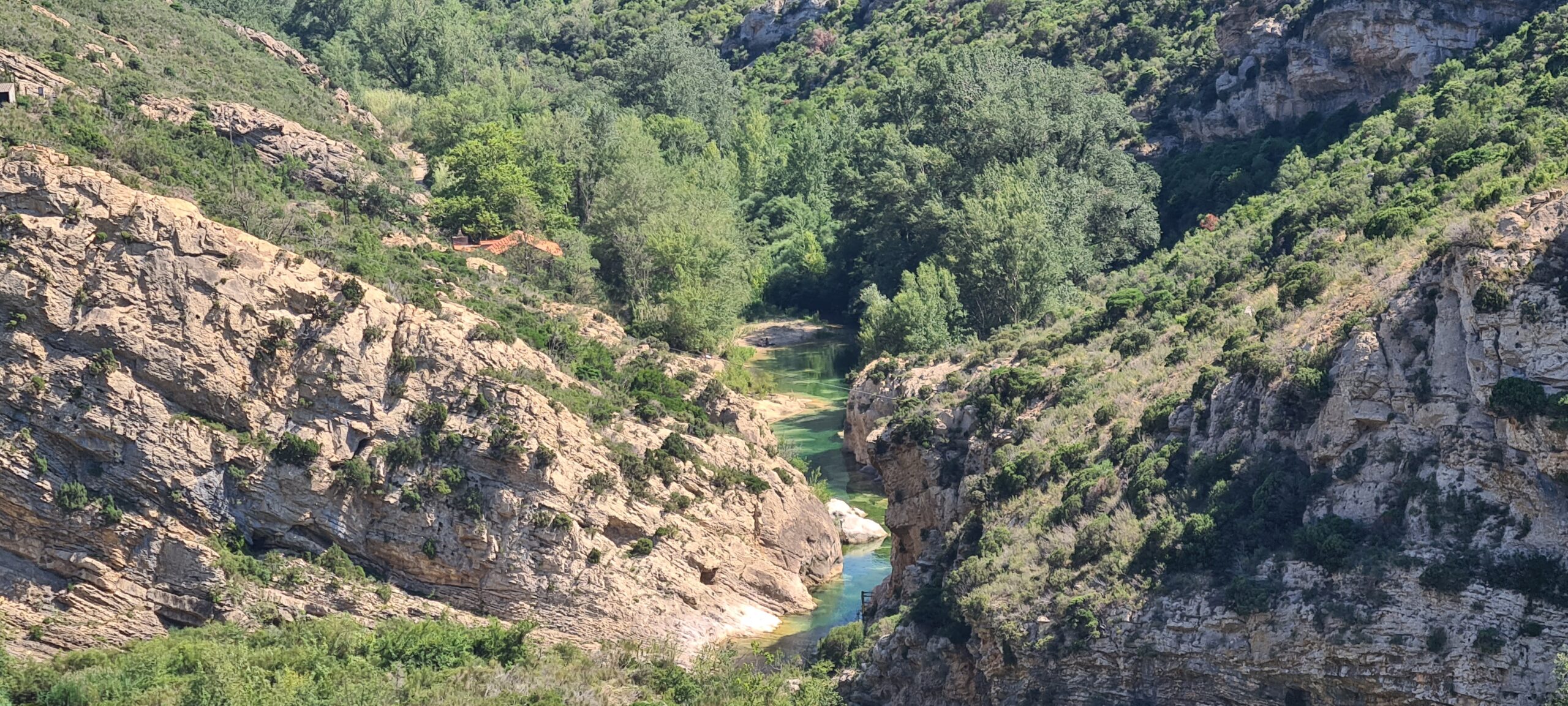
At the exit of the castle, we will take a path which will take us to a wide track in the hinterland of the Quéribus castle. We will progress through the scrubland, and pass near the ruins of the Priory of Mollet and the Château de Parden. After crossing the village of Padern, we will enter its fields and join the Grau de Padern which will in turn offer us a magnificent view of the gorges of the river Le Verdouble, which we crossed a few minutes earlier… Its green color in this limestone sandstone canyon makes it a most sumptuous landscape, you will keep a magnificent memory.
Our route will continue in the hillsides of the Corbières vineyards, a powerful and refined local wine until our final destination of the day : Tuchan.
- Accommodation : Bungalow
- All food
- 1 to 2 French-speaking, English-speaking, Russian-speaking IDTrek guides
| # | Path of the Cathars - France |
| Level of difficulty | 4/5 |
| Distance traveled | 14,29 miles |
| Cumulative elevation gain | +964 m |
| Cumulative negative elevation | -765 m |
| Nature | 5/5 |
| Culture | 5/5 |
| Meeting | 4/5 |
| Comfort | Bungalow |
| Walking time | 7 - 8 h |
Day 10 : Tuchan - Durban-Corbières
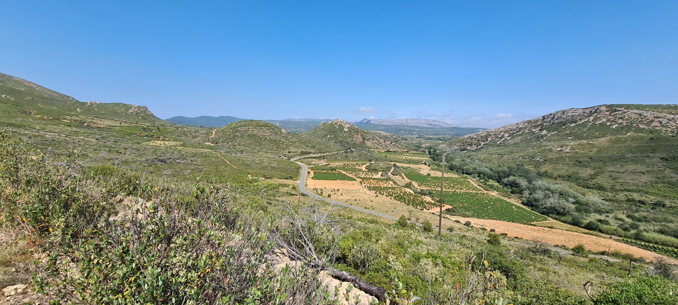
Reaching Aguilar Castle from Tuchan will be a pleasure for you after everything you have accomplished over the last 8 days. It stands on a pech, a summit called the “eagle rock”, and is surrounded by vineyards and scrubland. Located in the center of the Hautes Corbières and Mont Tauch reliefs, the castle, in contact with Roussillon, monitors this rare access to the road to Narbonne and Carcassonne.
In 1228, Aguilar became the seat of lordly power of Olivier de Termes, a powerful Occitan knight, and formerly an ally of the Trencavel (leader of the Cathar rebels during the inquisition). Indeed, in 1241, the inquisitive Crusade winning numerous battles, Olivier de Termes preferred to sign his surrender and rally around King Louis IX, he became one of his faithful knights. Military leader of Louis IX, Olivier de Termes was the architect of the defeat of the Cathars at the Château de Quéribus. In 1262, Aguilar Castle joined the line of defense of the crown of France against the Kingdom of Aragon. The castle is then modernized with the latest innovations in Philippian architecture. Part of the village was moved to strengthen the military effectiveness of the castle and its hill. Its influence will diminish with distance from the Spanish border.
After visiting the castle, we will take wide forest tracks suitable for vehicles, in a hilly setting of conifers and vines. We will pass near the Domneuve estate. A small castle and its village were established there in the year 876. As the important fortresses surrounding this small castle surrendered to the crusaders of Simon de Montfort, it is unlikely that the local lord would have sought combat with so little force. defense. This is why there is no mention of an attack against this area during the crusade against the Cathars. On the other hand, it suffered Spanish incursion attacks in the 16th and 17th centuries, which left its ruins reaching us almost 1150 years after its creation…
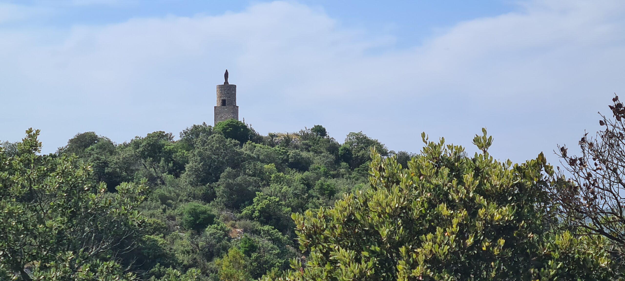
It will take us the morning to reach the village of Embres-et-Castelmaure, where a picnic table will allow us to eat and rest in the shade of a large oak before starting a long walk to the sunshine all the way to Durban-Corbières. We will again follow the hillsides of the Corbières vineyards, up to the black virgin of Réacoufa, where the longest, arduous and steep descent of the entire trek awaits us. This descent will take us directly to the village of Durban-Corbières.
- Accommodation : guesthouse
- All food
- 1 to 2 French-speaking, English-speaking, Russian-speaking IDTrek guides
| # | Path of the Cathars - France |
| Level of difficulty | 4/5 |
| Distance traveled | 16,78 miles |
| Cumulative elevation gain | +976 m |
| Cumulative negative elevation | -902 m |
| Nature | 4/5 |
| Culture | 5/5 |
| Meeting | 5/5 |
| Comfort | Ghesthouse |
| Walking time | 8 - 9 h |
Day 11 : Durban-Corbières - Port-La-Nouvelle
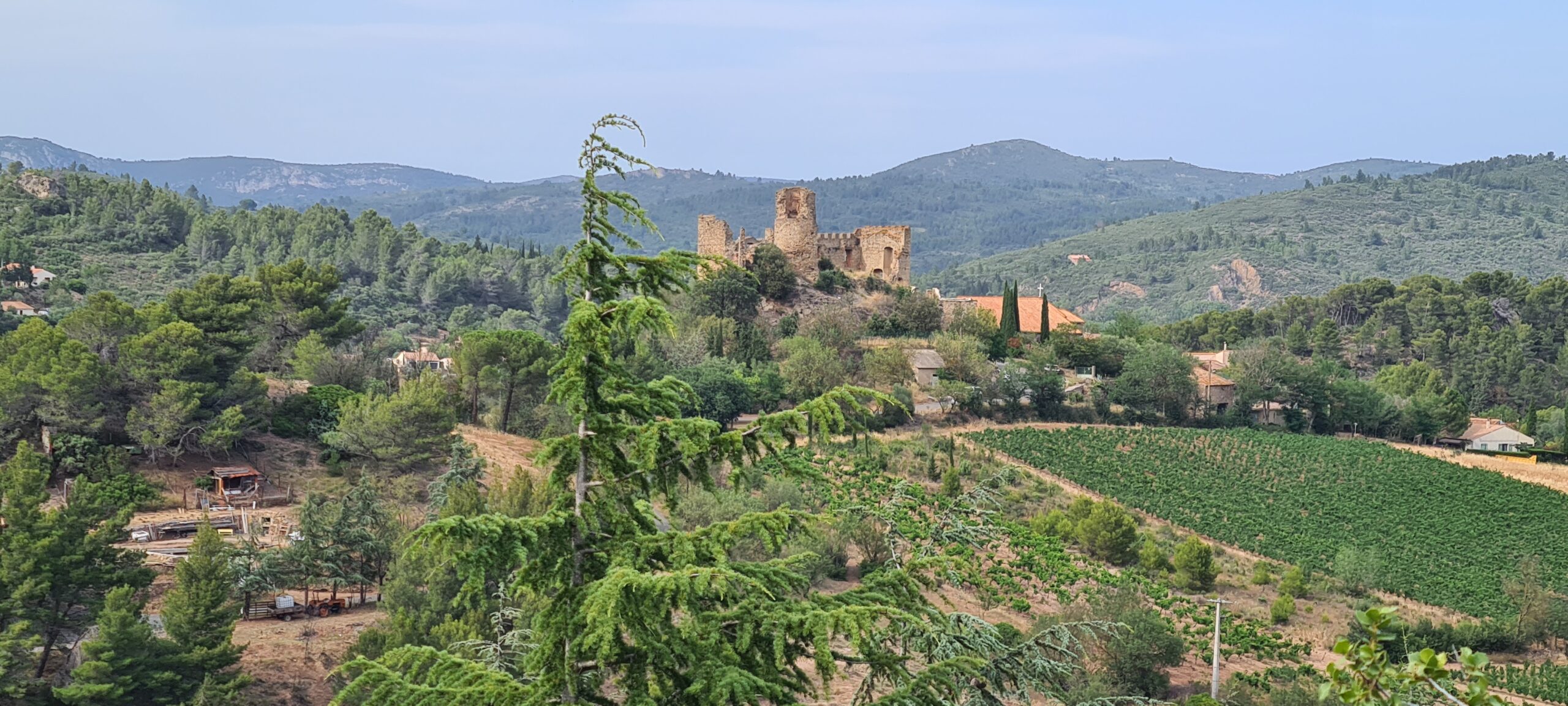
This last day will first allow us to visit the castle of Durban-Corbières. Durban Castle was owned by Bernard of Durban in the 12th century. In 1229, William of Durban swore loyalty to the King of France. The Durban family then owned the castle until 1787.
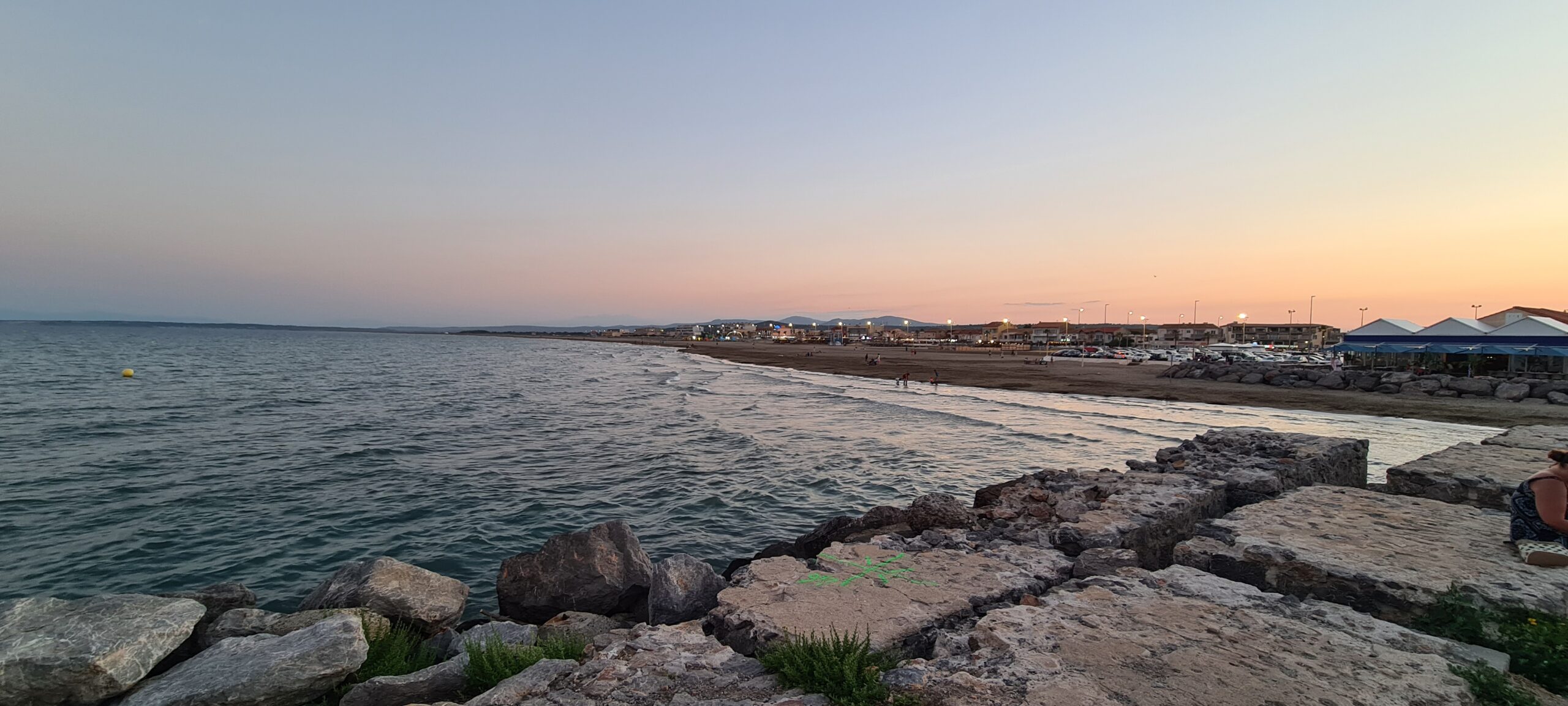
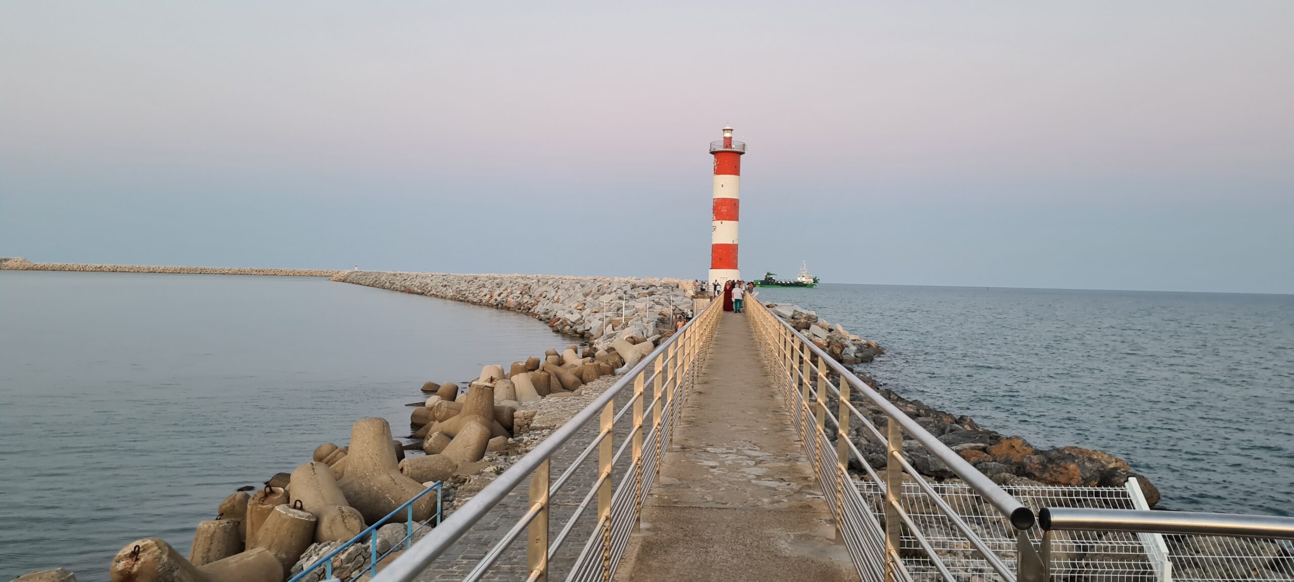
This last day of walking will not be the easiest, the uphill slopes have a slight difference in altitude, barely 142m at most, but they are frequent and relatively steep. This stage will take you to the Mediterranean shores through the scrubland from the first hillsides covered with vineyards. Your first objective will be to reach the desert plateau of Grès de la Ginestelle then come down to reach the village of Roquefort des Corbières and thus enter the Narbonnaise regional natural park where another plateau of lower altitude but just as deserted and immersed in the scrubland awaits you.
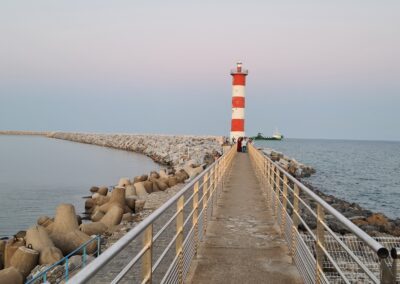
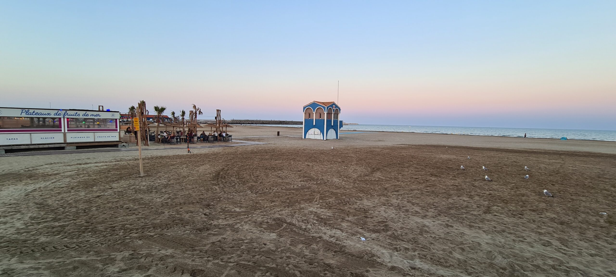
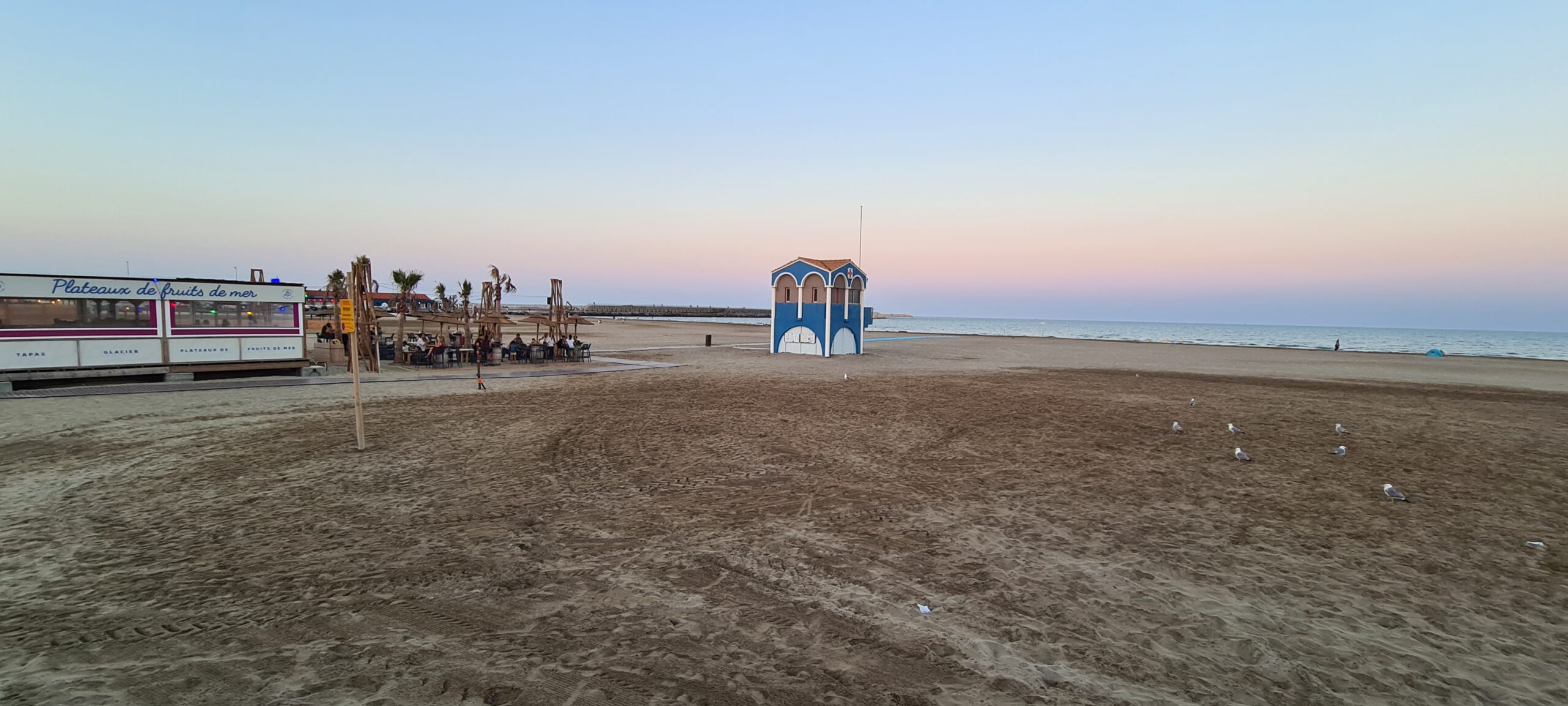
Arriving on the outskirts of the town of Port-la-nouvelle, you will only have 2.5 km left to go before throwing away your backpacks, putting on your swimsuit and diving into temperate water to cool off from this long walk. in the sun…
The day requires a good supply of water, think about it before departure. On the other hand, the panoramas and the view of the Mediterranean Sea will amaze and encourage you because you now know that your journey is coming to an end and that you only have a few kilometers left to complete it in its entirety… you you have fulfilled your mission and escaped the inquisition, like our brave heroes of Montségur, who fled to Italy, and who knows you too with a treasure, that of wonderful memories…
- Accommodation: Hotel
- All food except evening
- 1 to 2 French-speaking, English-speaking, Russian-speaking IDTrek guides
| # | Path of the Cathars - France |
| Level of difficulty | 4/5 |
| Distance traveled | 24,23 miles |
| Cumulative elevation gain | +700 m |
| Cumulative negative elevation | -609 m |
| Nature | 4/5 |
| Culture | 1/5 |
| Meeting | 3/5 |
| Comfort | Hotel |
| Walking time | 7 - 8h |
Day 12 : Port-La-Nouvelle - Carcassonne Airport
Our adventure in the Cathar Country ends, and it is time for you to return to modern times, full of memories, stories and legends to tell your loved ones. We will accompany you to the airport mid-morning, giving you time to enjoy your breakfast, prepare your things and enjoy a last morning stroll by the sea. Departure will depend on the first scheduled flight. If all flights are at the end of the day, you will be able to take advantage of the full morning.
- Transfer to Carcassonne Occitanie airport
- 1 to 2 French-speaking, English-speaking, Russian-speaking IDTrek guides
- Transport time: 1 hour
| # | Path of the Cathars - France |
| Nature | 3/5 |
| Culture | 1/5 |
| Meeting | 3/5 |
| Transportation time | 1h00 52,81 miles |
Included
- Day 1 - Transfer from Carcassone Occitanie airport to Carcassone
- Day 2 - Transfer from Carcassone to Foix
- Day 12 - Transfer from Port-la-Nouvelle to Carcassone Occitanie airport in Carcassone
- Van type vehicle for transport with driver
- Day 1 - 3* Hotel (Hotel Montmorency & Spa or similar) in Carcassonne with Wi-Fi connection (Night stay + breakfast)
- Day 2 - Roquefixade stopover accommodation with half board (Night + dinner + Breakfast)
- Day 3 - Rooms and guest table : The house under the Castle in Montségur with half-board (Night + dinner + Breakfast)
- Day 4 - Camping du lac Fontclaire 3* in Puivert - in tent or bungalow depending on availability (Night)
- Day 5 - 3* Hotel (La Chaumière or similar) in Quillan with Wi-Fi connection (Night + breakfast)
- Day 6 - Gite de La Maison de la Nature in Bugarach (Night + breakfast)
- Day 7 - Rooms and guest table: The Wellness Stopover in Camps-Sur-Agly (or similar)(Night stay + breakfast)
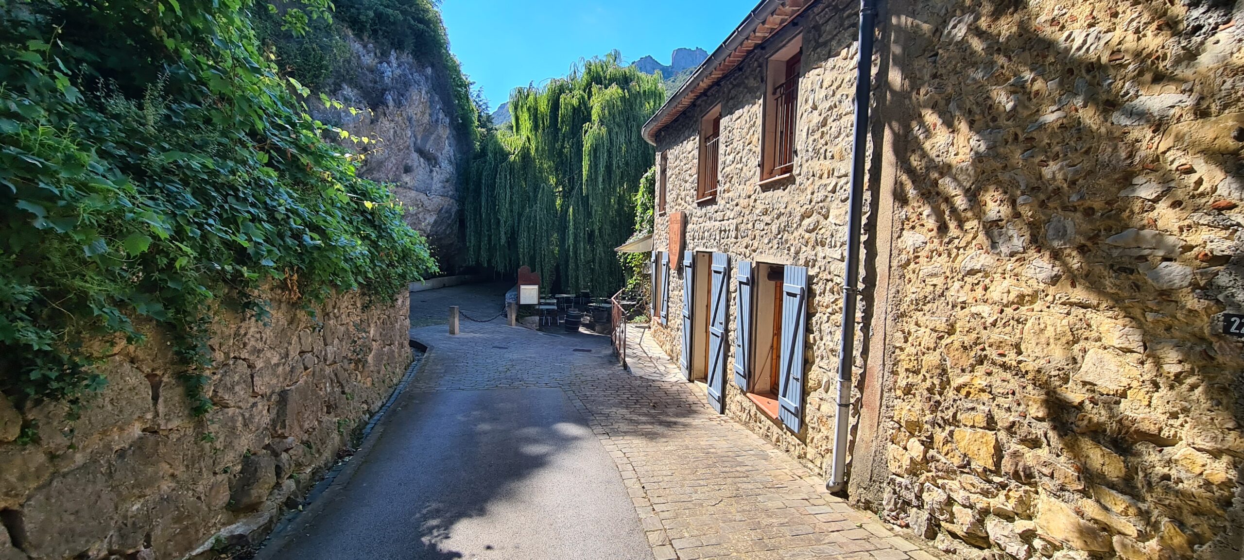
- Day 8 - Hostellerie du Vieux Moulin in Duilhac-sous-Peyrepertuse (Night stay + breakfast)
- Day 9 - 2* campsite Relais d’Aguilar in Tuchan with half-board (Night + dinner + Breakfast)
- Day 10 - Rooms and guest table: Chez Lola or similar in Corbières with half-board (Night + dinner + Breakfast)
- Day 11 - 3* Hotel (Logis Hôtel Mediterranee or similar) in Port-La-Nouvelle with Wi-Fi connection (Night + breakfast)
- Dormitory accommodation in lodges.
- Accommodation in hotels in twin/double or triple rooms
- Accommodation in a bungalow for 2 to 4 people or tents for 2 people (sleeping bag and mattress not included)
- Possibility of transporting your luggage from accommodation to accommodation with supplement from 150€ / person (depending on number of participants)
- Services of 1 French, English and Russian speaking IDTrek guide
- Accommodation and board for guides, drivers and guides
- A collective first aid kit
- Drinking water (2L) per person per day
- Picnic included * 10 days
- Breakfast of day 4 in a café terrace
- Day 4 tent for 2 people
- If you wish to visit the country castles, please tell us which ones you wish to visit before departure (a supplement will be applied depending on the number of castles chosen)
Not Included
- International and national flight: Plane tickets for France and Carcassone airport
- Accommodation before/after the trek as well as transfers in case of arrival before and departure after the fixed date
- Lunch of day 1
- Meals in restaurants including days 1, 4, 5, 6, 7 and 11
- Single room (additional charge on request and subject to availability)
- Sleeping bag and mattress not included
- Entrance fees for visiting the castles - (the castles of Carcassone 11€ / Puiverts 19€ / Cubières sur Cignoble 7€ / Peyrepertusse 8€ / Quéribus 8€ / Aguilar 4€ are payable - supplement of 60€ for the whole thing)
- Other personal expenses
- Tips
- Repatriation insurance accident/medical insurance health insurance/insurance against theft of equipment and personal effects
- For adventure-type trips, with high mountains, trekking or other adventure sports: insurance covering possible rescue costs. Cancellation insurance.
Terms and conditions
Please make sure you have read the terms and conditions of sale by clicking here. In particular, they define cancellation conditions, payment methods, visa requirements and insurance.
Take out IDTrek travel insurance with our partner by clicking here.
Applications for participation are accepted until 08/27. The minimum quantity to confirm the group is a minimum of 2 people, and a maximum of 8 people.
If you arrive in Carcassonne by car, or if you wish to organize your arrival before and after the trek, please let us know.
Notes and instructions :
Equipment :
- Each participant travels with a backpack of 60 liters maximum (camera, picnic, trekking and protective clothing, water and personal utensils, sleeping bag and mattress, personal medication, flashlight, etc.).
- If the baggage transport option has been chosen, equipment and large backpacks are transported from site to site. A small backpack is then only necessary for the day (camera, picnic, protective clothing, water and personal utensils, etc.).
- Some accommodations have swimming pools, you can bring a swimsuit if you wish.
Wild animals :
It is because they are wild that they are wonderful and we want to see them, however strict rules must be followed when dealing with a wild animal. It should be noted that coming across them will be extremely rare, they prefer not to meet humans but around a rock chance can do things. As a reminder, Patous (shepherd dogs) are not stuffed animals, they protect the herds, you must stay at a distance, calm and not move towards the herds.
Accommodations :
All the accommodation is of high quality and offers sheets, but the campsites may ask for a supplement, a sleeping bag and a mattress is necessary for day 4.
Relaxation at camp :
he guides will teach you “Dutsch” and “Dyrak”, two card games that are played while traveling, and which are very communicative, it is a bridge between travelers to get to know each other.
Altitude sickness… :
- has nothing to do with your age ;
- nor with your physical condition ;
- just because you didn’t have it on a first trip to altitude doesn’t mean you never will ;
- your state of stress and fatigue, all this added to the jet lag are preponderant factors.
Take the time to do things calmly.
- Duration
12 days - Period
May-October - Type
Culture,Nature - Landscape
City,Forest,Mountain,Sea - Difficulty
Average - Group
2 - 8 people
per person
Request more information
- Duration
12 days - Type
Culture,Nature - Difficulty
Average
- Periode
May-October - Landscape
City,Forest,Mountain,Sea - Group
2 - 8 people
per person

