Southern Armenia – From Khor Virap to Goris
Description
Itinerary
Conditions
Photos
Practical information
Southern Armenia is very rich in history and this route will be a guaranteed change of scenery. We have enriched this route with historical places but also real natural gems, and to complete your trip, we have added a touch of gastronomy by introducing you to the wines of the Ararat region.
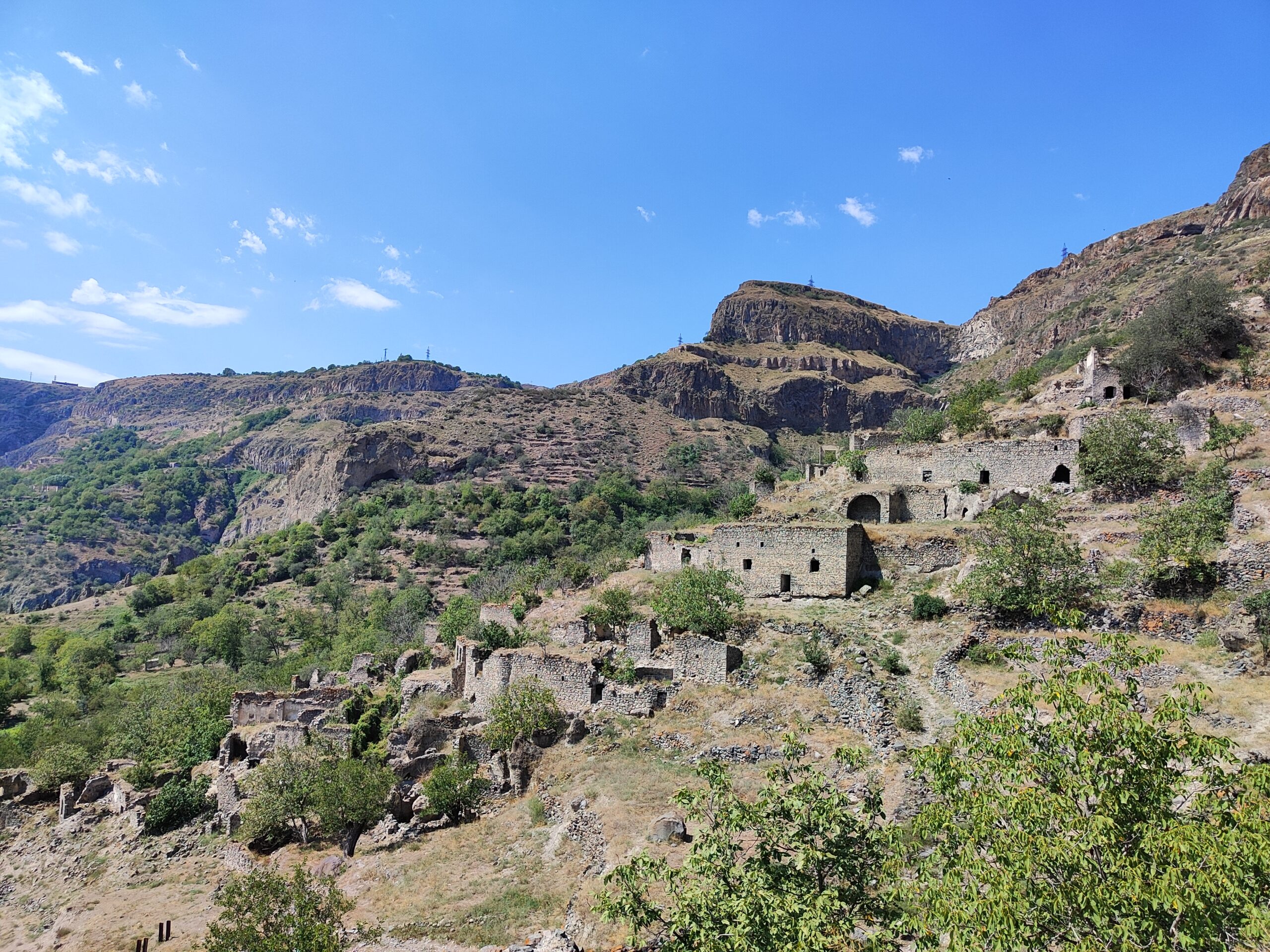
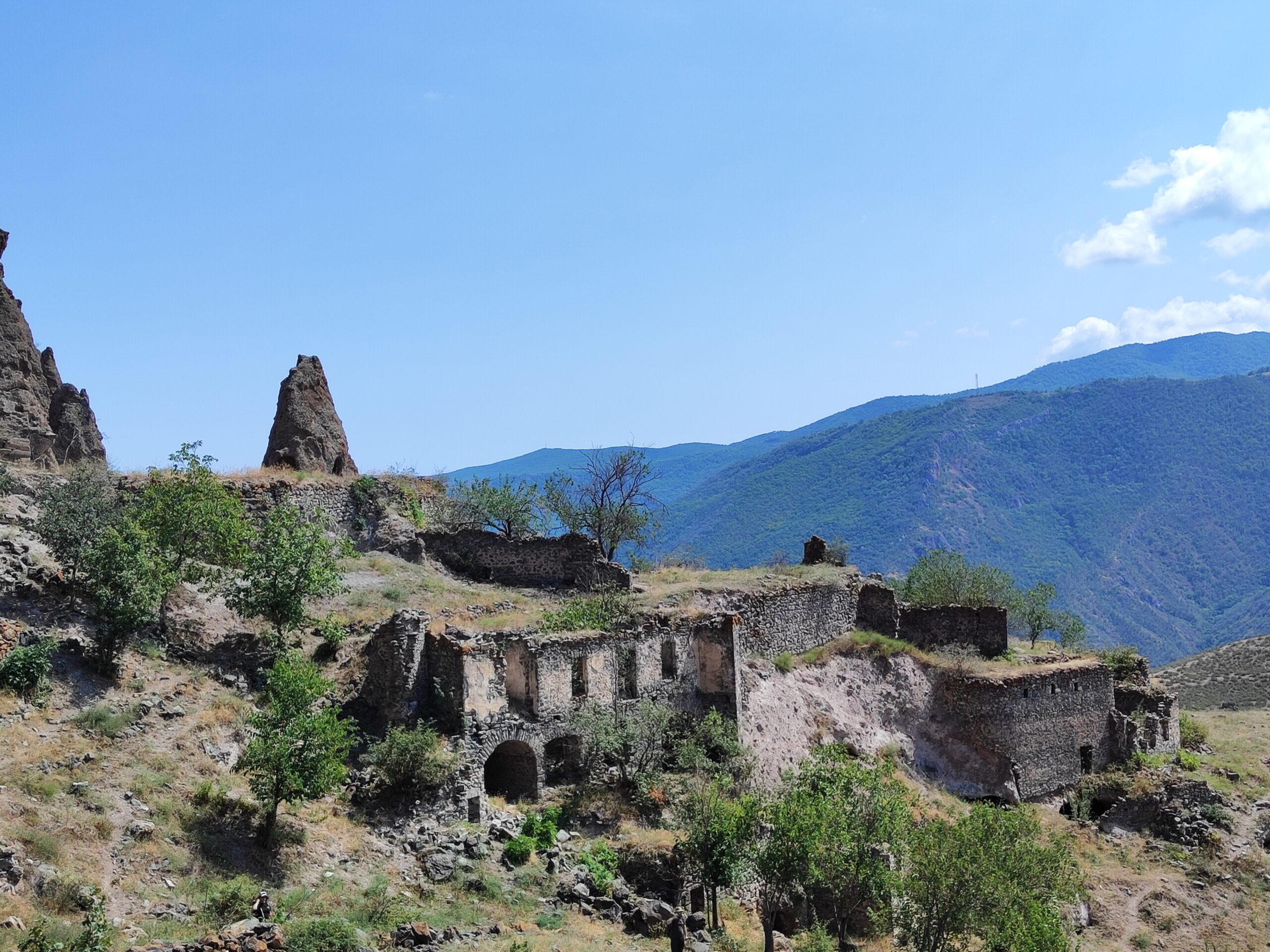
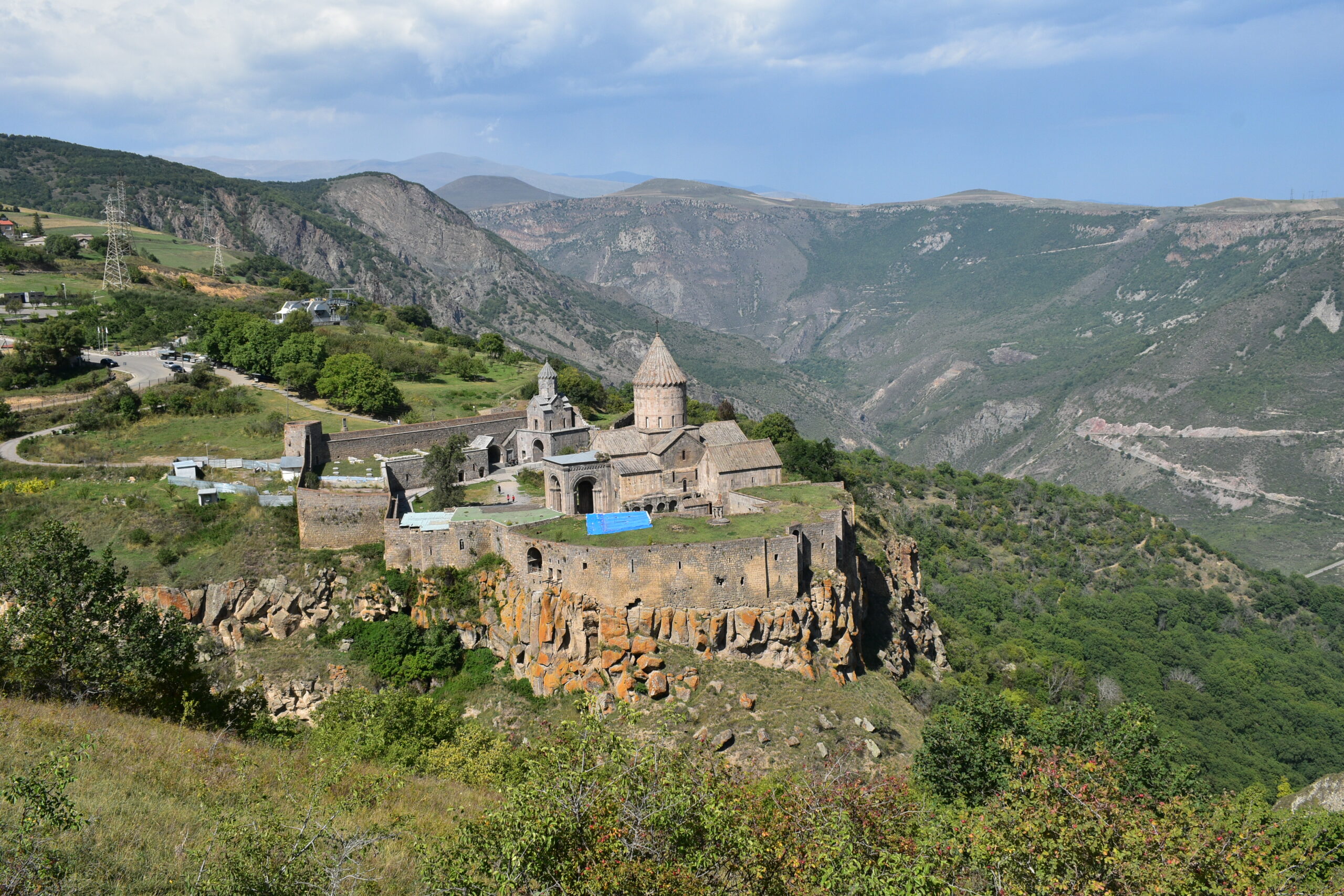
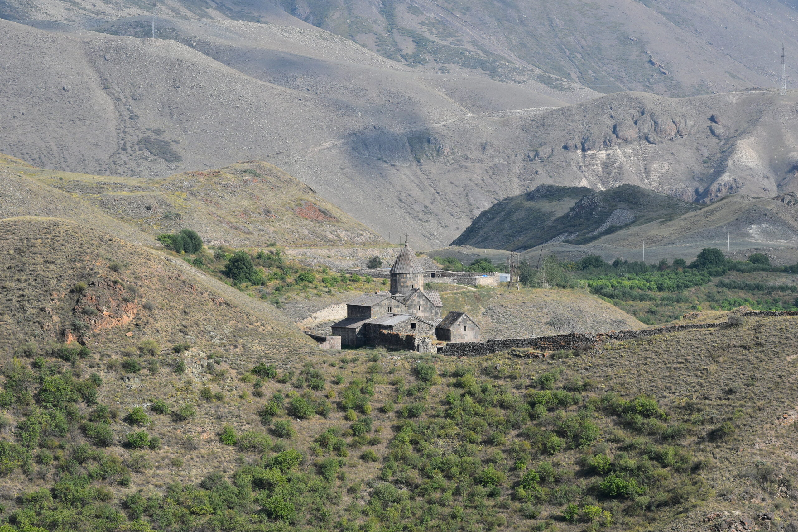
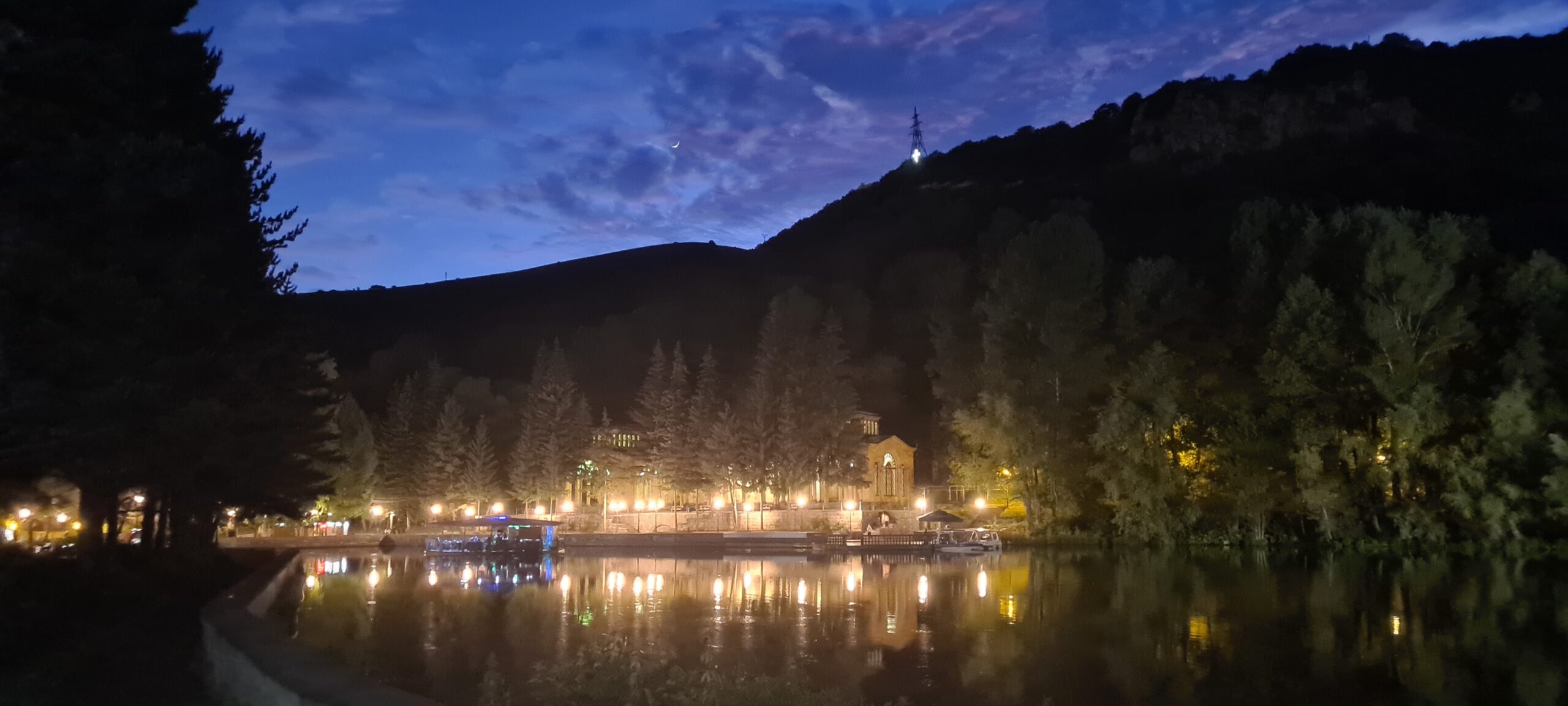
We will visit many very characteristic monasteries of Armenia, including that of Khor Virap, famous for its view of Mount Ararat, or that of Tatev. By reaching the Vayots Dzor region, we will cross the Gnishik and Dragon canyons. In the latter, you can refresh yourself because the trek includes a canyoning section. By reaching Djermouk, you will observe volcanic organs and small geysers in which you can recharge your batteries by taking a mineral bath. We will then follow the Spandaryan reservoir in the Syunik region to reach the town of Sissian where one of the most ancient places in Armenia is located: Zorats Karer Carahunge; the Armenian Stonehenge. Continuing further south, we will reach the Tatev monastery and after a moment of relaxation in a natural aquatic complex made up of water basins, we will head towards the villages of Old Halidzor, Old Shinuhayr and Old Khot. These villages are abandoned historical sites. Built on terraces and on the mountainside, they are reminiscent of the Peruvian site of Machu Picchu, but their history begins at the time of the Kingdom of Armenia with the presence of troglodytes until the post-Soviet years. Finally, you will reach the town of Goris, where you will have the impression of walking in Cappadocia among the geological formations sculpted by wind erosion and also by man who built troglodytes there as well.
You will have understood, this trip is a summary of what man and nature can accomplish: a mixture of Cappadocia, Machu Picchu, Stonehenge and Grand Canyon, all in one country: Armenia. It is very varied from a geology, landscape, environment and culture point of view, which is why you will keep a memorable memory.
This trek mainly takes place in areas not covered with vegetation. Remember to protect yourself against the sun, rain or wind.
The guide is English-speaking, but the IDTrek guides will be able to translate the various information into French or Russian for you.
Levels of difficulty


Difficulty levels are graded from 1 (easy) to 5 (hard), and a full description can be found here.
| # | Southern Armenia – From Khor Virap to Goris |
| Level of difficulty | 4/5 |
| Distance traveled | 123 miles |
| Cumulative elevation gain | +7268 m |
| Cumulative negative elevation | -7854 m |
| Nature | 5/5 |
| Culture | 5/5 |
| Meeting | 3/5 |
| Minimum Age Recommended | 15 years |
| Comfort | Tent + Hotel |
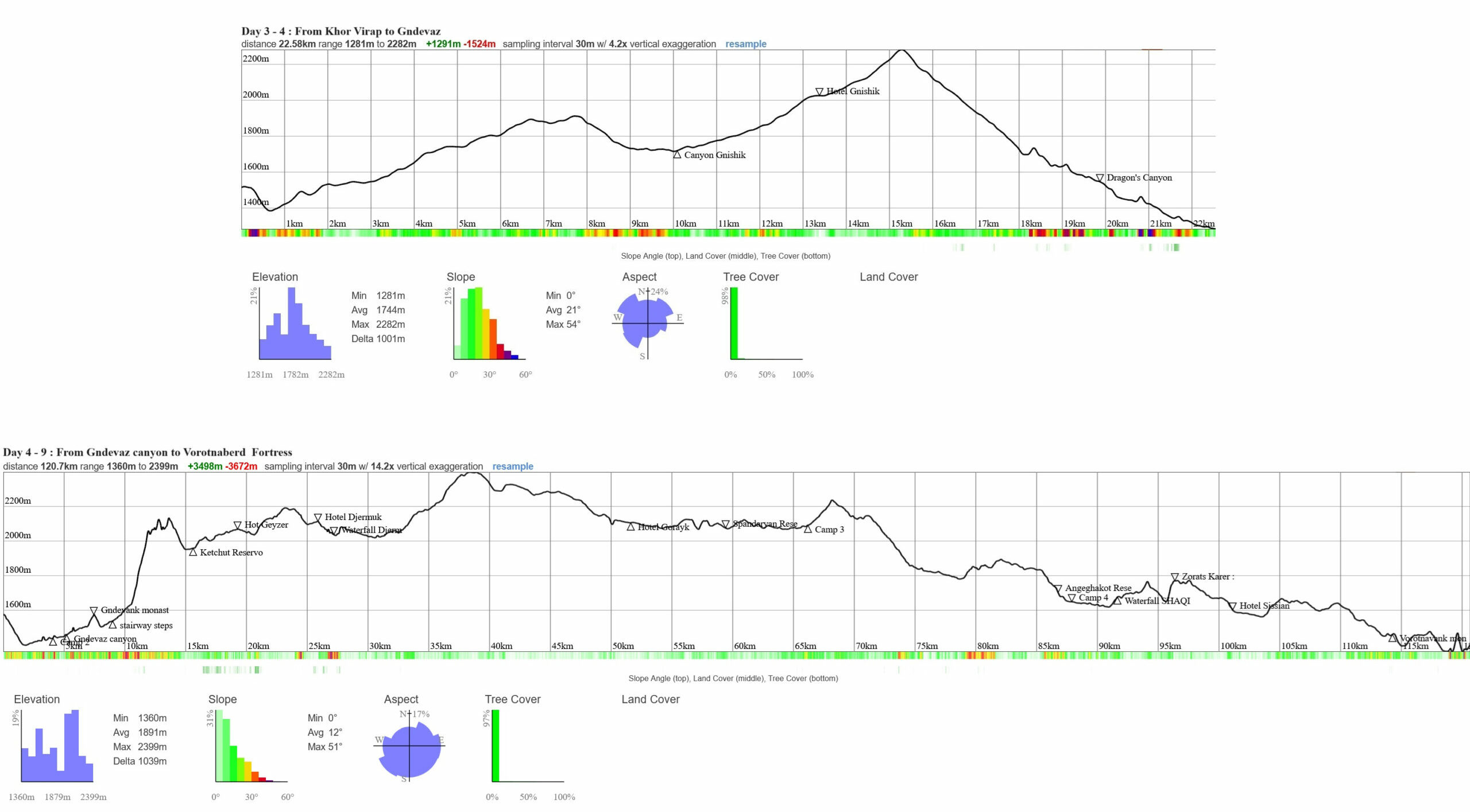
Armenia South Caucasian Trail Day 3 to 9
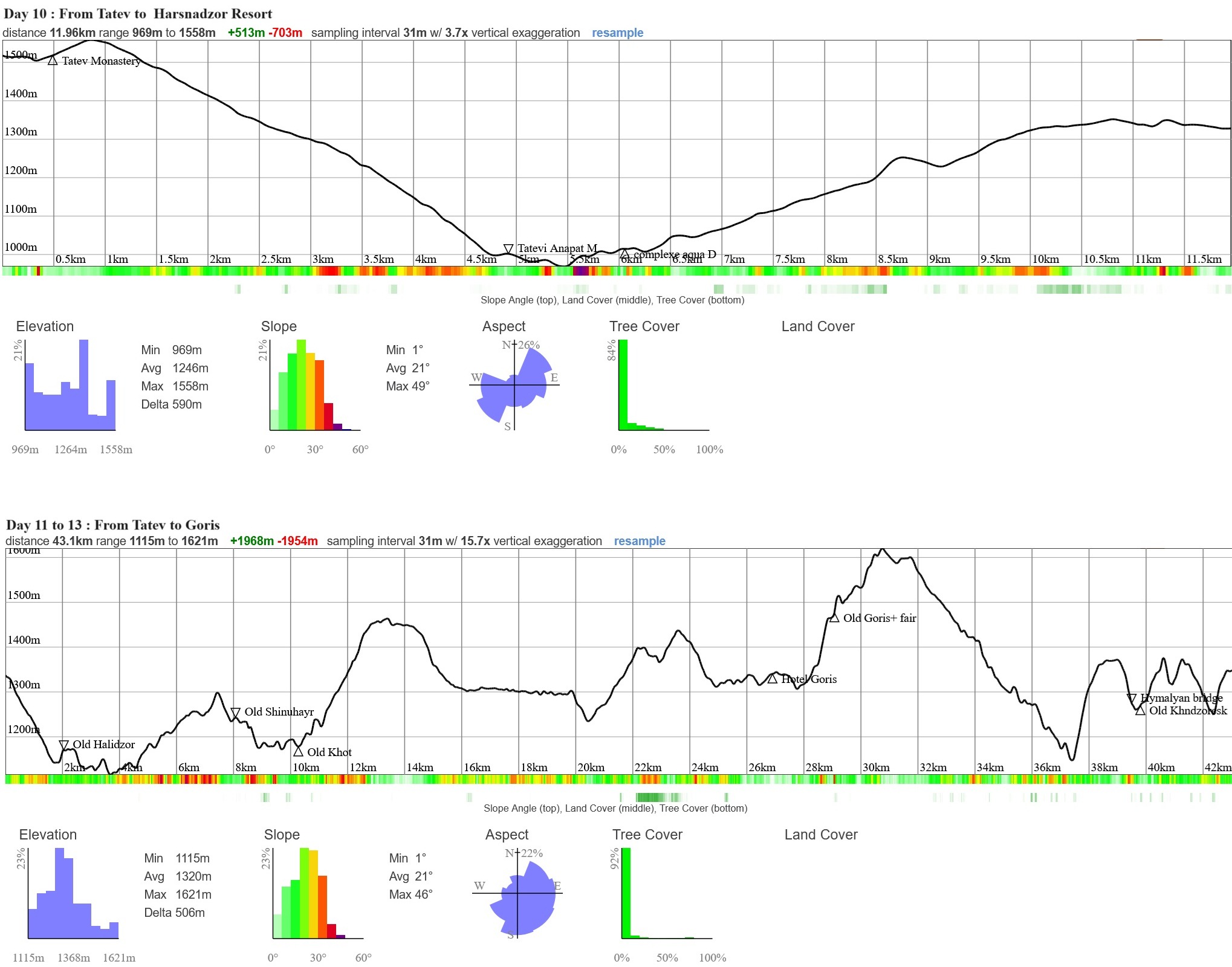
Armenia South Caucasian Trail Day 10 to 13
Day 1 : Meeting, transfer and first discoveries
Our team will pick you up from Yerevan airport, depending on your arrival in Armenia, and drop you off at the hotel.
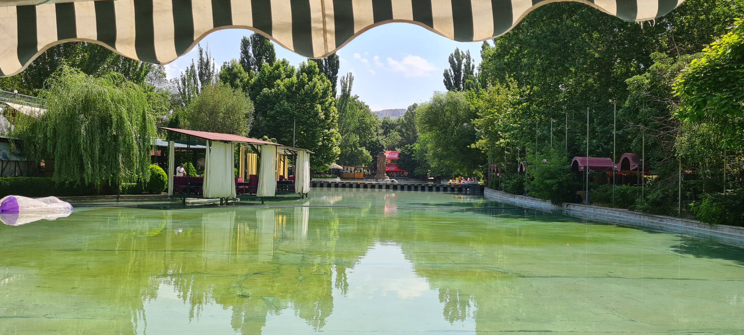
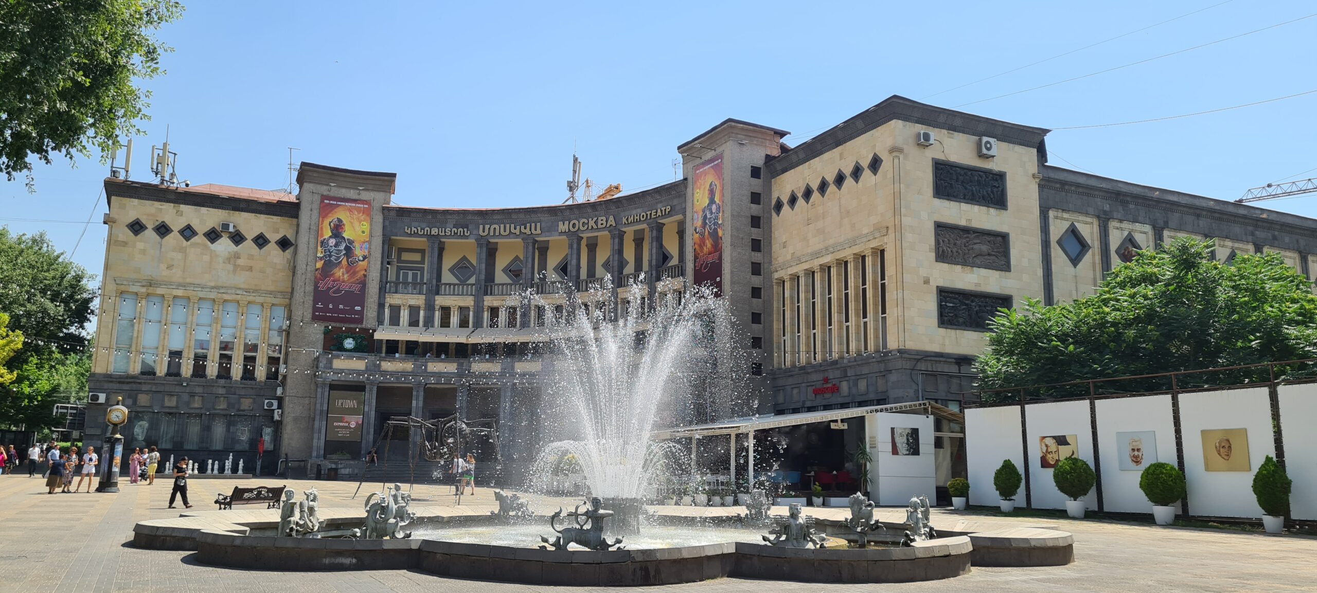
This day is free, you can stroll around town and discover the capital of Armenia, its museums, its lively squares and its various parks and markets. We can also offer you a guided tour of Yerevan by our team if you wish, in this case let us know when you request.
In the evening: the meal will be shared which will allow us to introduce the guides and guides to you. It’s also a time for participants to meet, don’t hesitate to take advantage of the evening to get to know your co-travelers.
- Night in hotel in Yerevan
| # | Southern Armenia - From Khor Virap to Goris |
| Nature | 1 |
| Culture | 5 |
| Meeting | 5 |
| Comfort | Hotel |
| Transportation time | 20 to 30 minutes from the airport |
| Walking time | According to your desires for the day |
Day 2 : Discovery of Armenian wines and their origins, development of Christianity and caving
After breakfast, we gather at the foot of the hotel to go to the largest square in Yerevan: Republic Square. Meet around 8:00 a.m.
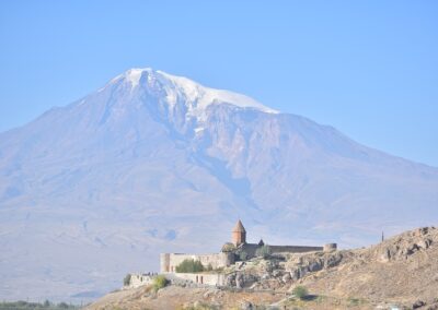
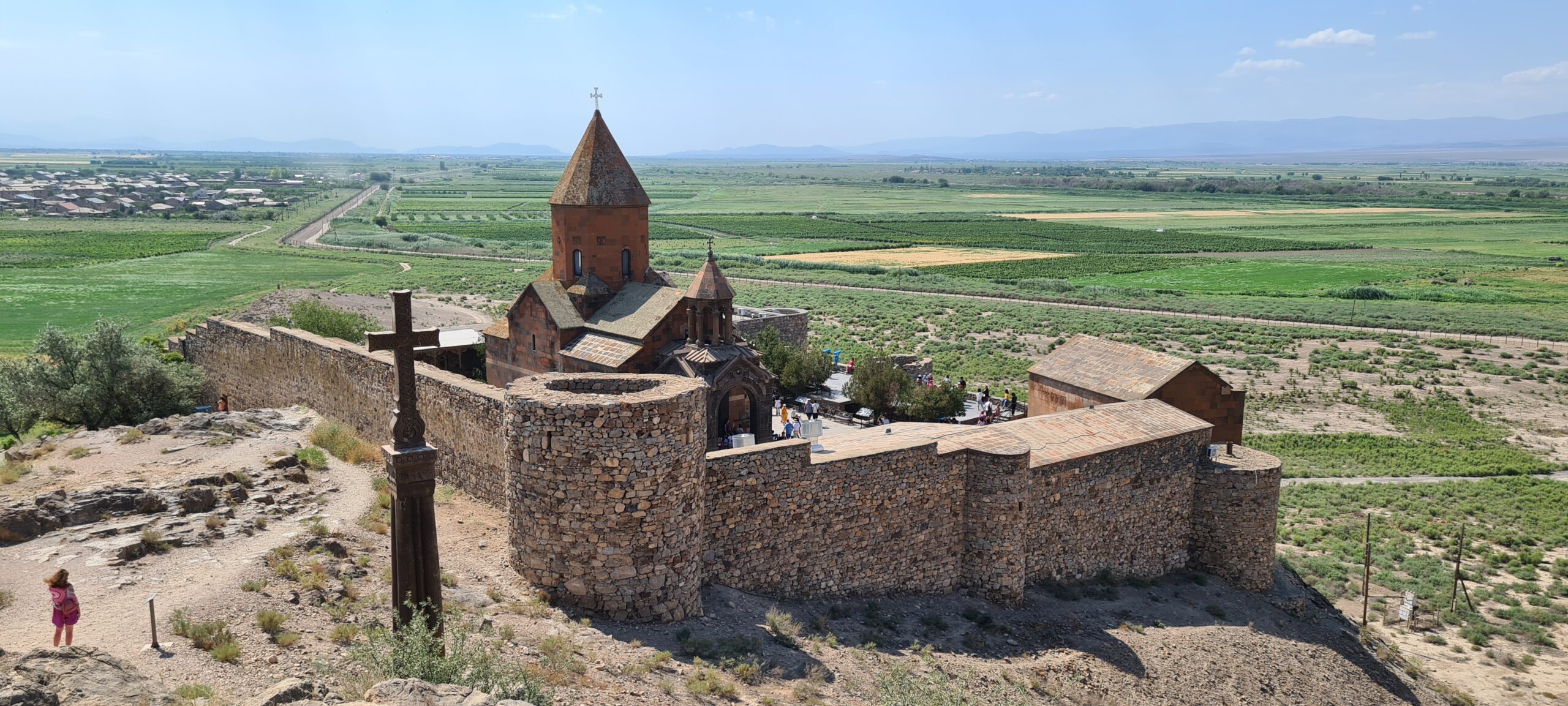
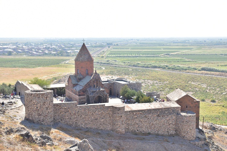
This day will be very pleasant and focused on discovering the history of the country before starting serious things, we acclimatize to the heat by doing a little sightseeing in order to immerse ourselves in the culture of the country , dividing into the transport vehicles that will take us to the Khor Virap monastery. This monastery is the first holy place in Christian Armenia. It is located on the site of the ancient capital of ancient Armenia, Artashat. Nicknamed Gregory’s Prison (khor Virap means Deep Well), because Gregory the Illuminator (real name: Saint Grigor Lusavorich) was thrown into oblivion there (Virap). It was by saving King Tiridates IV of Armenia from an incurable illness, who was nevertheless persecuting Christians in the 4th century, that Gregory the Illuminator was able to convert the king to Christianity and Armenia then became the first Christian country . It is a real dive into the history of Armenia which will allow you to become aware of the interest of the country. You can take the time to visit it and observe Mount Ararat.
Then we will head to the Hin Areni vineyard and estate where you can try one of the best wines of the Caucasus region. The two ancestral grape varieties are Voskéhat blanc and Areni Noir which have never undergone grafting. The Areni grape variety is one of the most beautiful symbols of heritage viticulture whose origins are lost in the mists of time. The harvest is still done manually. For millennia, this grape variety has survived the severe climatic conditions of a high altitude region (1250m) by developing its character thanks to the region’s sedimentary and volcanic soils. The contrast between the climatic conditions and the soil is extraordinary and gives all the elegance to this wine. And thanks to its climate and its closure to the world it has never experienced phylloxera. Winegrowers have combined these historical traditions with the most modern winemaking equipment. We will make a meal stop there to extend the tasting.
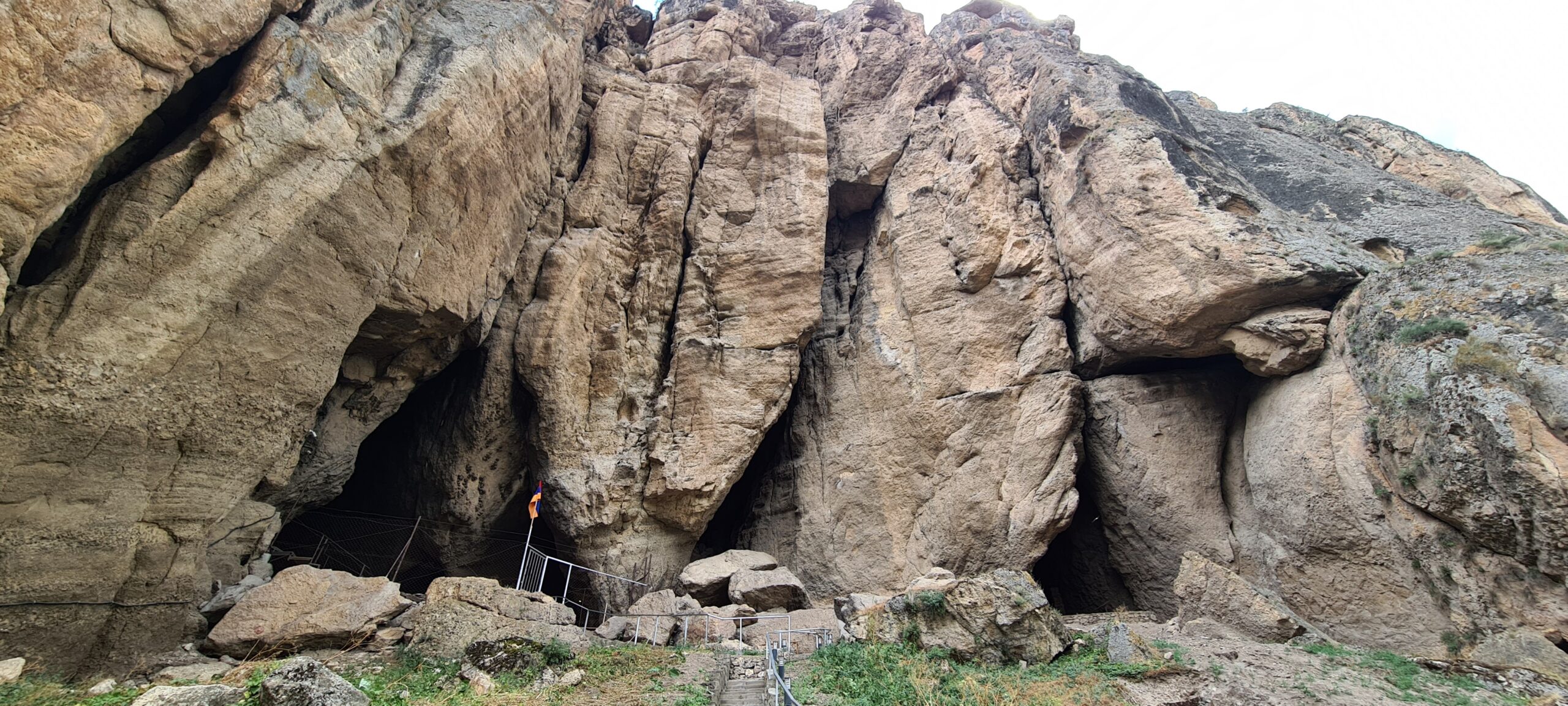
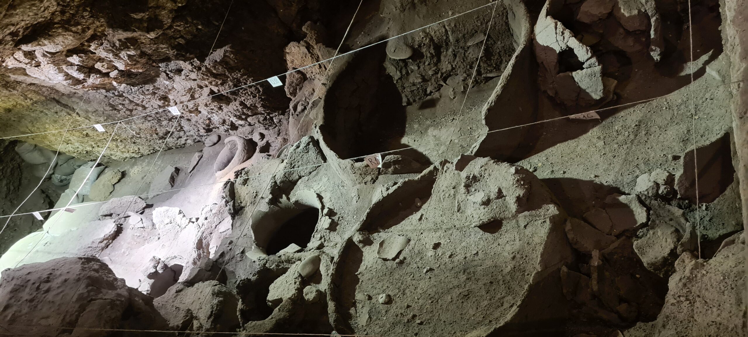
We will then spend the afternoon in the cool, starting with a visit to the Areni Cave or “Bird Cave”. It is in this cave inhabited by man that objects dating from the Neolithic period were discovered, such as the famous Areni-1 shoe, 5,500 years old and among the oldest known to date. A few hundred years older than that of Ötzi, a prehistoric mummy found in the Alps. In 2011, archaeologists also found a cellar and a press used for winemaking and approximately 6,100 years old. This is when you will understand the quality of the wine you tasted earlier in the day. It is in fact the first wine estate in the world, which gives it unrivaled experience.
We will continue our journey for a few kilometers to reach Magellan’s Cave. Magellan’s Cave is the second largest in Armenia. With a total length of 1,700 meters, this cave will offer you a more adventurous route which extends over 350 meters, and which includes rooms inside which you can discover astonishing natural formations all in a unique setting. enhanced by the play of lights transporting you into a magical atmosphere.
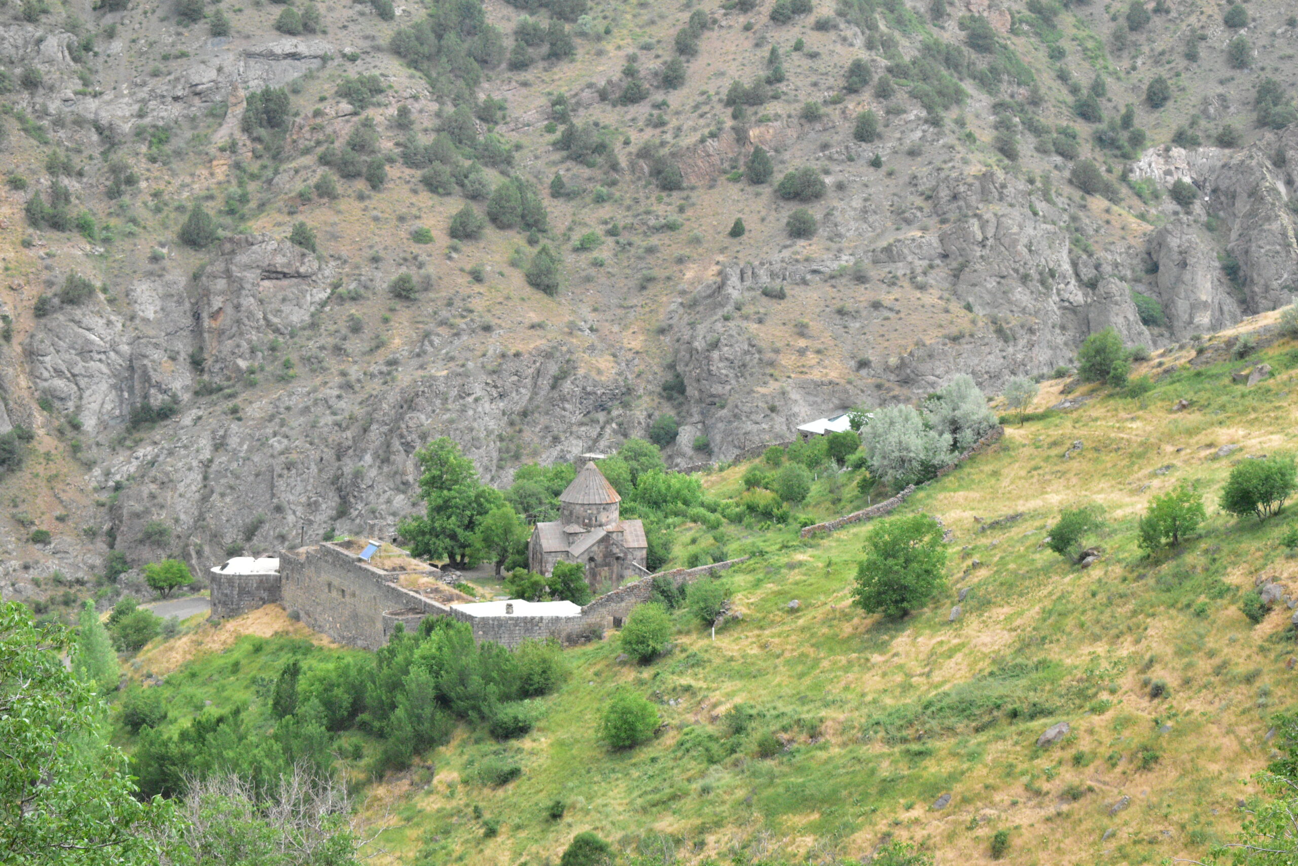
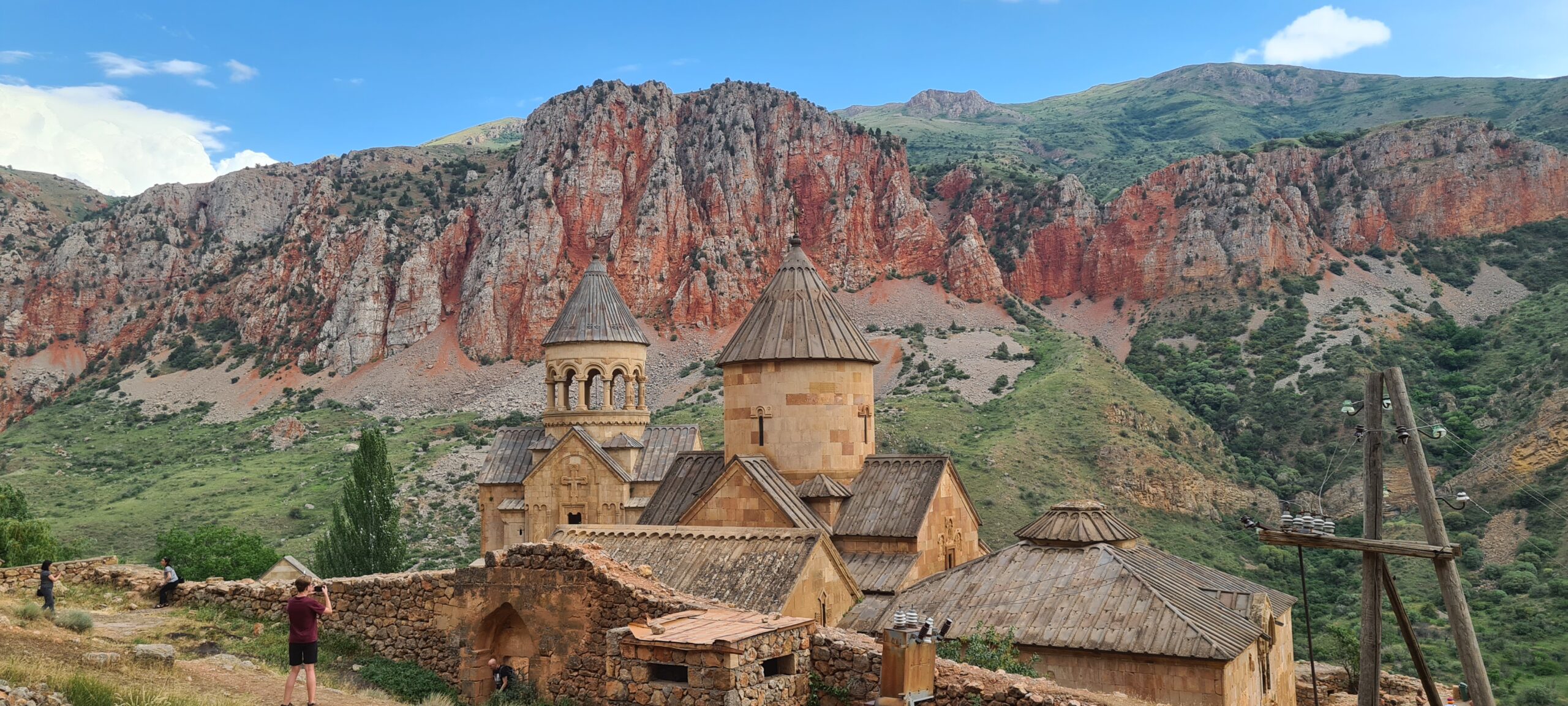
We will end the day at the Noravank monastery, remarkable both for its architecture and its environment. Probably located on a sacred site and dated from the 12th century, the monastery was built on the territory of two earlier churches.
Our camp will be set up near the monastery. The sunsets in this place are particularly sumptuous, we invite you to let yourself be carried away by the grace of the moment before going to bed peacefully.
Please note :
People suffering from claustrophobia, asthma, epilepsy and other life-threatening health conditions in confined spaces are not permitted to participate in the Magellan’s Cave tour. An alternative route will be offered to you if you suffer from these health problems. Participants should have: Comfortable sports clothing (may get dirty or torn) Athletic or military shoes Additional clothing and shoes.
- Accommodation : Tent
- Transfers to Novarank Monastery
- English-speaking guide
- Breakfast and evening meal
- 2 French-speaking, English-speaking, Russian-speaking IDTrek guides
- Transport time : 2h12
| # | Southern Armenia - From Khor Virap to Goris |
| Level of difficulty | 1 - except for Magellan's Cave : 4 |
| Distance traveled | approximately 3,11 miles |
| Nature | 5 |
| Culture | 5 |
| Meeting | 3 |
| Comfort | Tent |
| Transportation time | 2h20 - 79 miles |
Day 3 : From Noravank Monastery to Gnishik
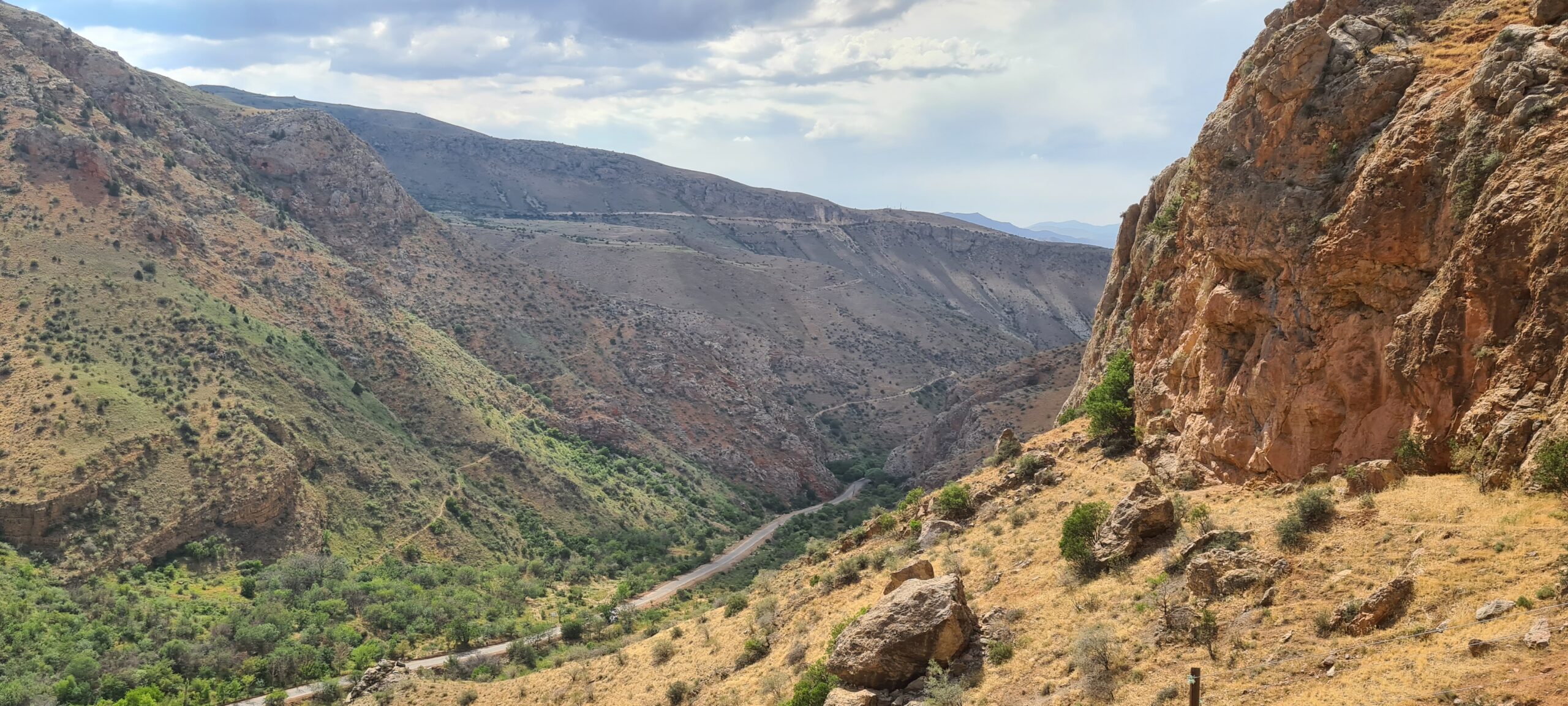
Now that you know the history of Armenia better, we will be able to start discovering its landscapes and fauna by walking. The Noravank monastery is the start of a trail which is part of the Transcaucasian trail which leads to the village of Gnishik passing through an oasis for butterflies and bears. So we will start by descending into the Gnishik Canyon and get ready to admire spectacular views of the cliffs, where you will see interesting rock formations and caves built into the heart of the canyon!
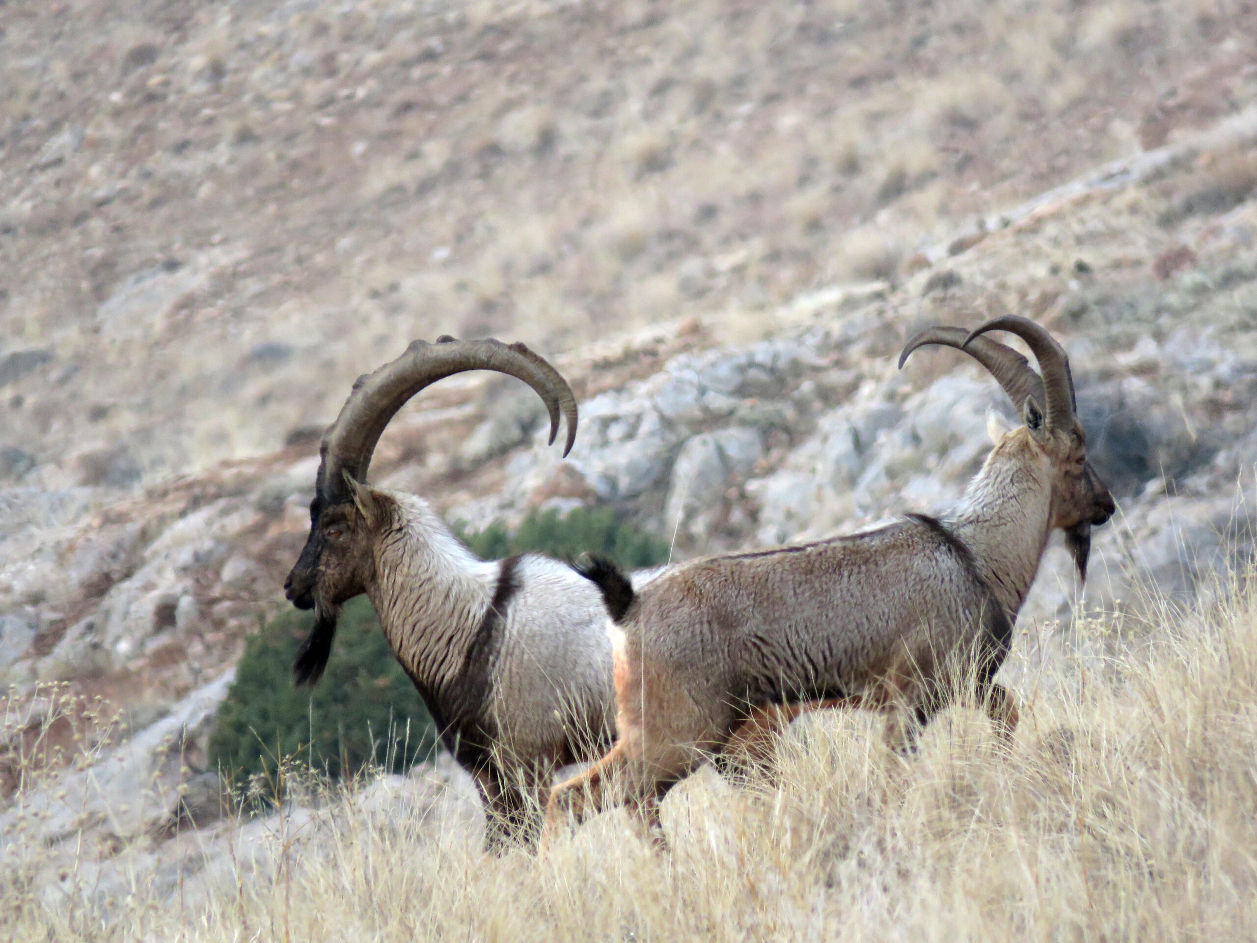
This canyon is part of the “Arpa Protected Landscape”, which is home to nearly 900 plant species and more than 500 animal species, such as the majestic bezoar ibex, a species of goat indigenous to Armenia. Try to spot one during your hike! The Arpa Environmental Foundation, which manages the reserve, has placed information panels about wildlife along the trail, if you want to find out more.
This 5 – 6 hour trail is one of four trails in the “Arpa Protected Landscape”, along with the Chukar Trail, the Bezoar Goat Trail and, of course, the Noravank Trail.
Please note :
Particular attention to the guides’ instructions is necessary, they will be given to you before leaving, you should know that bears are known to visit this region, and that they sometimes use the trail itself. It is important to respect their environment and their quality of life. Do not approach them and remain vigilant.
- Accommodation : Tent
- English-speaking guide
- All food
- 2 French-speaking, English-speaking, Russian-speaking IDTrek guides
| # | Southern Armenia - From Khor Virap to Goris |
| Level of difficulty | 3/5 |
| Distance traveled | 8,33 miles |
| Cumulative elevation gain | +928 m |
| Cumulative negative elevation | -417 m |
| Nature | 5/5 |
| Culture | 3/5 |
| Meeting | 3/5 |
| Comfort | Tent |
| Walking time | 6h |
Day 4 : Dragon Canyon
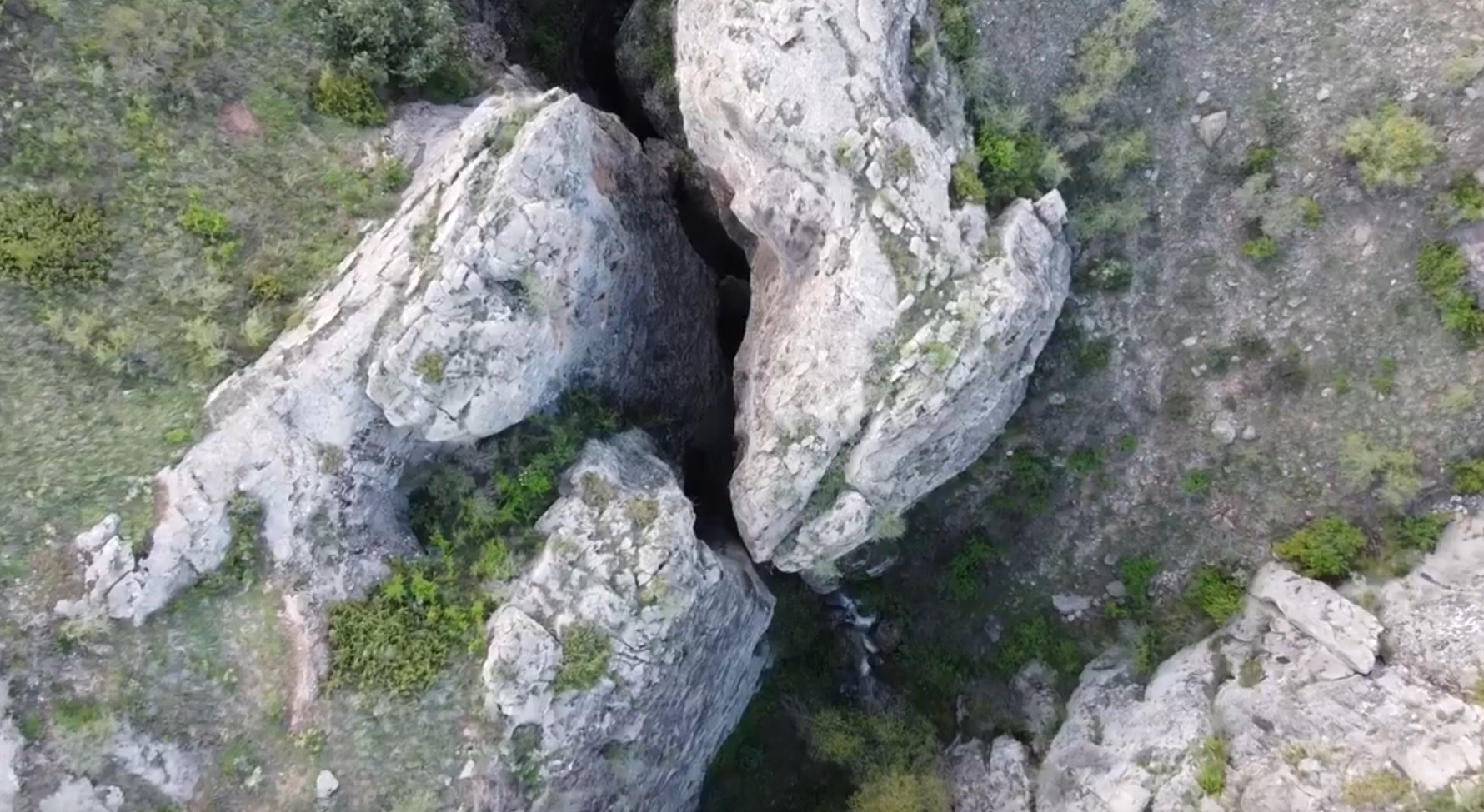
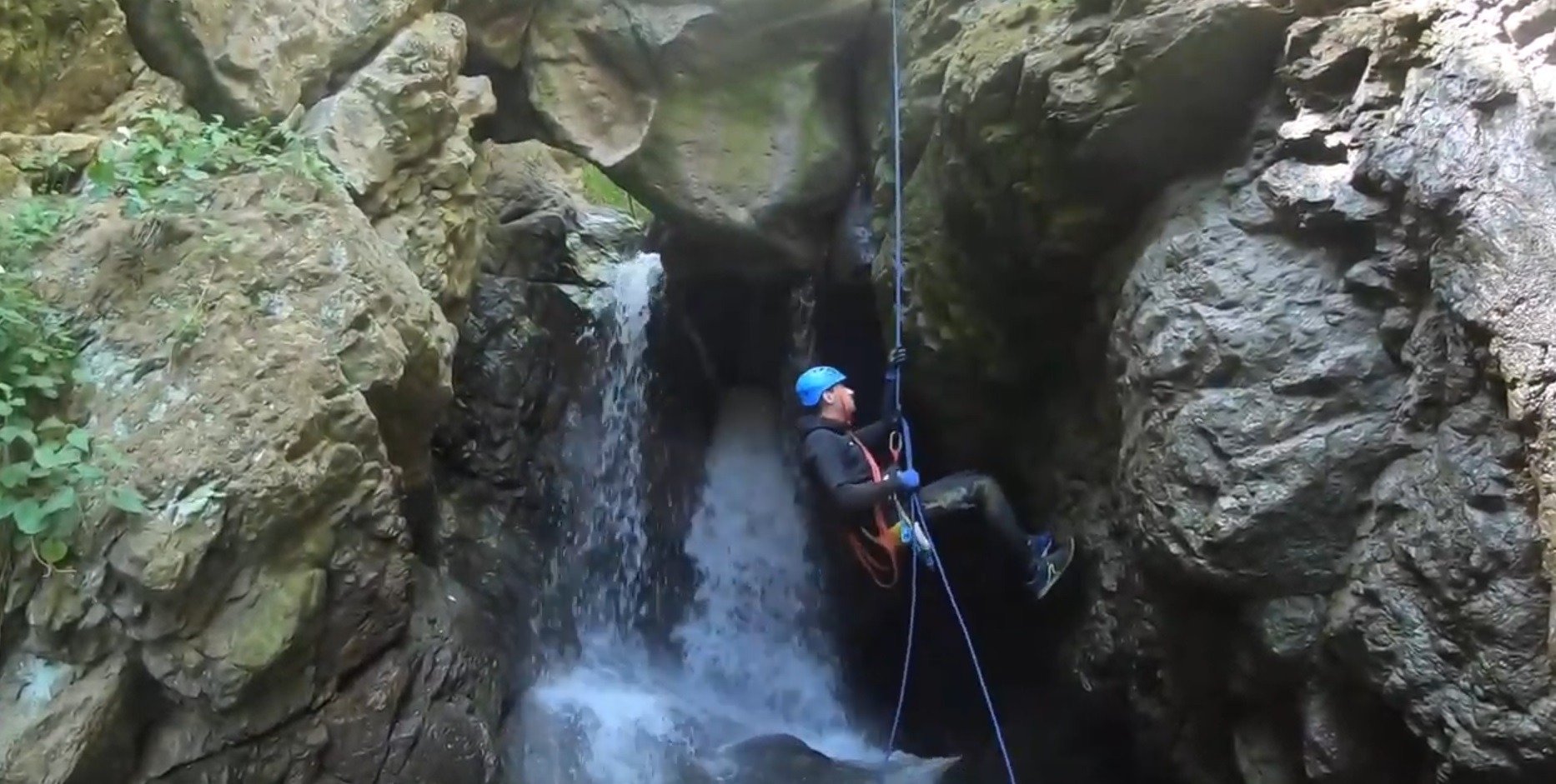
Dragon’s Canyon or Dragon Canyon is one of the most picturesque and mystical places in the region because of the steep cliffs and deep ravines. This canyon was literally shaped by the Gravi River, one of the tributaries of the Arpa River over the past millennia. The river has traced its route through a magnificent gorge which, in some places, is so thin that you can touch both walls at the same time. The river has also carved several deep caves in the gorge and near its caves there is a mineral spring with delicious water and a swimming pool where you can cool off from the summer heat. At the bottom of the canyon there are also rare plant species that have survived thanks to the climate and this unique geographical location in the region.
Dragon Canyon tells the story of a land shaped both by natural and supernatural forces but also by the hands of man :
- It is said that the canyon was once the hiding place of dragons, one of which was particularly known for its power and terrifying appearance. Legends speak of treasures hidden deep within the rocks. Regardless, the canyon has witnessed many historical events. The region was inhabited since the Bronze Age, and the canyon thus offered shelter and protection against enemies. It is this aspect which was developed in the Middle Ages, as a defensive structure against the different peoples of the region.
In addition to its attractiveness for history and legend enthusiasts, the canyon is above all a paradise for hikers who love nature, wishing to find a unique and mysterious atmosphere. Its difficult trails and magnificent panoramas offer unforgettable experiences to all those who decide to venture there to discover its secrets and hidden beauty.
To reach the canyon, it will be necessary to walk about 8 km on rolling terrain, which will take us to the edge of a 100 m cliff. From there you will be lowered using a rope through a waterfall. Then you will overcome several small waterfalls and another 7 m high. After this, a narrow and deep canyon begins, with many amazing waterfalls along the way. The walls are spaced 1.5 m apart and can reach heights of 60 to 90 m. The water can create a disturbing echo, but don’t worry, we haven’t seen a dragon in the area for a very long time. Could this noise perhaps explain this…?! After leaving the narrow canyon, we will walk another 1.5 km along picturesque gorges with extraordinary views.
After this refreshing adventure, we will be taken to the entrance of the Gndevaz Canyon, we will have to walk about 4 km more to reach our evening camp.
Please note :
People with claustrophobia, asthma, epilepsy and other life-threatening health conditions in confined spaces are not permitted to participate. An alternative route will be offered to you if you suffer from these health problems. Participants should have: Comfortable sports clothing (may get dirty or torn) Athletic or military shoes Additional clothing and shoes.
- Accommodation : tent
- Canyoning equipment
- English-speaking guide and canyoning specialist
- Logistics with 4×4 jeeps and chief
- All food
- 2 French-speaking, English-speaking, Russian-speaking IDTrek guides
| # | Southern Armenia - From Khor Virap to Goris |
| Level of difficulty | 4/5 |
| Distance traveled | 8,7 miles |
| Cumulative elevation gain | +436 m |
| Cumulative negative elevation | -1323 m |
| Nature | 5/5 |
| Culture | 3/5 |
| Meeting | 4/5 |
| Comfort | Tent |
| Transportation time | 38mn - 23 miles |
| Walking time | 5 - 6h |
Day 5 : Gndevaz Canyon - Gndevaz Monastery - Djermouk Geysers - Djermouk
IDTrek has a habit of surprising you every time we offer you something. This is why as much as the Gnishik canyon will have offered you incredible wildlife, as much as the Dragon canyon will have thrills, this canyon will offer you impressions of grandeur.
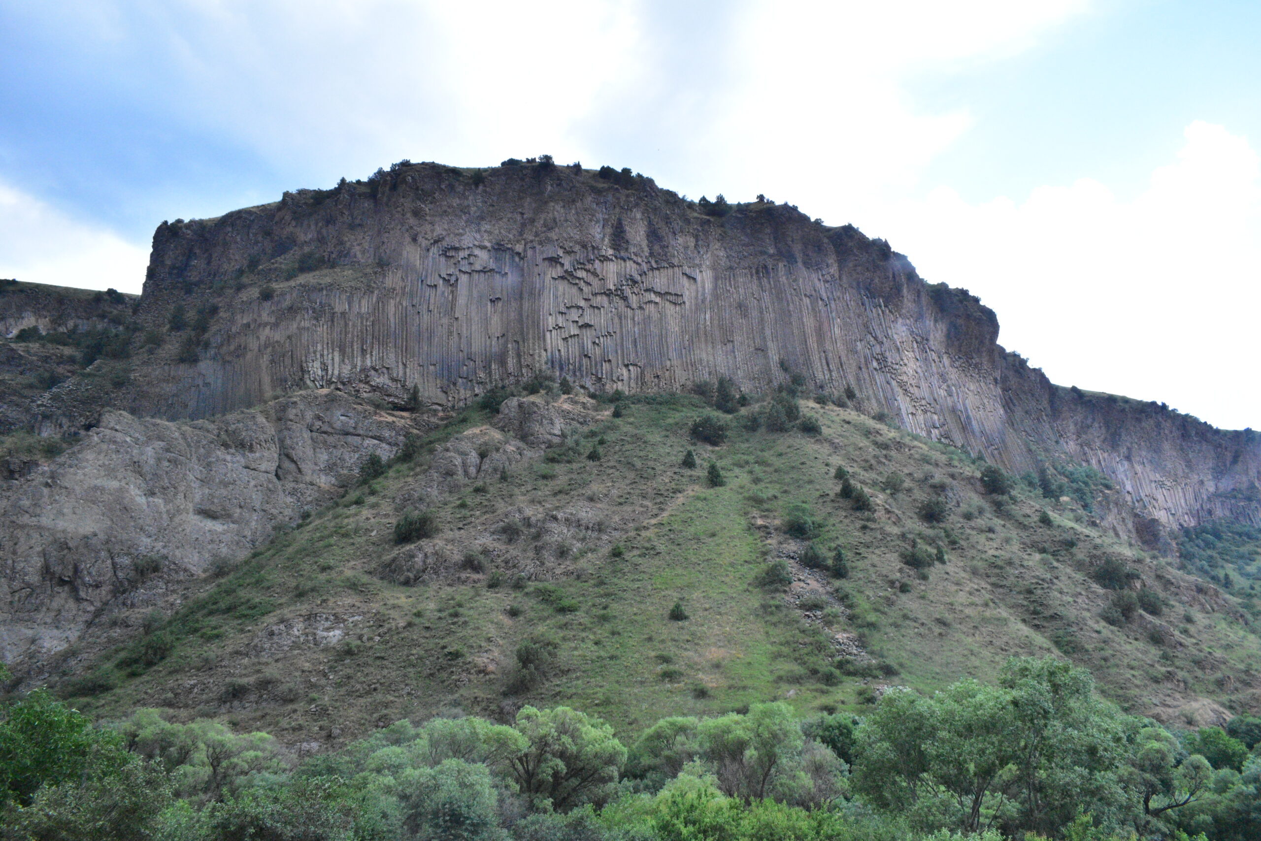
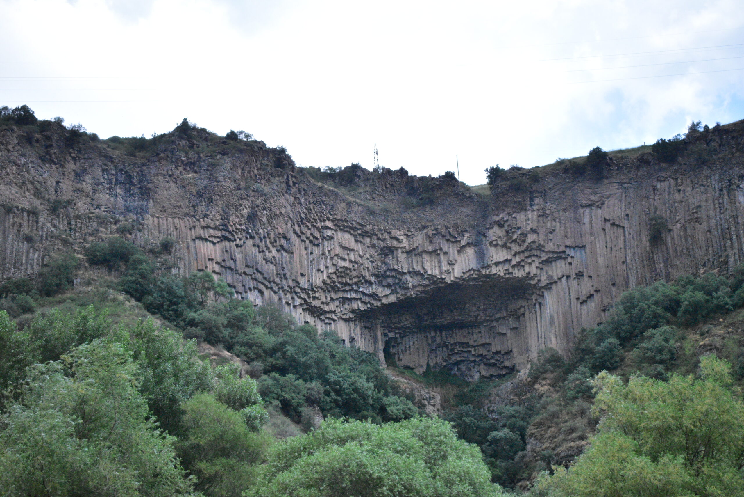
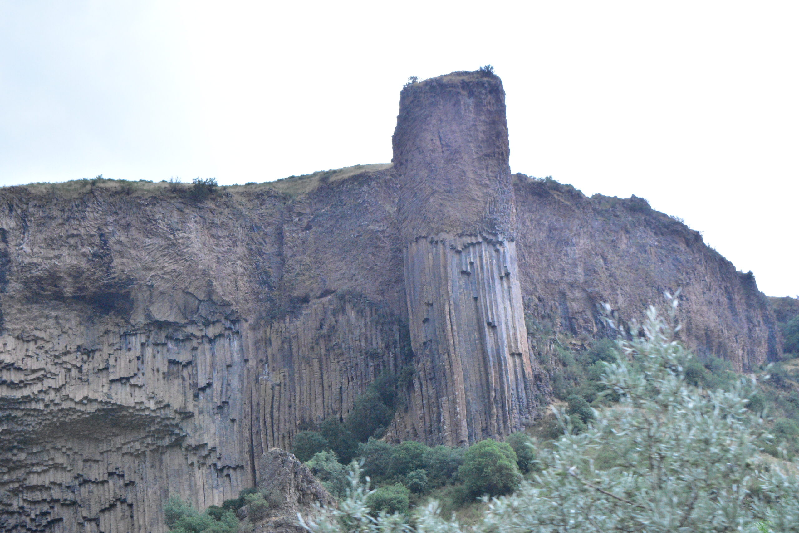
In fact, we left a narrow canyon to join a much wider canyon, with a completely different style of wall. Here the Arpa River has dug its bed in a volcanic geological formation offering you volcanic organs as far as the eye can see. This is why the canyon is nicknamed “val des grands orgues”. And it is within these organs that we will progress to the monastery of Gndevaz, founded in 936 by Sophie, wife of Smbat I of eastern Siounia, who is said to have said about her: “The Vayots Dzor was a ring without a jewel, but I built this as the jewel in this ring. »
After visiting the monastery, we will go back down into the gorges and pass next to a pillar nicknamed “Stairway steps to heaven”. It is a very well preserved quartzite vein which goes up towards the roof of the volcanic pillar and gives the impression of a staircase.
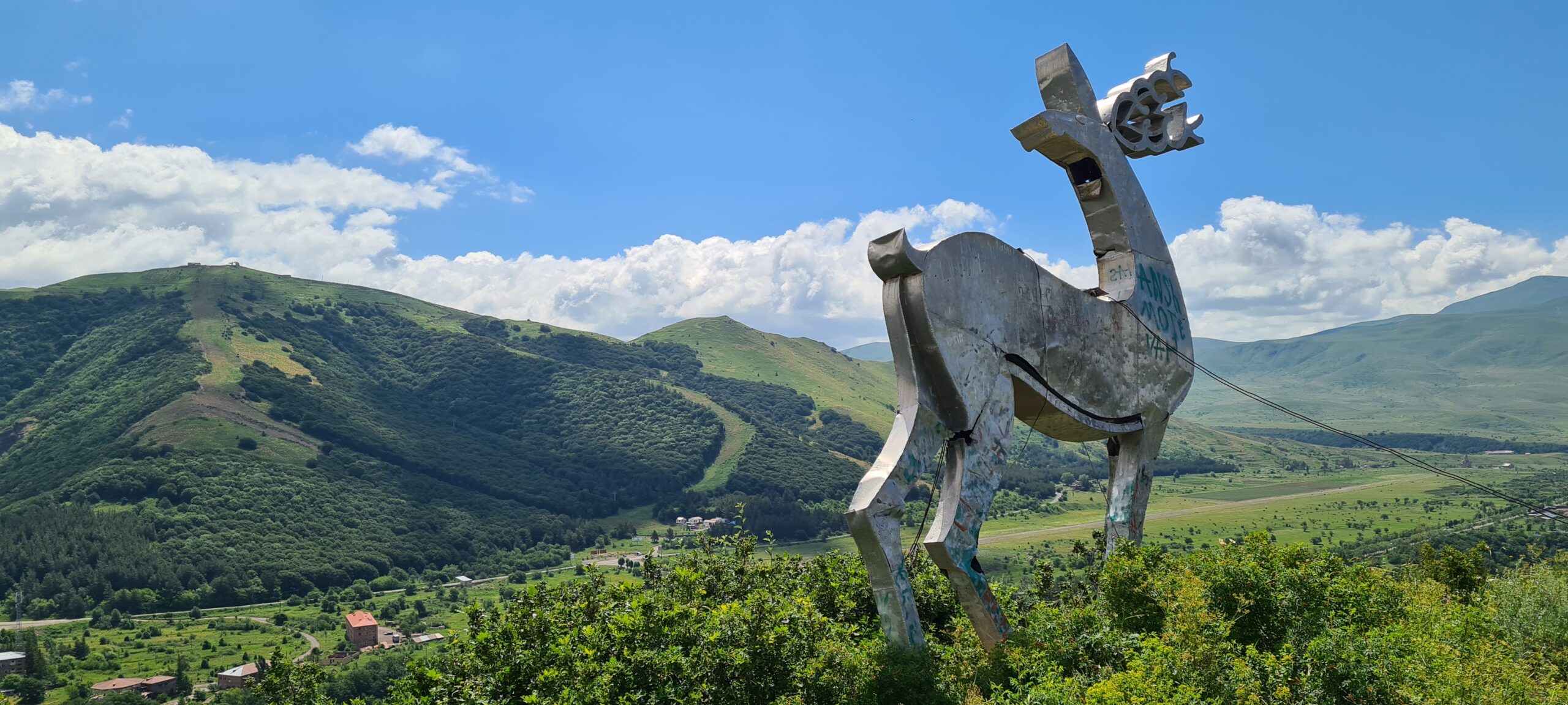
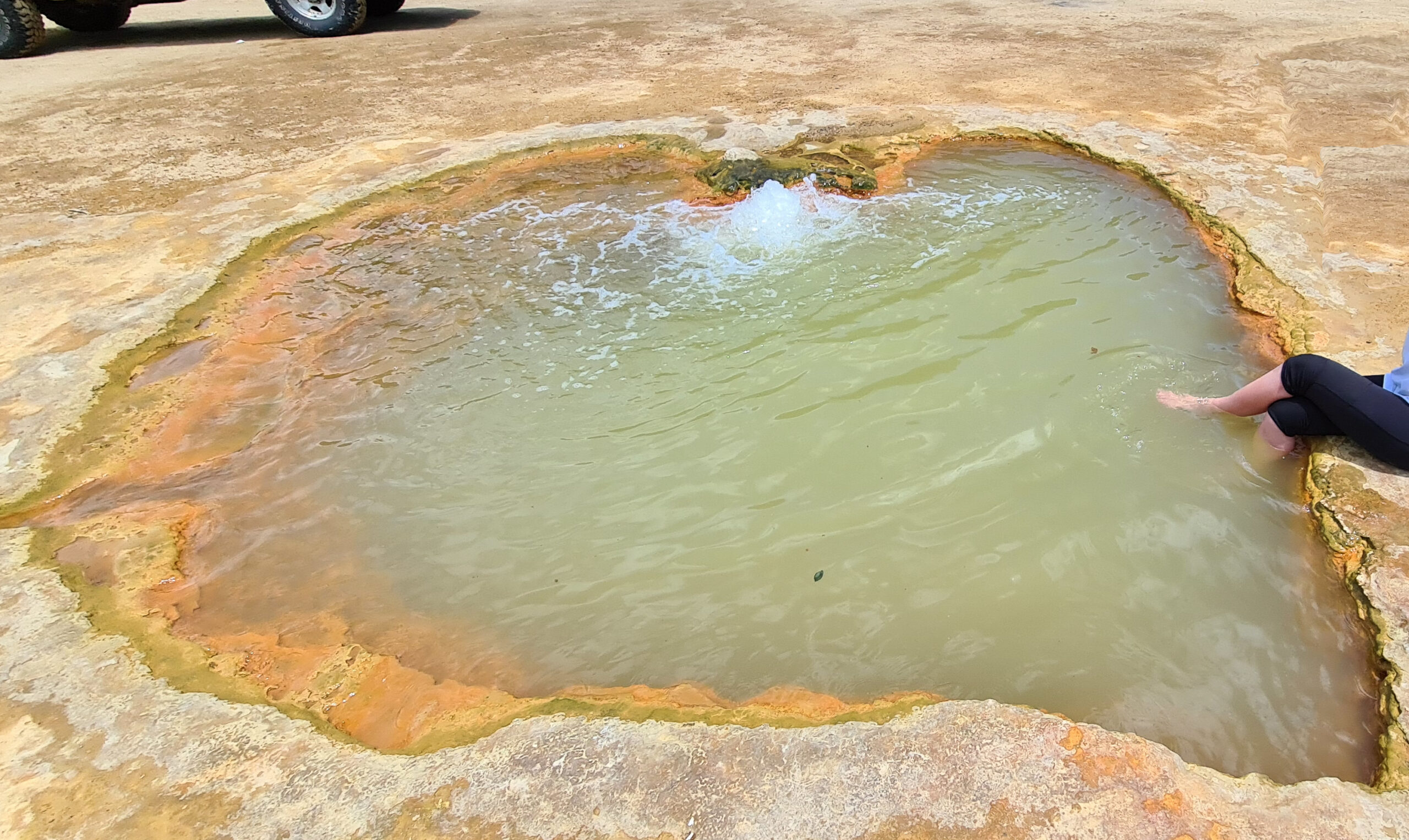
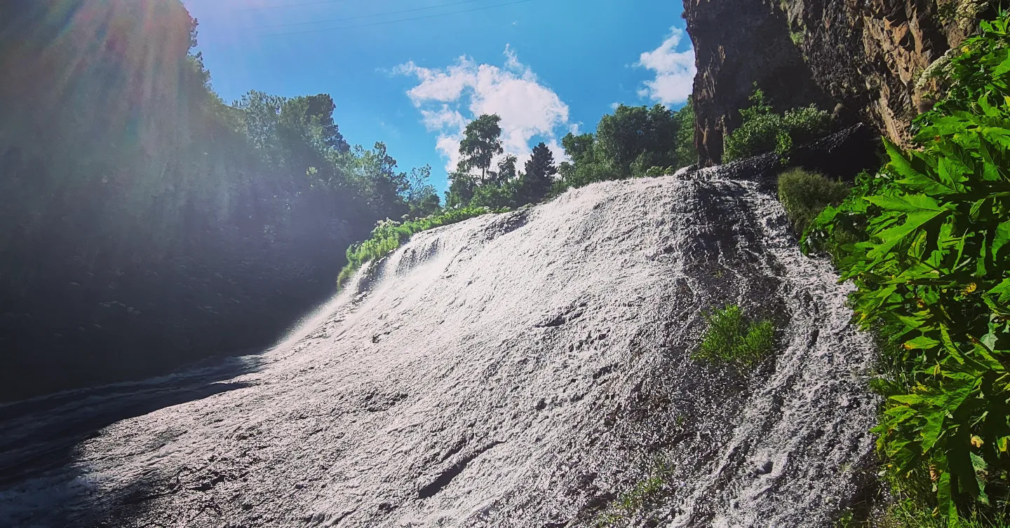
We will follow the canyon to the Ketchut reservoir then go up to the heights to reach a small geyser still active in which you can, if you wish, swim or simply rest your heavy legs. Relaxation is guaranteed. We will go back down to the north towards the town of Djermouk, passing next to the statue which is the emblem of the town: The Deer of Djermouk.
- Accommodation : hotel
- English-speaking guide
- All food
- 2 French-speaking, English-speaking, Russian-speaking IDTrek guides
| # | Southern Armenia - From Khor Virap to Goris |
| Level of difficulty | 4/5 |
| Distance traveled | 13,05 miles |
| Cumulative elevation gain | +1277 m |
| Cumulative negative elevation | -614 m |
| Nature | 5/5 |
| Culture | 4/5 |
| Meeting | 3/5 |
| Comfort | Hotel |
| Walking time | 8 - 9h |
Day 6 : Djermuk – Gorayk
Today we got up early because the main difficulty of the day was the distance to cover. To begin we will go down to observe the Djermouk waterfall, which is impressive to see. Then, our transport vehicles will drop us off at the exit of the city about 5km away in order to pass the urban area and join a path which will take us to Gorayk, our next destination.
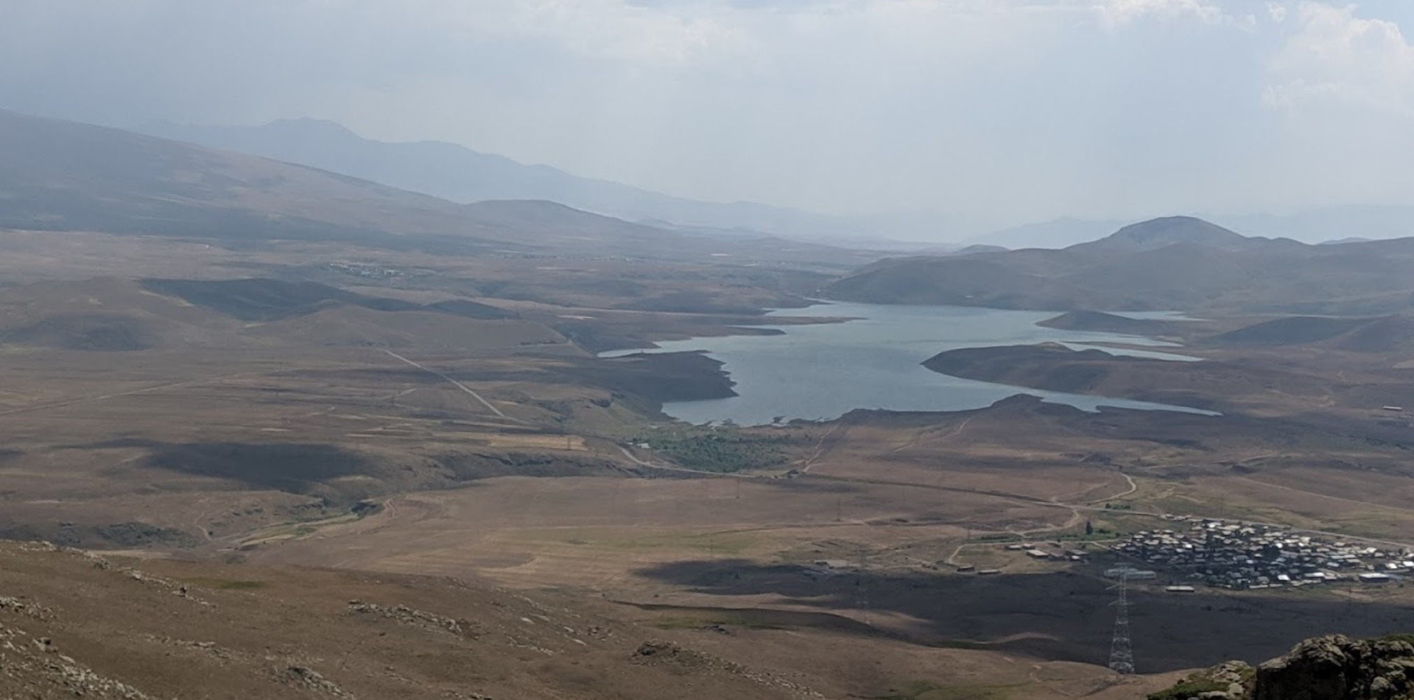
The 21km that separate us from Gorayk will take us through the gorges of the Vorotan River, and near Mount Amulsar. Known for its view of the Spandaryan Reservoir. The difference in altitude is not very significant for 21km so we will be able to move quickly.
- Accommodation : tent.
- English-speaking guide
- Logistics with chief
- All food
- 2 French-speaking, English-speaking, Russian-speaking IDTrek guides
| # | Southern Armenia - From Khor Virap to Goris |
| Level of difficulty | 3/5 |
| Distance traveled | 13,04 miles |
| Cumulative elevation gain | +541 m |
| Cumulative negative elevation | -454 m |
| Nature | 5/5 |
| Culture | 2/5 |
| Meeting | 3/5 |
| Comfort | Tent |
| Transportation time | 10mn - 3,11 miles |
| Walking time | 5 - 6h |
Day 7 : Gorayk – Spandaryan
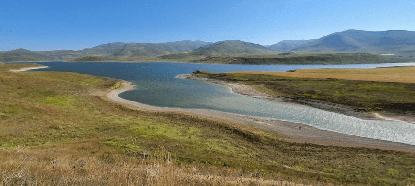
This day will be more relaxing. The shorter distance of 14.5km, with a difference in altitude not exceeding 300m, will allow us to follow the Spandaryan reservoir to its mouth where we will pitch the tents. The sunsets over the lake are particularly magnificent. We will be able to take advantage of this to rest from the previous days.
The route offers many views of Spandaryan Lake, which can enrich your collection of travel photographs.
- Accommodation : Tent
- English-speaking guide
- Logistics with chief
- All food
- 2 French-speaking, English-speaking, Russian-speaking IDTrek guides
| # | Southern Armenia - From Khor Virap to Goris |
| Level of difficulty | 2/5 |
| Distance traveled | 8,70 miles |
| Cumulative elevation gain | +274 m |
| Cumulative negative elevation | -289 m |
| Nature | 5/5 |
| Culture | 1/5 |
| Meeting | 3/5 |
| Comfort | Tent |
| Walking time | 3 - 4 h |
Day 8 : Spandaryan-Angeghakot
We will take advantage of waking up early to appreciate the sunrise over the lake and begin a new day of intense walking. We must reach the Angeghakot canyon, to do so we must climb to the heights along the Vorotan river then descend almost 450m into the canyon to reach the river. We will continue the road to Angeghakot Lake, and set up camp a little later.
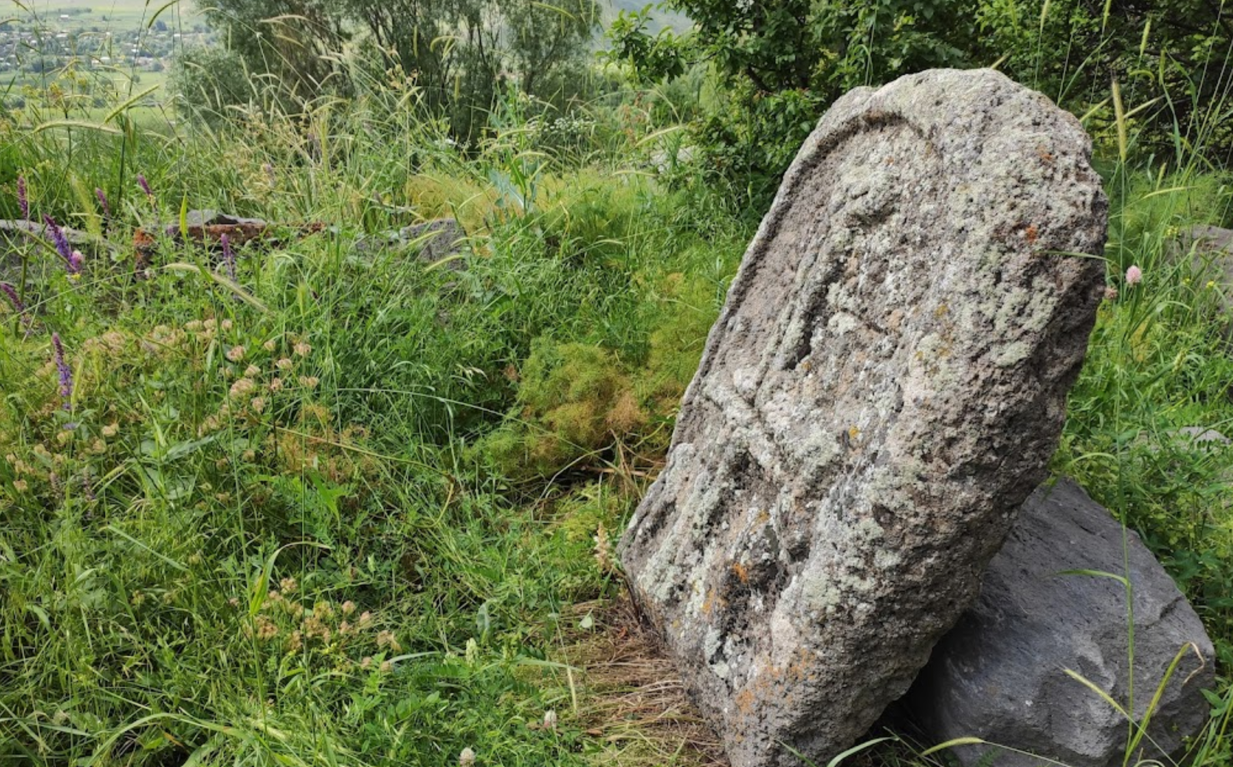
A little before Angeghakot, we will pass near a Sanctuary, that of SAINT VARDAN. We recognize LEONIDAS of SPARTA, a most famous feat of arms, the battle of Thermopylae, but another hero also helped defeat the Persians and save his people. By 451 AD, much of Armenia was under Persian occupation. Although allowed to freely practice their Christian religion, Armenians had to pay heavy taxes to the Persian ruler Yazdigerd II, who sought to convert them to Zoroastrianism and the worship of fire. The Armenians, after a national council, unanimously decided to defend their faith at all costs, even if the battle was unfair and lost in advance. The leader of the Armenian army Vartan (or Vardan) II Mamikonian, at the head of a small army composed of soldiers of believers and clergy, led battle against the powerful and gigantic Persian Sasanian army at the field of Avarayr.
The battle was grim, Vartan and his entire army were martyred, but it was their bodies and not their faith that were defeated. However, despite this tragic end, and in view of this “divine” and ineffable courage of the Armenians and their fierce attachment to their religion, the Persian sovereign granted them the right and freedom to freely practice their religion and repealed the unjust taxes and restrictions. The Treaty of Nvarsak, subsequently signed between the Sasanian occupiers and the Armenians, thus guaranteed the autonomy of Armenia for future centuries.
Vartan was sanctified by the Armenian Church. The feast of Saint Vartan is a religious and national celebration at the same time. The date of the holiday changes in the Armenian Church calendar, as it occurs on the last Thursday of each February preceding Great Lent. Saint Vartan represents the very incarnation of courage and nobility, vehemence and above all martyrdom for his people. It is also an inexhaustible source of inspiration, hope, and resistance against evil and injustice.
- Accommodation : Tent
- English-speaking guide
- Logistics with chief
- All food
- 2 French-speaking, English-speaking, Russian-speaking IDTrek guides
| # | Southern Armenia - From Khor Virap to Goris |
| Level of difficulty | 3/5 |
| Distance traveled | 13,05 miles |
| Cumulative elevation gain | +386 m |
| Cumulative negative elevation | -828 m |
| Nature | 5/5 |
| Culture | 3/5 |
| Meeting | 3/5 |
| Comfort | Tent |
| Walking time | 6 h |
Day 9 : Angeghakot - Shaki Waterfall - Zorats Karer Carahunge - Sissian
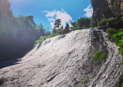
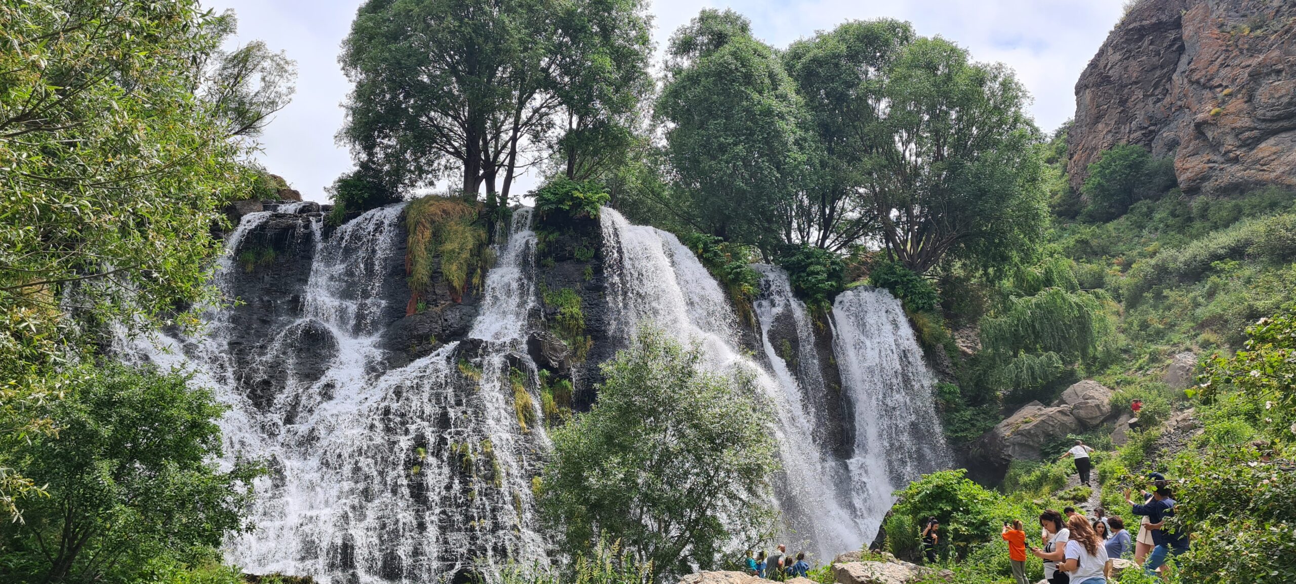
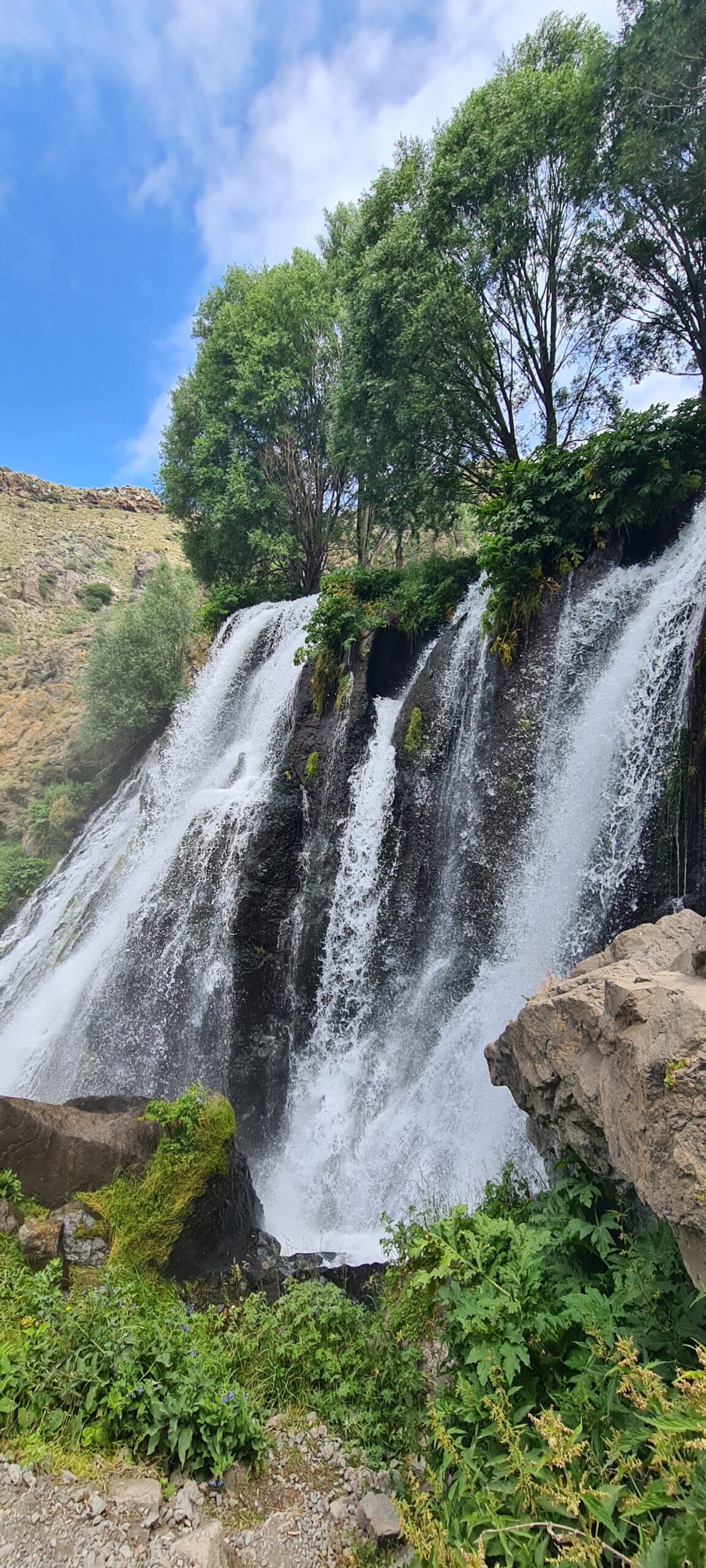
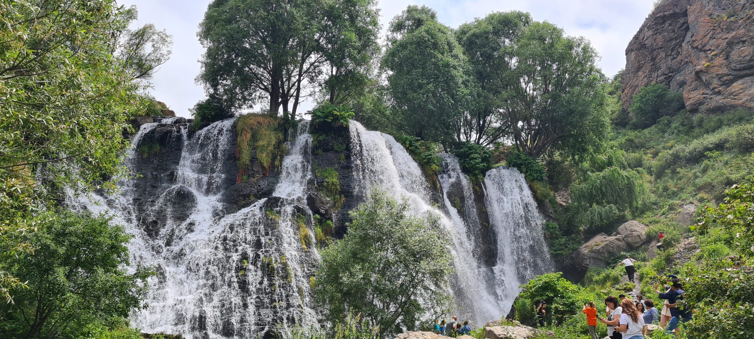
Once again a shorter day awaits us, but just as interesting. We will pack up our pack and after a hearty breakfast, we will set off to reach the town of Sissian. After less than 4km, we will have reached the Shaki waterfall, which is as impressive as it is magnificent.
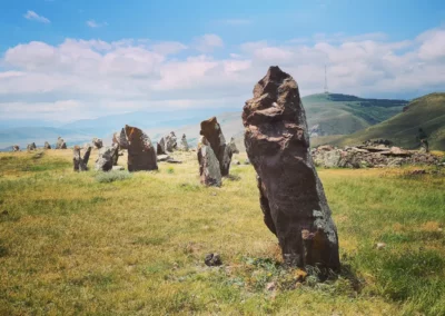
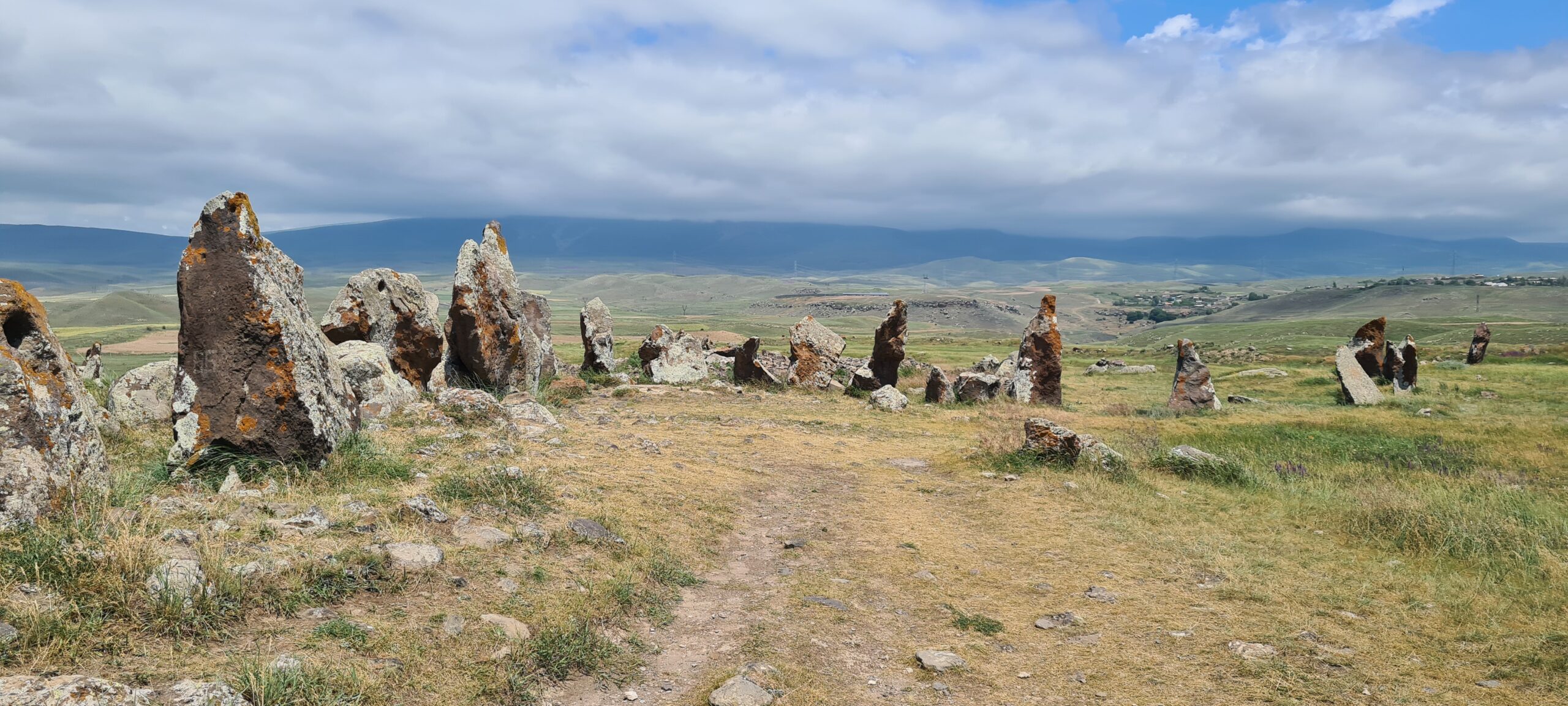
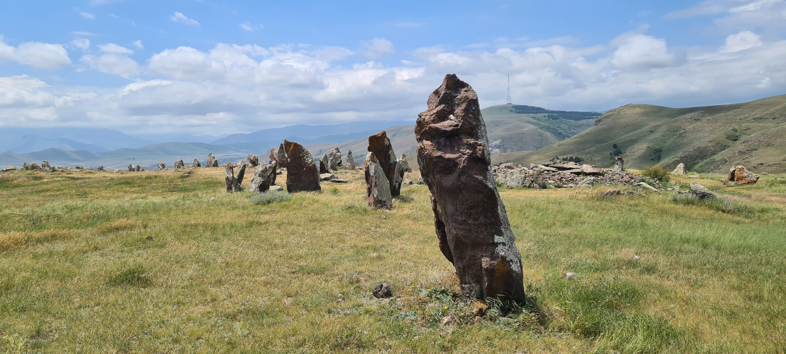
Then further, we will travel to the archaeological site of Zorats Karer, also called Karahunj (“voice of the stones”). It is a megalithic site dating from the Bronze Age and made up of a set of tombs and hundreds of menhirs (220 have been recorded there) aligned on a 3 ha plot of land, 1,770 m above sea level. altitude on a rugged plateau. All the stones in the monument are basalt and some have holes.
The site is believed to be an ancient 7,500-year-old observatory intended to track the movements of the stars and measure time. Karahunj has been compared to Stonehenge, Carnac and Newgrange, which have also been interpreted as observatories and possible places of sun worship but many think of a necropolis which would have started in the Bronze Age until the early Middle Ages. Karahunj predates Stonehenge by 3,500 years and could have inspired the western civilizations of North-West Europe.
After visiting this site, only 3 km separate us from the hotel. We therefore have plenty of time to stroll among these menhirs.
- Accommodation : hotel
- English-speaking guide
- All food
- 2 French-speaking, English-speaking, Russian-speaking IDTrek guides
| # | Southern Armenia - From Khor Virap to Goris |
| Level of difficulty | 3/5 |
| Distance traveled | 8,07 miles |
| Cumulative elevation gain | +359 m |
| Cumulative negative elevation | -417 m |
| Nature | 4/5 |
| Culture | 4/5 |
| Meeting | 3/5 |
| Comfort | Hotel |
| Walking time | 4 - 5h |
Day 10 : Sissian - Vorotnavank Monastery - Vorotnaberd - Vorotan
We will continue our route along the Vorotan river for around fifteen kilometers to reach the Vorotnavank monastery.
Vorotnavank is a monastic complex protected against foreign invasions by a high stone wall. This monastery once housed workshops, stores, a seminary, a resort, a cemetery, gardens and a hospice. Queen Shahandukht, ruler of Syunik, had the main church built in the year 1000 on a sanctuary dedicated to Saint Grigor Lusavorich (Gregory the Illuminator). His son Sevada built the adjoining church in 1006-1007. Vorotnavank was destroyed several times by foreign invasions as well as an earthquake in 1931 in which the dome of the adjoining church collapsed.
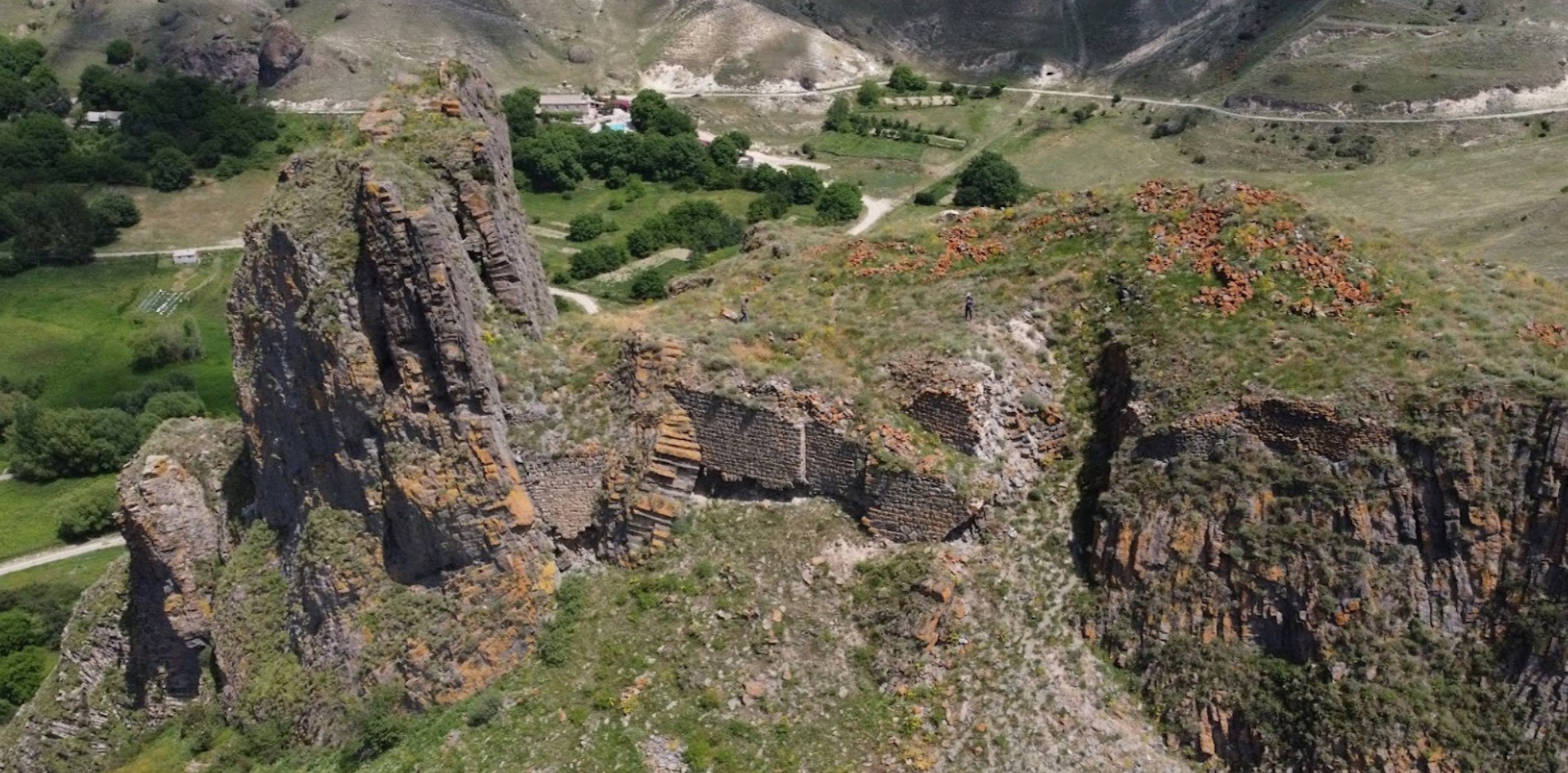
After visiting this monastery, we will extend our route by approximately 3km, pass near hot springs and reach the Vorotnaberd Fortress (also called Davit Bek Castle). It was built at an altitude of 1,365 meters on a rocky peak made up of basalt organs and thus overlooks the Vorotan gorge. An underground passage connected to the Vorotnavank Monastery and the Vorotan River was used during sieges. However, it was destroyed several times by foreign invasions :
- In 1104 (possibly also in 1219), the Seljuk-Turks attacked the fortress and the neighboring monastery of Vorotnavank,
- the Mongol-Tatars (in 1236?)
- Timur Lenk in 1386 where his army besieged the fortress.
In 1724, Davit Bek, one of the most prominent military figures of the 18th century Armenian liberation movement against the Ottoman Turkish invasion, took control of Vorotnaberd giving the fortress the name “Davit Bek Castle”. . In 1727, in order to put an end to the Ottoman approach in the region, King Tahmasp II of Iran appointed Davit as governor of the region and gave him the right to administer the region as a vassal Armenian principality under Iranian control.
Today the fortress is still connected to the left bank of Vorotan by a particularly preserved stone bridge called the Melik-Tangi. The fortress itself has unfortunately suffered a lot of damage and only a few sections of wall are still standing. The interest of the site lies in the position of the fortress. It was built on basalt organs which were formed both horizontally and vertically giving the site a majestic appearance. The view from the fortress is also impressive and extends over a distant horizon.
We will set up camp nearby.
- Accommodation : Tent
- English-speaking guide
- All food
- 2 French-speaking, English-speaking, Russian-speaking IDTrek guides

| # | Southern Armenia - From Khor Virap to Goris |
| Level of difficulty | 3/5 |
| Distance traveled | 11,80 miles |
| Cumulative elevation gain | +503 m |
| Cumulative negative elevation | -691 m |
| Nature | 5/5 |
| Culture | 4/5 |
| Meeting | 3/5 |
| Comfort | Hotel |
| Walking time | 5 - 6h |
Day 11 : Vorotan - Tatev - Tatevi Anapat- Devil's Bridge - Harsnadzor
After breaking camp, a good breakfast and for the bravest, a sunrise on the roof of the Vorotnaberd fortress to take a few photos, we board the 4×4 for a transfer of around thirty km. Our vehicles will drop us off near the Tatev Monastery.
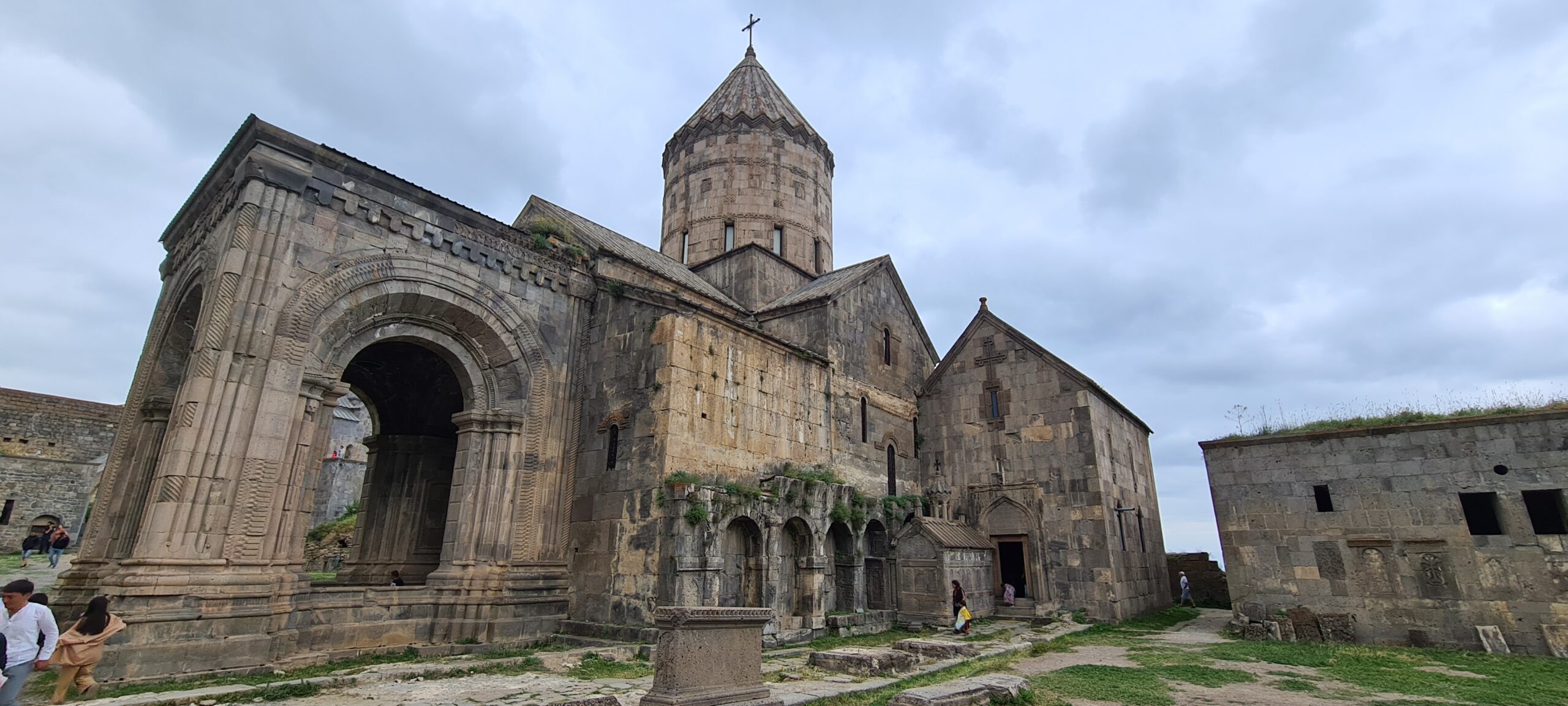
The Tatev monastery was developed in the 9th century from a modest church, itself built on the site of a pagan temple. It is located on a large basalt plateau on the edge of a deep gorge of the Vorotan River. Tatev is known as the seat of the Syunik bishopric and played an important role in the history of the region thanks to one of the most important medieval Armenian universities, in the 14th and 15th centuries, which contributed to the advancement of science, religion and philosophy, to the reproduction of books and the development of miniature painting. A local legend has it that during the construction of the main church, while completing the final structure of the dome, one of the workers fell into the abyss, calling on God to grant him wings, which, in Armenian, translates to: “Ta Tev”. Although the monastery suffered the same invasions as Vorotnavank and Vorotnaberd, it retained sufficient notoriety to be reborn each time.
After visiting Tatev, we will descend via a path in the gorge to reach Tatevi Anapat. The “Great Hermitage of Tatev”, which was once a renowned religious center, was built in the 1660s by order of Catholicos Hakob IV Jughayetsi following the destruction of the Harants (fathers) hermitage of Halidzor by an earthquake in 1658.
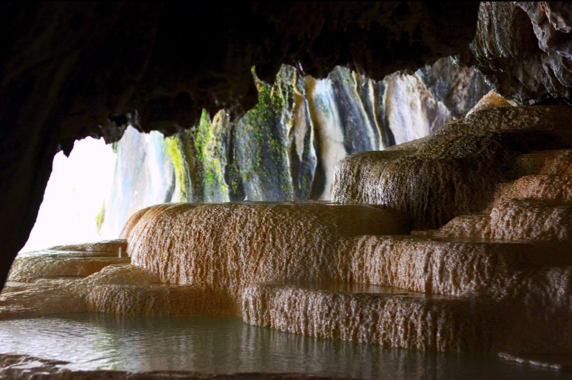
We will continue our route along the path to then join the main road which leads to Tatev, and cross it to enter the Devil’s Bridge aquatic complex. Here, at Devil’s Bridge, nature has reached the peak of its creativity. The gorge is occupied by several calcite pools which retain water and in which you can bathe. The Devil’s Bridge is a natural bridge made of travertine. The length is about 30 m, the width is 50-60 m. Many springs around the bridge, colored as they flowed down the canyon walls, this one in pink, yellow and green.
Finally, after some well-deserved relaxation, we will hit the road again to reach our hotel after 5km.
- Accommodation : Hotel
- Transfer from Vorotan to Tatev
- English-speaking guide
- All food
- 2 French-speaking, English-speaking, Russian-speaking IDTrek guides
| # | Southern Armenia - From Khor Virap to Goris |
| Level of difficulty | 4/5 |
| Distance traveled | 7,42 miles |
| Cumulative elevation gain | +513 m |
| Cumulative negative elevation | -703 m |
| Nature | 5/5 |
| Culture | 5/5 |
| Meeting | 3/5 |
| Comfort | Hotel |
| Transportation time | 1h - 18,64 miles |
| Walking time | 4 - 5h |
Day 12 : The ancient hilltop villages of Old Halidzor, Old Shinuhayr and Old Khot
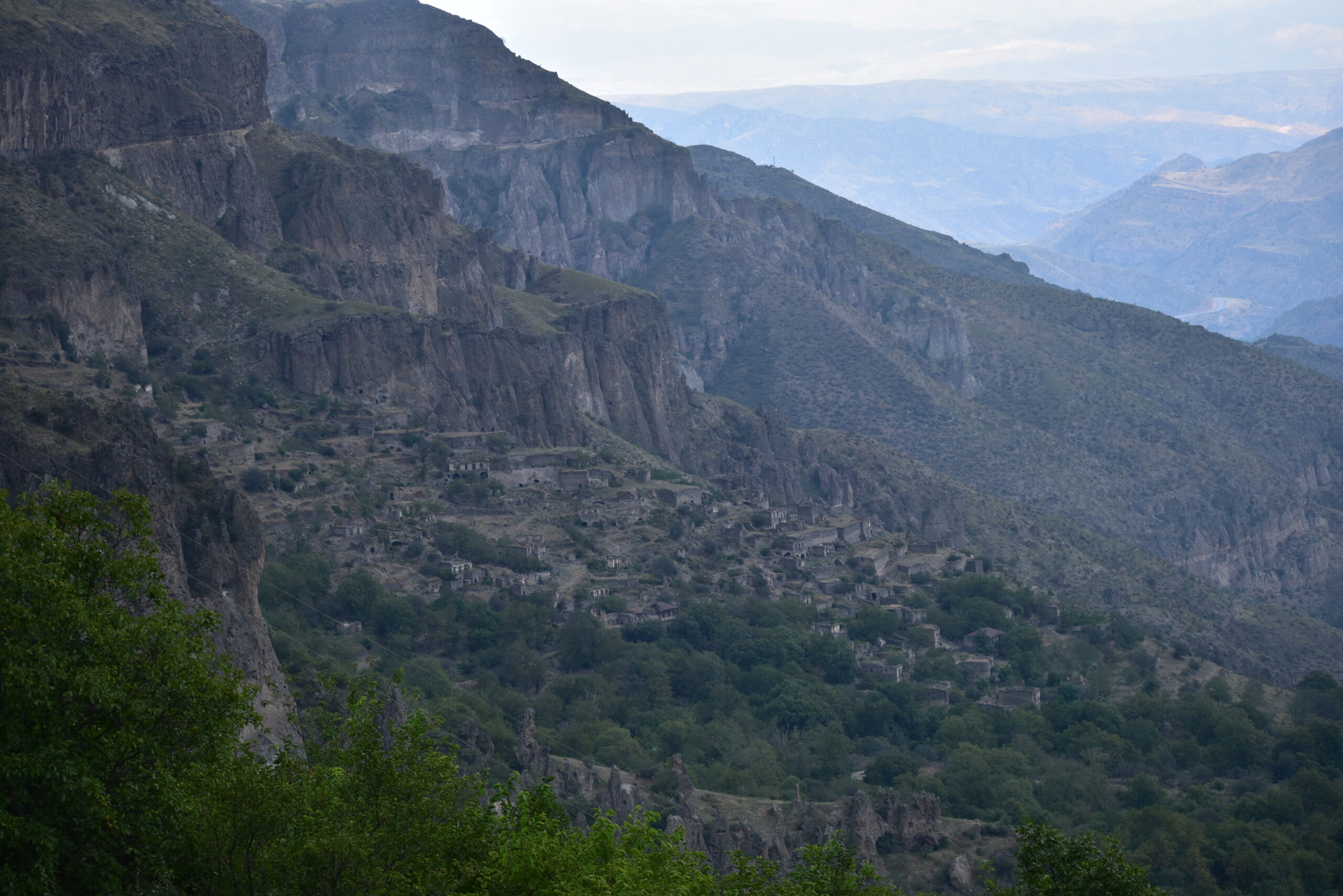
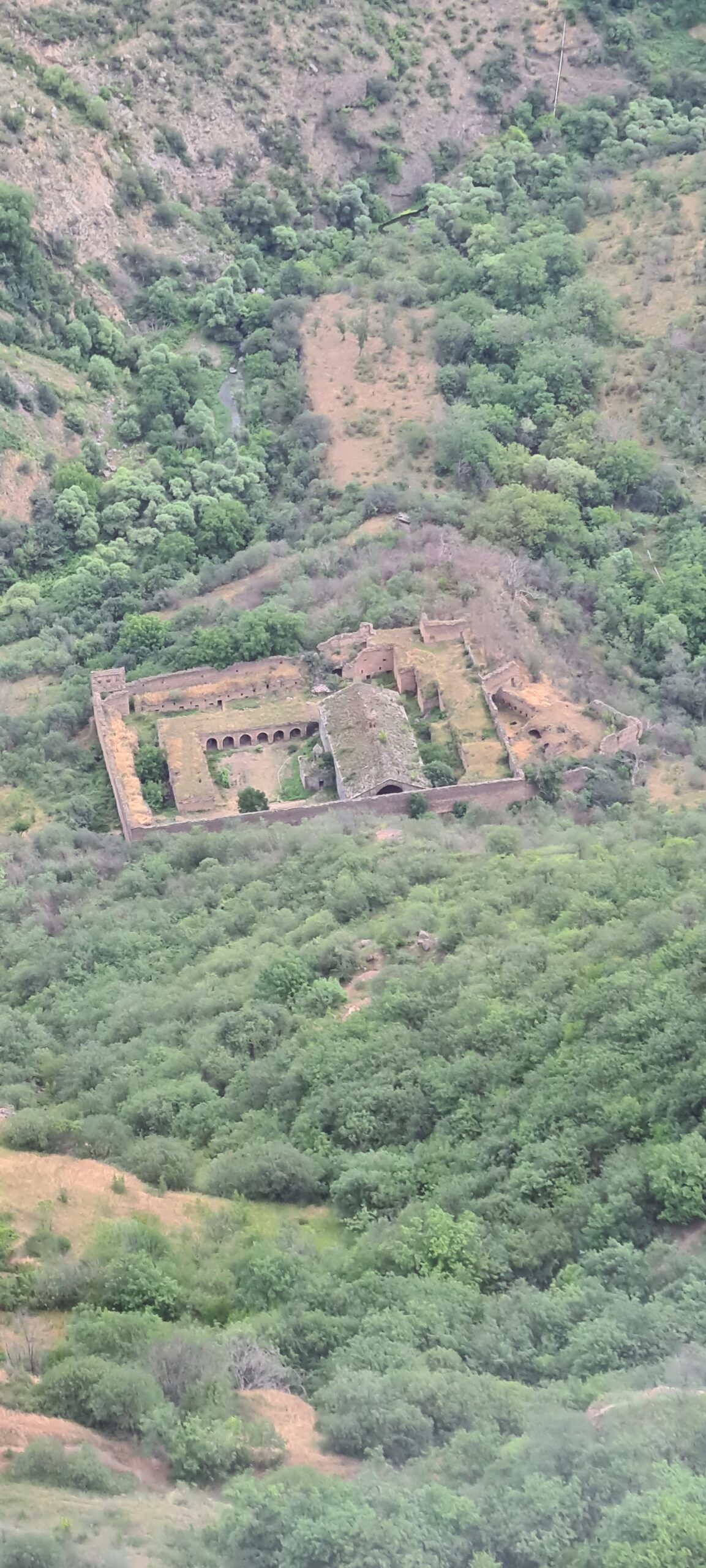
The day will be devoted to the discovery of three villages emblematic of the historical evolution of Southern Armenia. These villages date from the 10th century at least; and still exist today in their new version. Hence the “old” for old village. During the Soviet years, Halidzor, Shinuhayr and Khot were part of the Armenian SSR and from 1930 these villages became part of the Goris region.
Halidzor has a rich history and is adorned with historical monuments. On the international stage, it is home to one of the most important monuments of the Republic of Armenia: the Tatev Monastery complex, located on the edge of the Vorotan Gorge. This is the first stop of the world’s longest cable car, the Tatev Aerial Tramway. The village is surrounded by lush forests, deep canyons and picturesque mountain ranges.
During the Syunik Rebellion in the 1720s, Armenian military leader Davit Bek made Shinuhayr his first base of operations and began repairing the colony’s fortress. Beyond its religious function, the village church named Saint Stepanos served as David-Bek’s residence, and served as the administrative core of the village.
Khot is the oldest of the three villages, it was first mentioned as a county town of Syunik province during the time of the Kingdom of Armenia. The village was previously known as Khotavan, from Khot + avan (town). The name of the settlement comes directly from the Armenian word Khot meaning grass and which would refer to the rich gardens surrounding old Khot. In medieval times, Khanapa Castle was built and its ruins can still be seen today. The oldest monastery in the village was Khoti Vank, built in the 5th-6th centuries. The ruins of the village’s red church from the 12th century are preserved in the old cemetery. The bells of this church were known for their powerful sound. The Mrgadzori Khach church was built in the 18th century, according to legend, it was built by an Armenian woman who escaped the harem of the Persian Shah Abbas. In the 19th century, the Russian general Yermolov mentioned Khot as an Armenian village in the Karabakh province, conquered from Qajar Iran during the Russo-Persian War (1804-1813). A new settlement was built on a plateau outside the old town, causing the old town of Khot to be abandoned in the 1960s and 1970s. Ancient cave dwellings have been preserved in the village and its surroundings.
Our camp will be located approximately 6km from Khot, during the journey you will have magnificent panoramas of the Syunik region and the Vorotan gorges.
- Accommodation : Tent
- Transfer
- English-speaking guide
- All food
- 2 French-speaking, English-speaking, Russian-speaking IDTrek guides

| # | Southern Armenia - From Khor Virap to Goris |
| Level of difficulty | 3/5 |
| Distance traveled | 9,94 miles |
| Cumulative elevation gain | +682 m |
| Cumulative negative elevation | -715 m |
| Nature | 4/5 |
| Culture | 5/5 |
| Meeting | 3/5 |
| Comfort | Tent |
| Transportation time | 10 mn 1,24 miles |
| Walking time | 5 - 6h |
Day 13 : In the direction of Goris
We will cover the approximately 10 km that separate us from Goris and then take the opportunity to rest or visit the town. The day is short but after several days of walking, it is important to take a break.
Goris is also a historic town, the first inhabitants of the region already stayed there in the Stone Age. Goris is first mentioned by name in the Urartian period between 735 and 713 BC. In the Middle Ages, the settlement was located in the eastern part of present-day Goris, on the left bank of the Goris River and was called Kores. Between the 12th and 15th centuries, Goris like other historical territories of Armenia suffered greatly from Seljuk, Mongol, Aq Qoyunlu and Kara Koyunlu invasions.
In the early 16th century, Syunik became part of the Erivan province within Safavid Persia. In the early 18th century, the region was the center of the Armenian liberation campaign led by David Bek against Safavid Persia and Ottoman Turkish invaders. In 1750, the region became part of the new Karabakh Khanate. At the beginning of the 19th century, many territories of Armenia, including the ancient Kores region of Syunik, became part of the Russian Empire following the Russo-Iranian War of 1804-1813.
In 1876, on the initiative of the governor of Uezd Staratsky, using a city plan designed by a German architect, the construction of the new Goris was completed near the old town of Kores. Goris became the capital of the autonomous regions of Daralayaz (present-day Vayots Dzor Province), Zangezur and parts of Nagorno-Karabakh as the Republic of Mountainous Armenia (Lernahaystani Hanrapetutyun) in 1921 after a self-proclaimed declaration of independence. However, the Red Army carried out massive military operations in the region from June to July 1921, attacking Syunik from the north and east. Following fierce fighting, the mountainous Republic of Armenia capitulated on July 13, 1921.
Under Soviet rule, Goris was the regional center of the Zangezur region of the Armenian SSR. With the creation of the Goris district in 1930, the town became the regional center of the newly founded district and the economy flourished there.
- Accommodation : Tent
- English-speaking guide
- All food
- 2 French-speaking, English-speaking, Russian-speaking IDTrek guides
| # | Southern Armenia - From Khor Virap to Goris |
| Level of difficulty | 1/5 |
| Distance traveled | 6,21 miles |
| Cumulative elevation gain | +357 m |
| Cumulative negative elevation | -321 m |
| Nature | 4/5 |
| Culture | 1/5 |
| Meeting | 3/5 |
| Comfort | Hotel |
| Walking time | 3 - 4h |
Day 14 : Goris – Old Khndzoresk – Goris
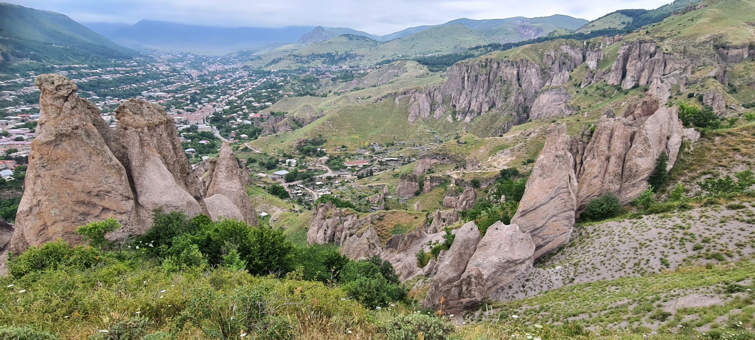
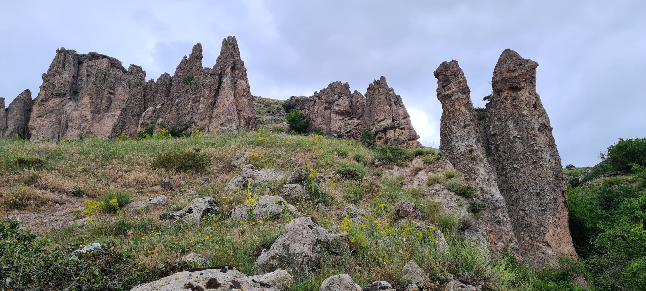
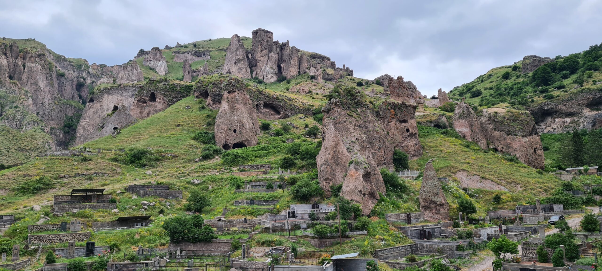
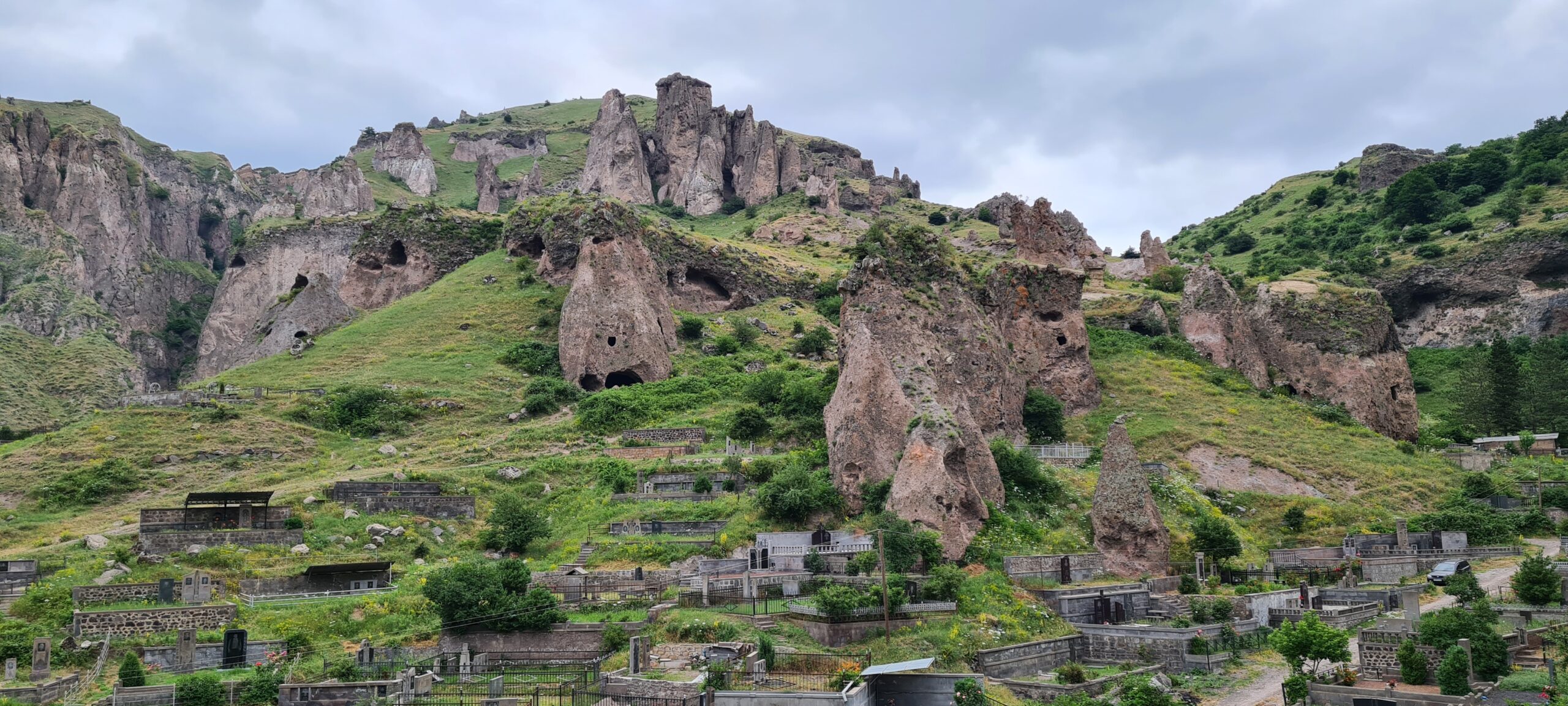
We will start the day by exploring old Goris by going up through the geological formations eroded by the wind that look like fairy chimneys or Italian dolomites in order to reach the heights then we will follow the ridges for around 5km. Going back down to the other side, we will be able to see our objective in the distance. The village of Old Khndzoresk.
At the end of the 19th century, Old Khndzoresk was the largest village in Eastern Armenia. The village is famous for having participated in the David Bek liberation movement. Khndzoresk Fortress served as a military base for Mkhitar Sparapet in 1728-1730. During the 1980s, an additional village arose 7 km (4.3 mi) from Khndzoresk due to resizing and political unrest. This village, considerably smaller than Khndzoresk, is called Lower Khndzoresk, or Nerkin Khndzoresk.
The ancient troglodyte settlement of Khndzoresk is located on the right and left slopes of Khor Dzor (deep gorge), from where it is said to take its name. The village is located at an altitude of 1580m. It was first mentioned in the 13th century list of villages that paid taxes to Tatev Monastery but is probably older.
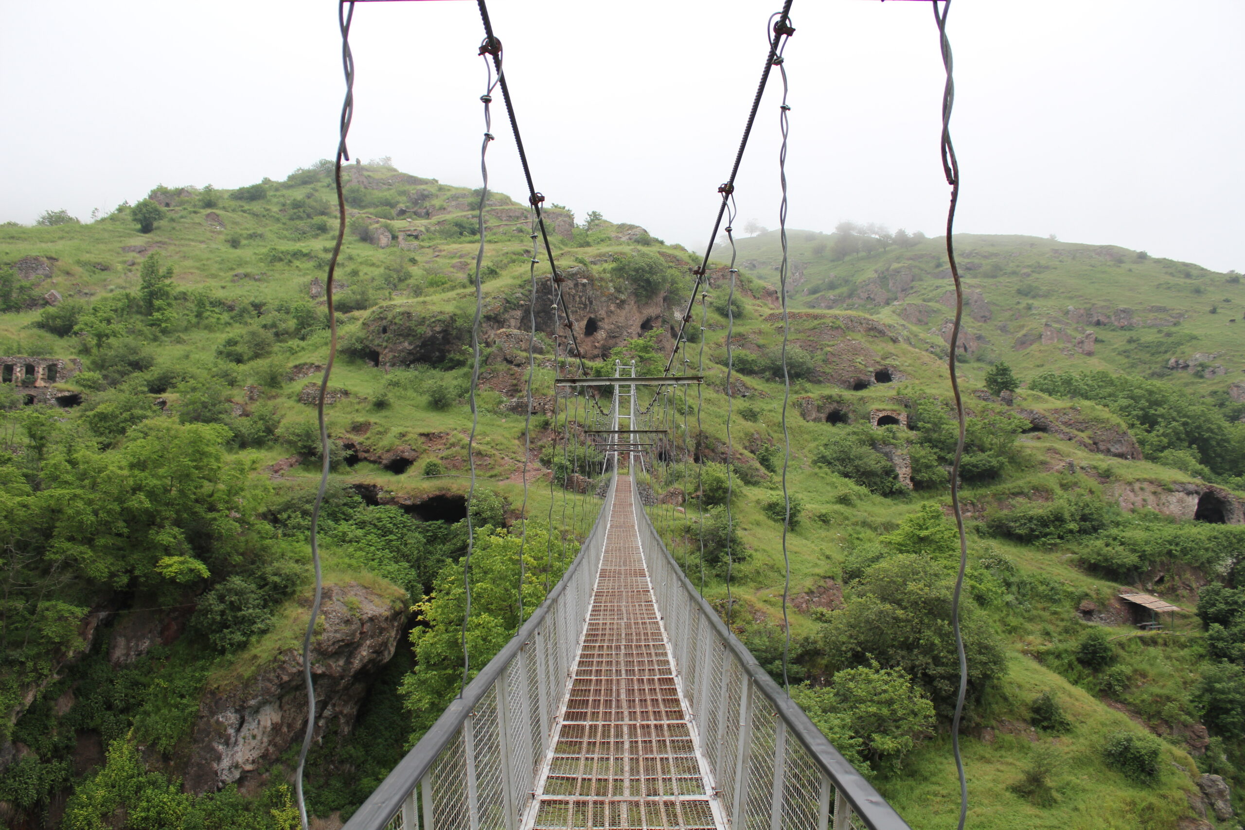
Its architecture is unique: almost all the dwellings are dug into the caves. Better designed houses with limestone porches and glkhatuns (a stone house with a stepped wooden roof supported by pillars) with additional cave rooms are carved into the lower parts of the slopes. Terraces were built according to the geographical features of the area and houses were stacked on top of each other, with the roof of one house often serving as a courtyard for another. This made the village look like a huge multi-story structure going up a hill. Khndzoresk is rich in historical monuments. The village and its surroundings include a burial field (2nd-1st millennium BC), the remains of the castles of “Aghjka Berd” and the “Mkhitar Sparapet fortress”, several churches from the 9th to the 19th century, the Melik Kasi Castle (1836), a school building (1840), cemeteries, an oil press, reservoirs, springs, medieval khachkars and tombstones. A Himalayan footbridge 160 m long and 63 m high was put in place to connect the old and new villages in 2012.
To reach the village, you will have to pass through this Himalayan footbridge. The vehicles will wait for us at the exit of the village to take us back to our hotel in Goris. During the return journey we will stop to observe Goris from a panoramic viewpoint.
- Accommodation : Tent
- Transfer
- English-speaking guide
- All food
- 2 French-speaking, English-speaking, Russian-speaking IDTrek guides
| # | Southern Armenia - From Khor Virap to Goris |
| Level of difficulty | 4/5 |
| Distance traveled | 9,94 miles |
| Cumulative elevation gain | +915 m |
| Cumulative negative elevation | -904 m |
| Nature | 5/5 |
| Culture | 5/5 |
| Meeting | 3/5 |
| Comfort | Hotel |
| Walking time | 6 - 7h |
Day 15 : Goris – YEREVAN
Unfortunately, the trip is coming to an end and it’s time to go home. Transfer of participants to Yerevan then free day. If time permits, several stops are possible along the route :
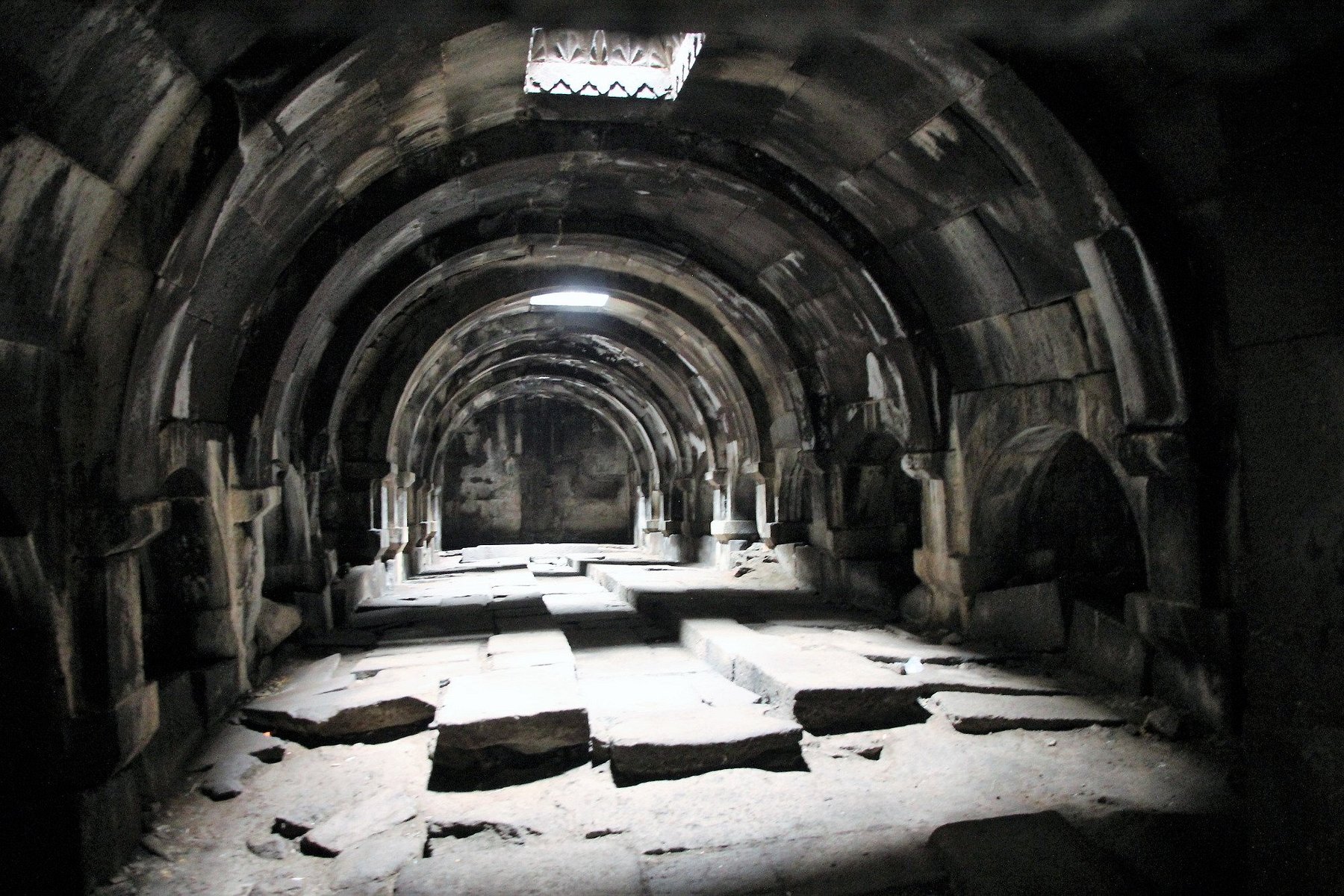
- Kotrats Karavanseray
- Karablur Castle
- Menhir
- Portakar – Bellybutton-stone
- Vorotan Pass
- Night in hotel in YEREVAN
- Transfer
- English-speaking guide
- All food
- 2 French-speaking, English-speaking, Russian-speaking IDTrek guides
| # | Southern Armenia - From Khor Virap to Goris |
| Level of difficulty | 1/5 |
| Comfort | Hotel |
| Transportation time | Approximately 4h30 - 148 miles |
Included
- All transfers in a comfortable vehicle (Mercedes Viano minivan or Mercedes Sprinter minibus depending on the number of the group) as described in the program:
- Day 1 – Transfer to Khor Virap
- Day 3 - Transfer from Dragon Canyon to Gndevaz
- Day 10 - Transfer to Tatev
- Day 11 - Transfer to the hotel in Halidzor
- Day 13 - Transfer to Goris + viewpoint
- Day 14 - Return to Yerevan
- 4X4 vehicle for transporting participants' luggage to places where this can be done
- Services of a professional English-speaking guide throughout the trip (14 days)
- Services of a cook during the treks (14 days)
- Full board in the regions
- Services of 2 French-speaking, English-speaking and Russian-speaking IDTrek guides
- Accommodation in a twin/double or triple room
- Accommodation in tents from day 2 to 7 for 2 or 3 people
- 3* hotel (Verona or similar) in Djermuk with Wi-Fi connection
- 3* hotel (Basen ou similar) in Sisian with Wi-Fi connection
- 3* hotel (Mirhav or similar) in Goris with Wi-Fi connection
- 3* hotel (Harsnadzor or similar) in Tatev with Wi-Fi connection
- Accommodation in tents (9 days) for 2 or 3 people
- Tents for 2 people, sleeping bag, mattress
- Entrance fees to Areni Cave-1, Areni Winery, Magellan Cave, Zorats Karer
- Local guide in Areni-1 cave
- 4X4 vehicle to Djermouk Geyser with healing and hot mineral water
- Canyoning in the Dragon Canyon
- Pont du Diable aqua complex (canyoning + bath)
- Accommodation and board for guides, drivers and IDTrek guides
- A collective first aid kit
- Drinking water (1L) per person per day
Not Included
- International flight: Plane tickets for Armenia
- Transfer from and to the airport
- Accommodation before/after the trek
- Tatev Cable Car
- Breakfast and lunch of day 1
- Meals in restaurants
- Single room (supplement of +250€ on request and subject to availability)
- Large tent for 7 people (37 Euro) and 15 people (65 Euro) per day
- Hiking pole rental on request (7€ / day or a total of 55€ for the entire trip)
- Other personal expenses
- Tips
- Repatriation insurance accident/medical insurance health insurance/insurance against theft of equipment and personal effects
- For adventure type trips, with high mountains, trekking or other adventure sports: insurance covering possible rescue costs. cancellation insurance
Terms and conditions
Please make sure you have read the terms and conditions of sale by clicking here. In particular, they define cancellation conditions, payment methods, visa requirements and insurance.
Take out IDTrek travel insurance with our partner by clicking here.
Applications for participation are accepted until 08/27. The minimum quantity to confirm the group is a minimum of 5 people, and a maximum of 15 people.
Notes and instructions :
Canyoning :
Canyoning activities depend on the season and rainy periods which cause rising water levels and difficult or even impossible access. For Dragon Canyon, optimal conditions are for the period from July to August. In case you wish to do this trek in June or September-October, this canyon will be replaced by the Pont du Diable canyon.
Equipment :
-
-
- Each participant travels with a small backpack for the day or half-day (camera, picnic, protective clothing, water and personal utensils, etc.) when the journey does not exceed 3 days.
- On long journeys, each participant travels with their own backpack. When possible, equipment and large backpacks are transported by 4X4 vehicles. The volume of the backpack must not exceed 60 liters.
- For Devil’s Bridge and Djermouk Geyser, you can bring a swimsuit if you wish.
-
Vehicles :
-
-
- The jeeps are equipped with everything for comfort in the mountains.
-
Wild animals :
It’s because they are wild that they are wonderful and we want to see them, however strict rules must be followed when dealing with a wild animal. It should be noted that coming across them will be extremely rare, they prefer not to meet humans but luck can lead us to meet them.
Risk of military tensions :
Currently the Azerbaijan-Armenia conflict is calm, but if it were to resume, modifications to the program, particularly for days 11 to 13, are possible and completely beyond our control.
The camp :
Camp will be set up every day before your arrival :
-
-
- the tent will be pitched ;
- the sleeping bag and mattress will be placed outside so that everyone can choose their own location.
-
When leaving the camp, everyone is asked to :
-
-
- old up the tent, mattress and sleeping bag in the morning before departure ;
- prepare your bag for the day ;
- prepare your 60L bag ;
- leave everything on the ground near your transport vehicle so that the driver can store it in the vehicle ;
- do not leave any waste on site, what you produce, you bring it back, nature is our priority.
-
Relaxation at camp :
The guides will teach you “Dutsch” and “Dyrak”, two card games that are played while traveling, and which are very communicative, it is a bridge between travelers to get to know each other.
Altitude sickness… :
-
-
- has nothing to do with your age ;
- nor with your physical condition ;
- just because you didn’t have it on a first trip to altitude doesn’t mean you never will ;
- your state of stress and fatigue, all this added to the jet lag are preponderant factors.
-
Take the time to do things calmly.
- Duration
14 days - Period
June-October - Type
Adventure,Culture,Nature - Landscape
City,Forest,Mountain,Volcano - Difficulty
Average - Group
5 - 15 people.
per person
Request more information
- Duration
14 days - Type
Adventure,Culture,Nature - Difficulty
Average
- Periode
June-October - Landscape
City,Forest,Mountain,Volcano - Group
5 - 15 people.
per person

