Corsica-GR20
Description
Itinerary
Conditions
Photos
Practical information
Considered one of the longest but also the hardest treks in Europe, the Gr20 is the culmination of a long training for many trekkers. It is one of the most majestic and famous, and even if many try the adventure alone, it remains one of the most dangerous too. So why not join us and meet people at the top of Corsica…
The GR20 is one of the most difficult treks in Europe, and requires good preparation, if you want to do it but are afraid to do it alone, why not join our group. You will thus be accompanied and encouraged to go to the end of the Adventure.
You will then discover the most beautiful landscapes of Corsica, meet people in the убежища, and live an extraordinary experience.
Levels of difficulty


Difficulty levels are graded from 1 (easy) to 5 (hard), and a full description can be found here.
| # | GR20 NORTH | GR20 SOUTH | GR20 COMPLETE |
| Level of difficulty | 5/5 | 3/5 | 5/5 |
| Distance traveled | 55,30 miles | 56,54 miles | 111,84 miles |
| Cumulative elevation gain | +7720 m | +4849 m | +12569 m |
| Cumulative negative elevation | -7083 m | -5507 m | -12590 m |
| Nature | 5/5 | 5/5 | 5/5 |
| Culture | 1/5 | 1/5 | 1/5 |
| Meeting | 5/5 | 5/5 | 5/5 |
| Comfort | Tent | Tent | Tent |
| Minimum Age Recommended | 18 years | 18 ans | 18 ans |
GR20 Complet


A 50 ans passé, je ne pensais pas y arriver et pourtant, étape après étape le corps s’adapte, c’est une joie intérieure pour moi d’avoir pu le faire, merci aux guides supers sympas qui m’ont encouragé tout du long…


L’ambiance dans les refuges est super, on y retrouve ceux de la veille qu’on a croisé sur la route, des liens se créent et on peux jouer aux cartes boire un coup ou encore se raconter nos aventures du jour autour d’un verre et du repas en refuge. La fête à l’arrivée sera un super souvnir. Merci à IDTrek pour les bons moments et les moments durs… je me souviendrais toujours de cette foutue chaîne de l’étape 7 …
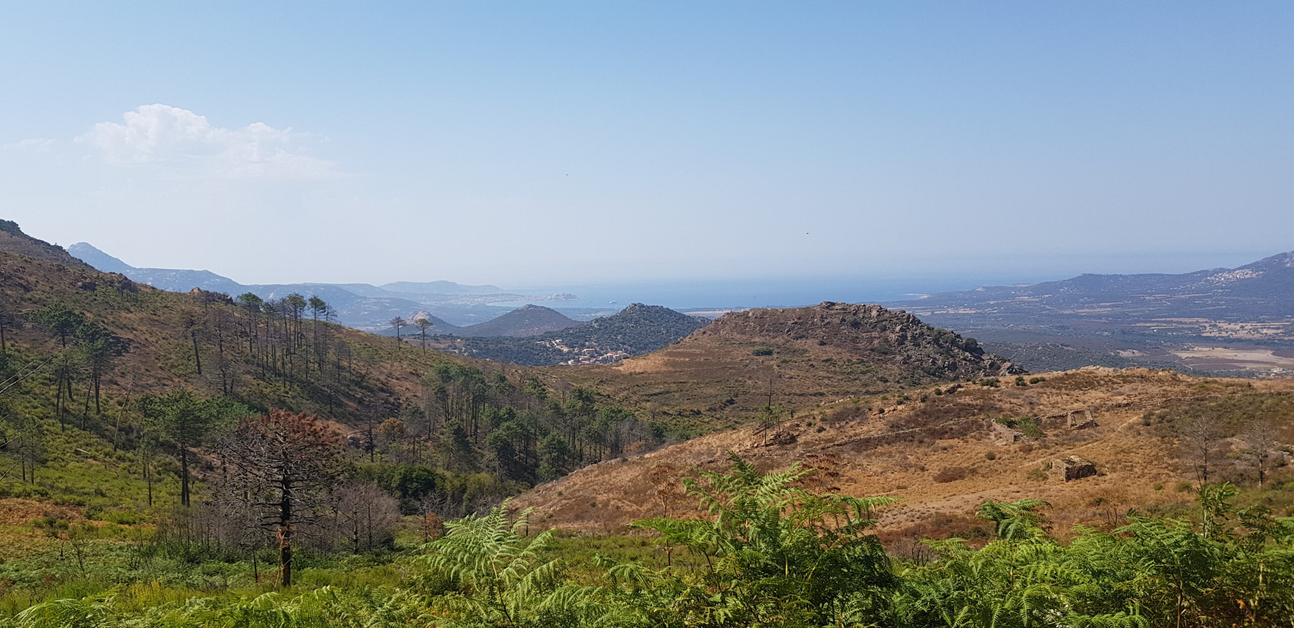
Day 1 : STAGE 1 of the GR20 / From Calenzana to Ortu
The first stage of the GR20 will whet our appetites, it is relatively tough, due to its elevation and the few visible landmarks. There is little water on this stage, so it will be necessary especially in summer.
| # | GR20 NORTH |
| Level of difficulty | 5/5 |
| Distance traveled | 6,84 miles |
| Cumulative elevation gain | +1410 m |
| Cumulative negative elevation | -133 m |
| Nature | 5/5 |
| Culture | 1/5 |
| Meeting | 5/5 |
| Comfort | Tent |
| Walking time | 6h30 |
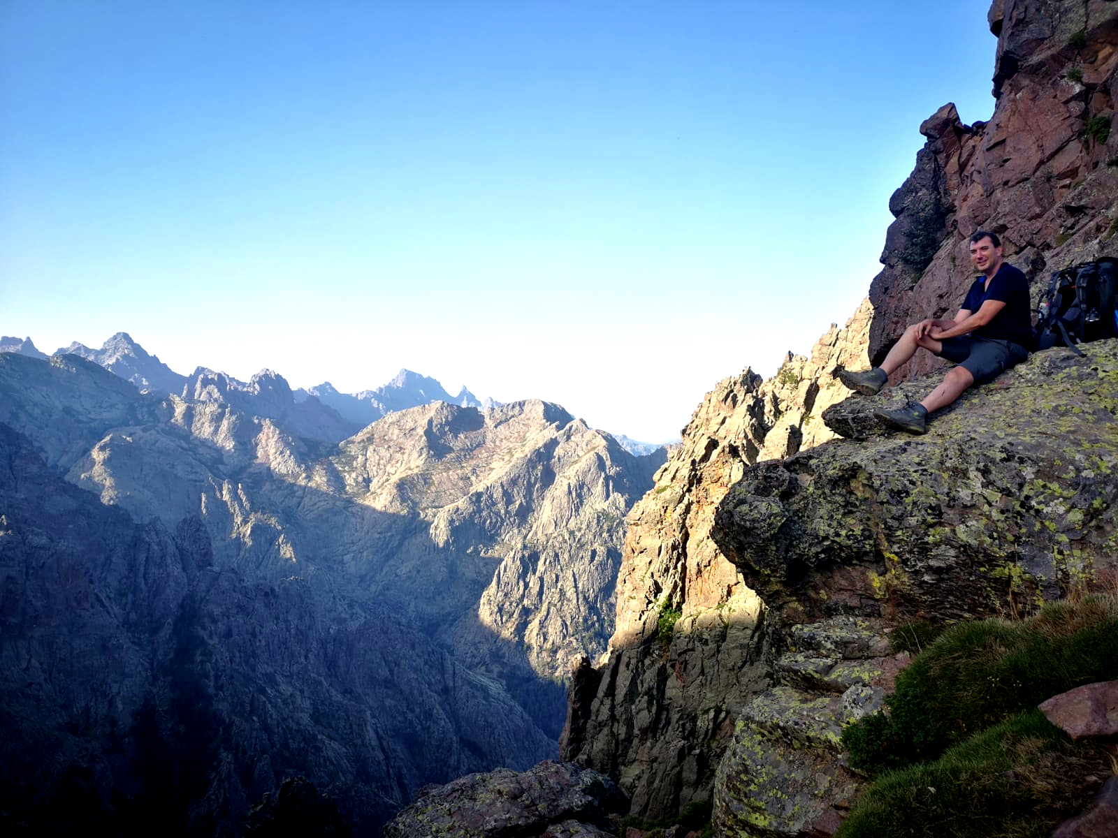
Day 2 : STAGE 2 of the GR20 / From Ortu to Carozzu
Second stage of the GR 20 with technical passages but also incredible viewpoints! You will arrive at the Carozzu refuge, with its panoramic terrace! the second stage is short in terms of kilometers but it is one of the 4 most difficult with the first, the third and the seventh. Don’t underestimate this step.
| # | GR20 NORTH |
| Level of difficulty | 5/5 |
| Distance traveled | 4,35 miles |
| Cumulative elevation gain | +721 m |
| Cumulative negative elevation | -998 m |
| Nature | 5/5 |
| Culture | 1/5 |
| Meeting | 5/5 |
| Comfort | Tent |
| Walking time | 7h00 |
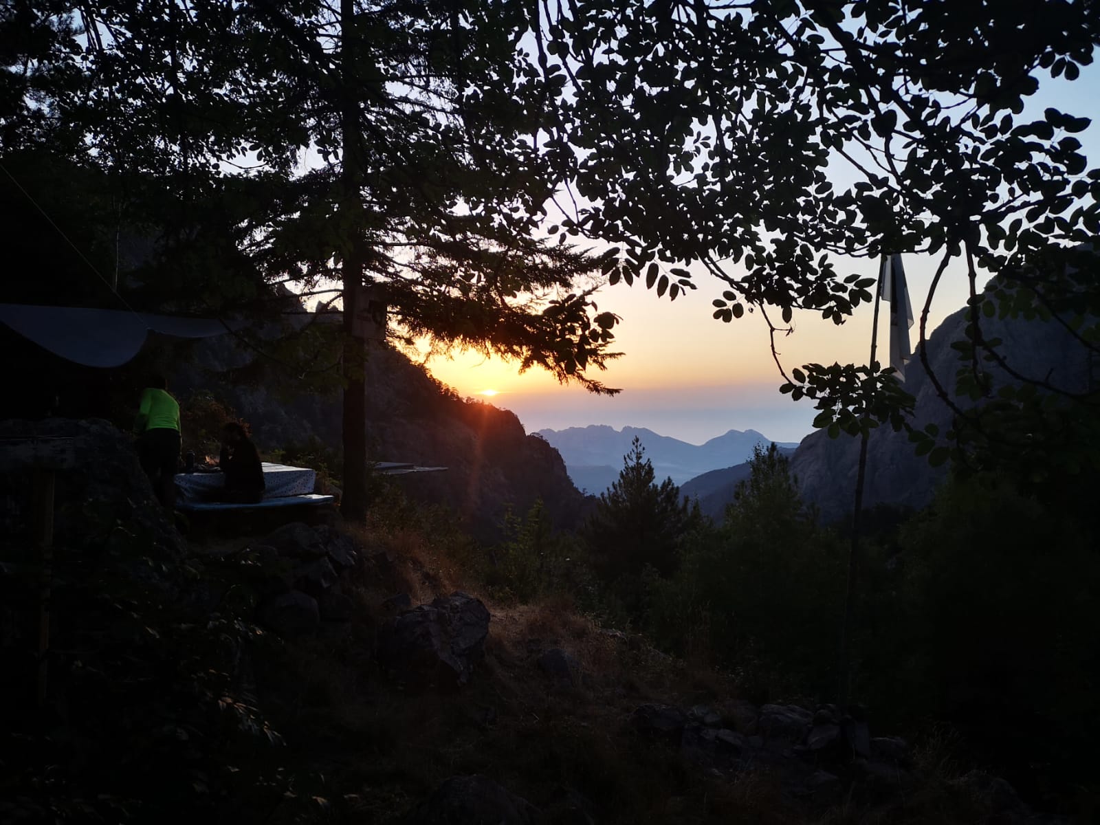
Day 3 : STAGE 3 of the GR20 / From Carozzu to Asco Stagnu
Third stage of the GR20 to Ascu Stagnu, known in winter for its ski resort. You will cross one of the rare GR20 roads. Here you can choose the tent or the hotel. If there are places left, we recommend the hotel to recover from the first three stages.
| # | GR20 NORTH |
| Level of difficulty | 5/5 |
| Distance traveled | 3,03 miles |
| Cumulative elevation gain | +824 m |
| Cumulative negative elevation | -666 m |
| Nature | 5/5 |
| Culture | 1/5 |
| Meeting | 5/5 |
| Comfort | Tent |
| Walking time | 6h00 |
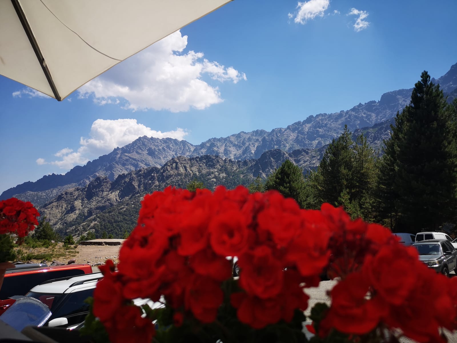
Day 4 : STAGE 4 of the GR20 / From Asco Stagnu to Tighettu
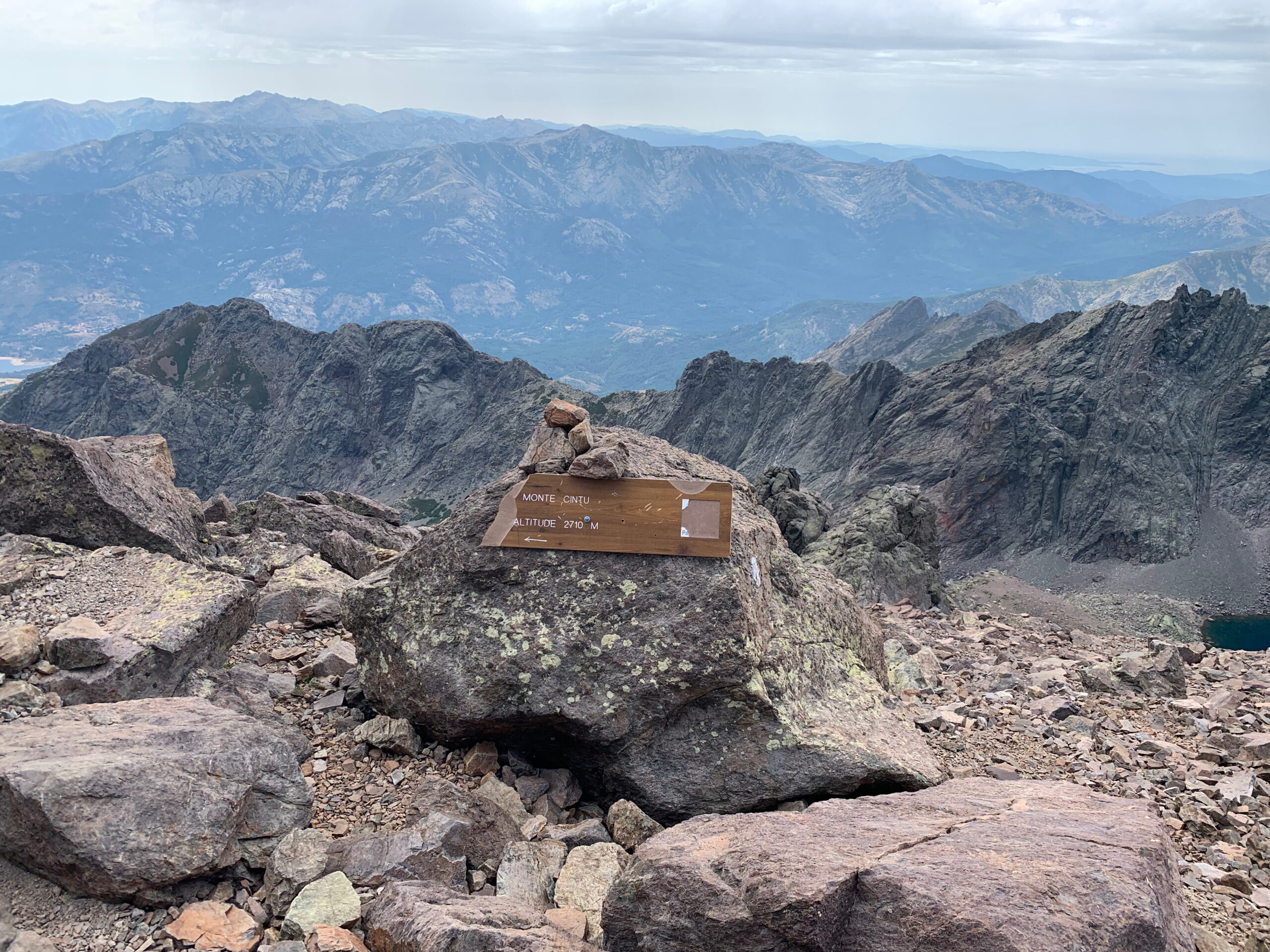
C’est l’ancienne étape au départ de asco qui passait par le cirque de la solitude, et qui est aujourd’hui déviée par le Monte Cinto. Tout aussi belle, elle vous fera passer plus haut avant de vous permettre d’arriver tout en bas, au refuge de Tighjettu. Anticipez l’étape en terme de dénivelé positif ! Nous continuerons jusqu’à l’auberge suivante afin de gagner quelques kilomètres sur la double étape du lendemain qui est très longue.
| # | GR20 NORTH |
| Level of difficulty | 5/5 |
| Distance traveled | 5,60 miles |
| Cumulative elevation gain | +1237 m |
| Cumulative negative elevation | -1220 m |
| Nature | 5/5 |
| Culture | 1/5 |
| Meeting | 5/5 |
| Comfort | Tent |
| Walking time | 8h00 |
Day 5 : CAUTION DOUBLE STAGE
STAGE 5 of the GR20 / From Tighettu to Ciottulu di i Mori
This stage is the shortest, and is less strenuous. It will allow us to enjoy an incredible view in the Refuge de Ciottulu but also to take advantage of it to move on to the next stage which is long but much more rolling !
STAGE 6 of the GR20 / From Tighettu to Ciottulu di i Mori to Manganu
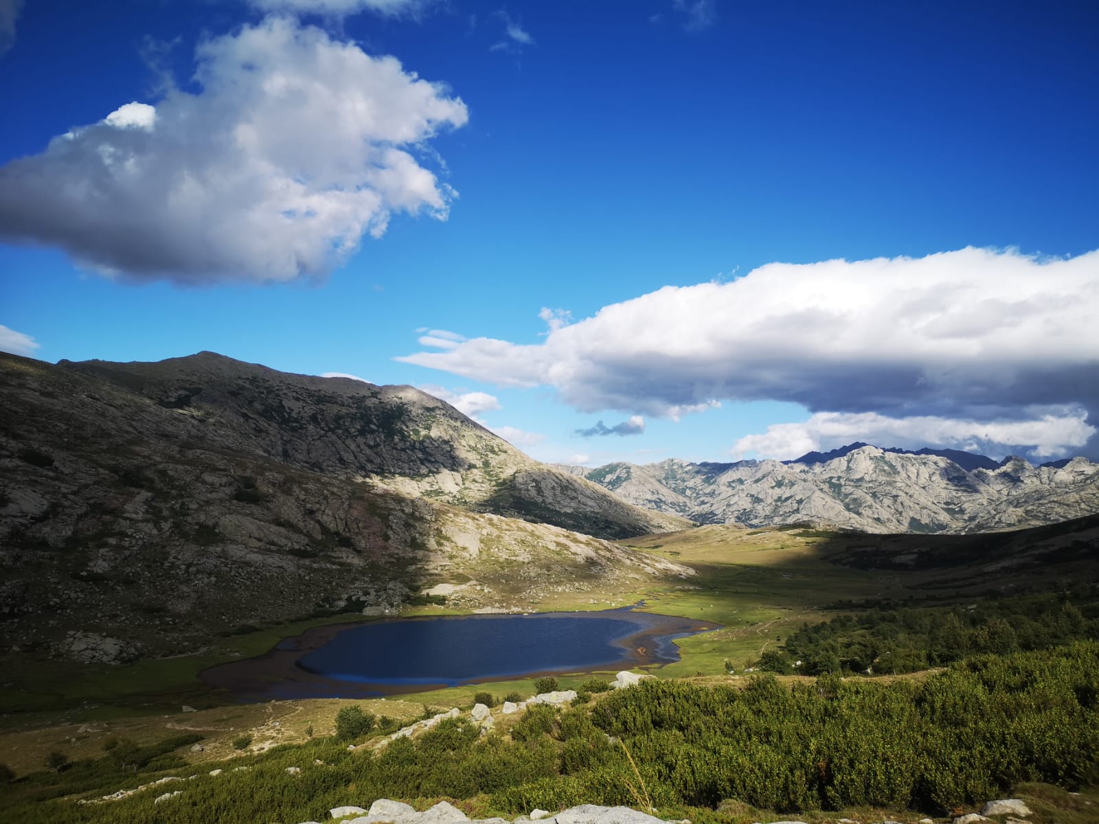
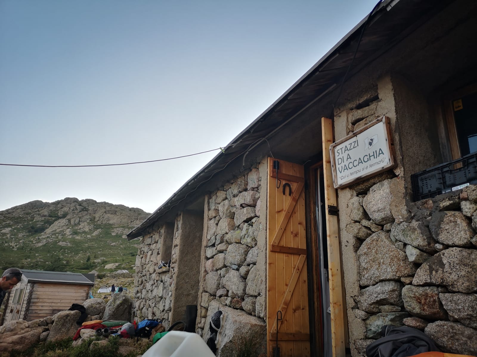
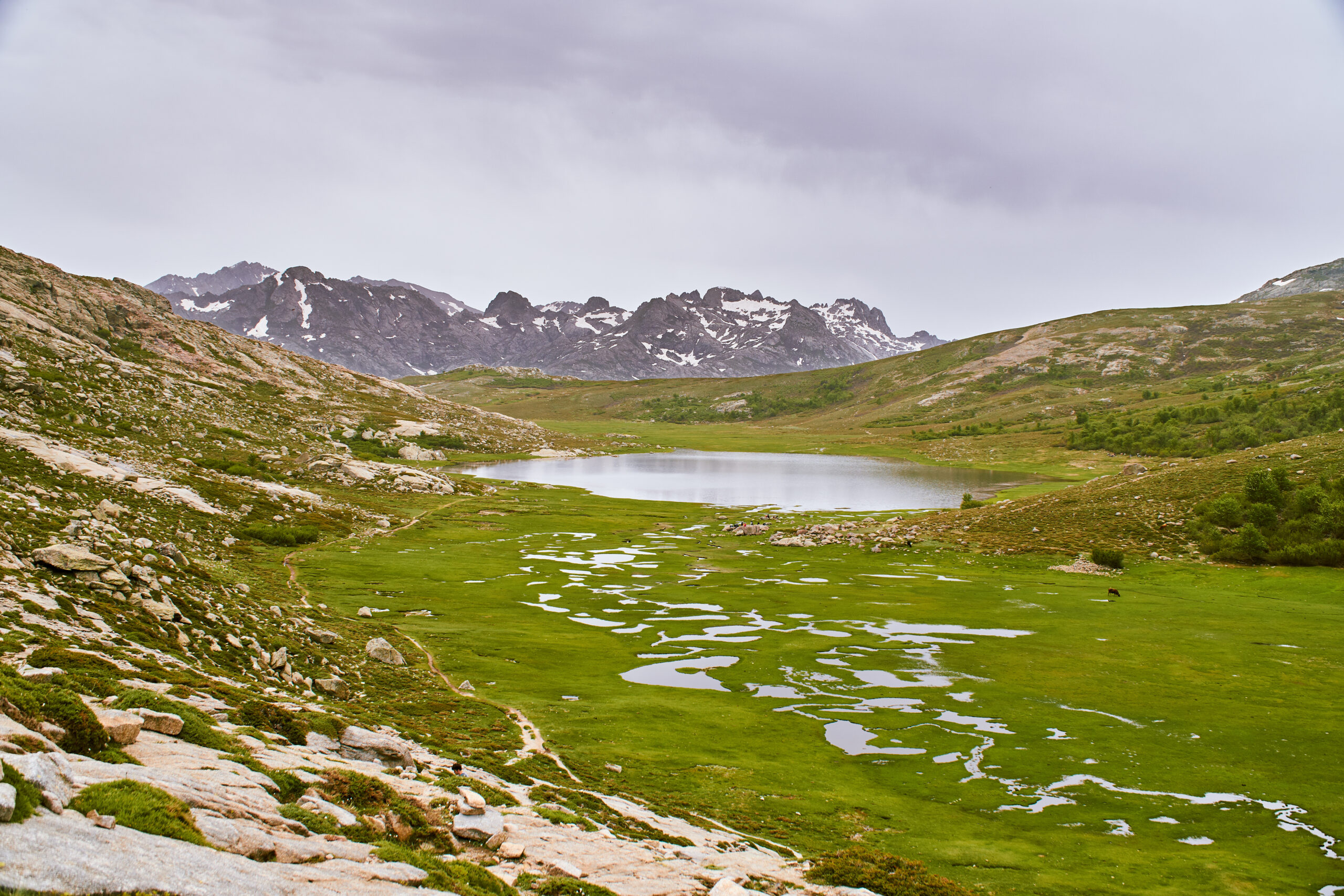
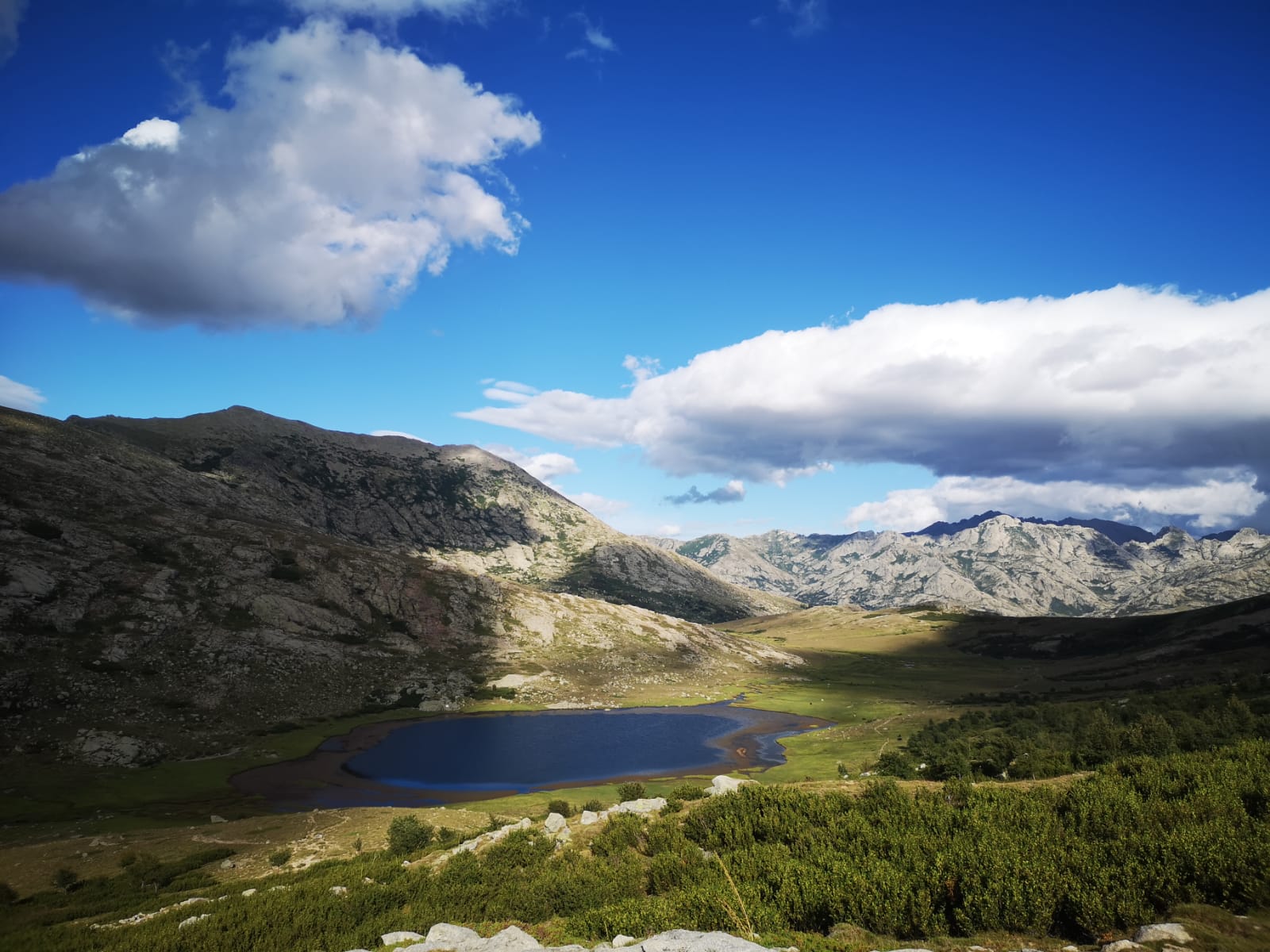
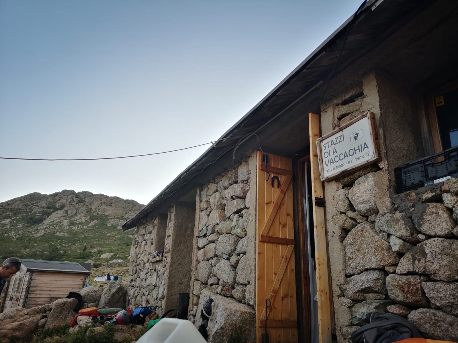
The 6th stage is, on the contrary, the longest of the GR20 in terms of distance: a section of more than 20 kilometers, with a very rolling profile, especially the part between the Col de Vergio and the Lac de Nico ! If we have space, we will stop at the Vaccaghja sheepfold, in order to shorten the total route, otherwise we will have to push a little further to the Manganu refuge.
| # | GR20 NORTH |
| Level of difficulty | 5/5 |
| Distance traveled | 16,15 miles |
| Cumulative elevation gain | +1412 m |
| Cumulative negative elevation | -1267 m |
| Nature | 5/5 |
| Culture | 1/5 |
| Meeting | 5/5 |
| Comfort | Tent |
| Walking time | 12h00 |
Day 6 : STAGE 7 of the GR20 / From Manganu to Petra Piana
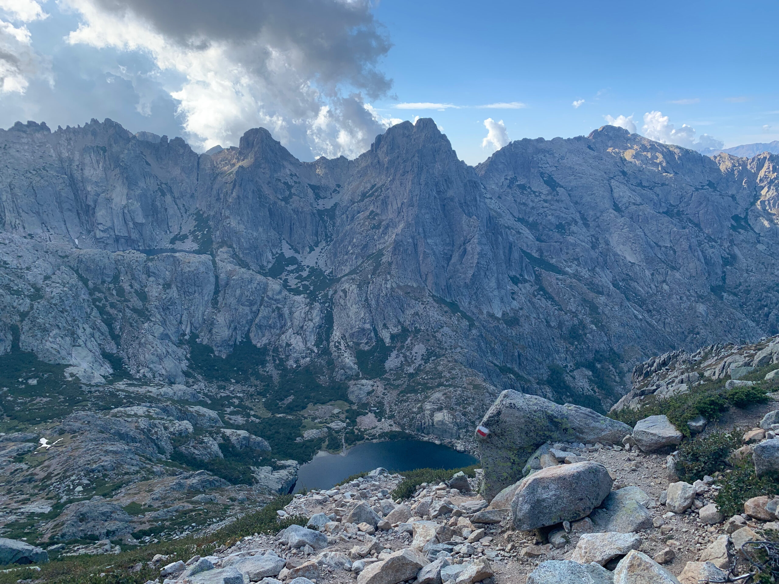
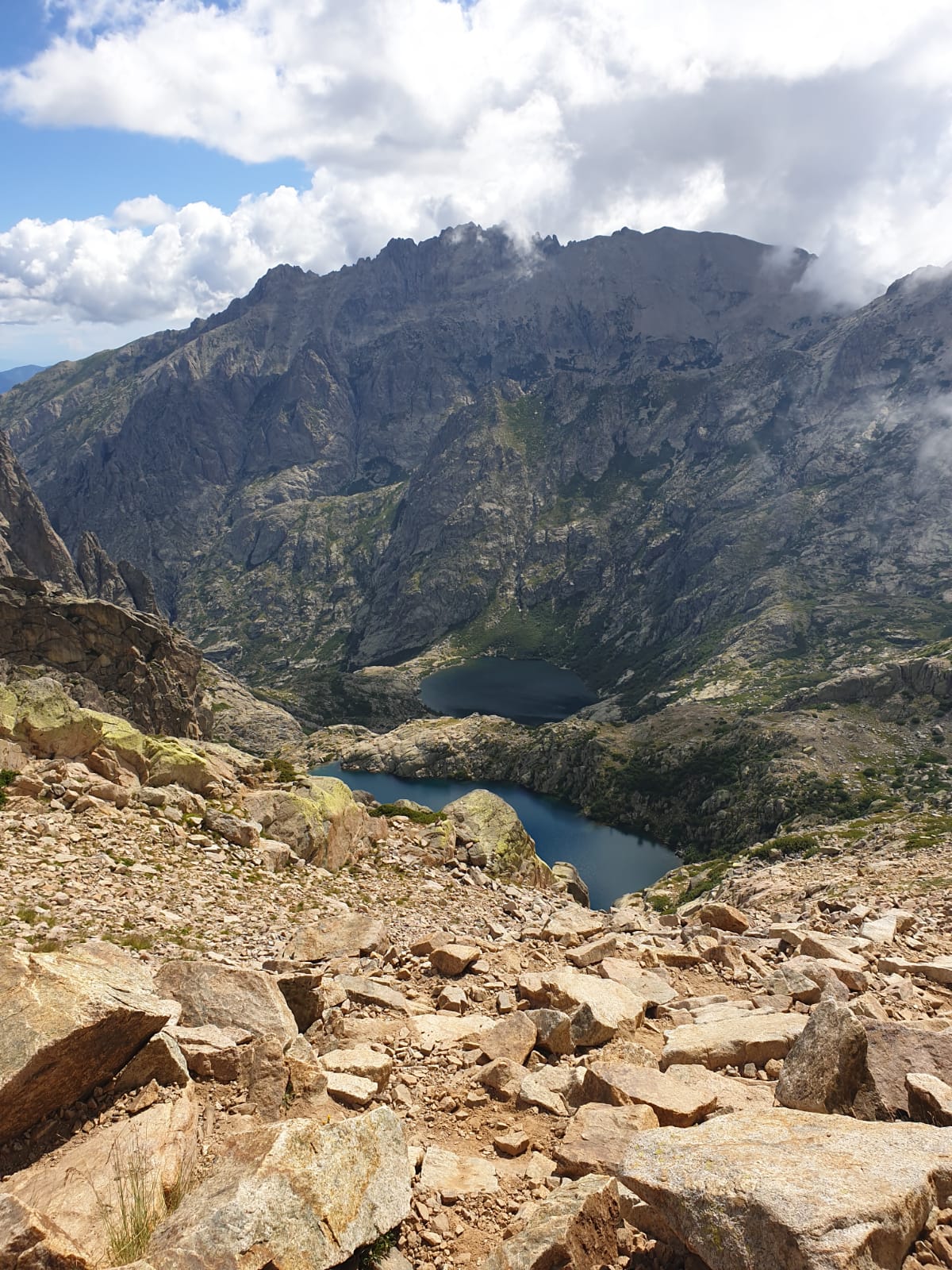
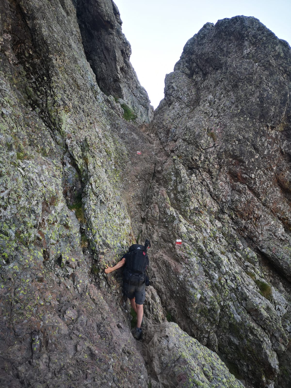
This stage is one of the most technical and it begins very steeply in elevation gain, with an ascent to the Brêche de Capitellu, but also an incredible view of the two high mountain lakes! You will see Petra Piana in the distance, on the mountainside. This stage includes a passage where you have to abseil down a metal chain.
| # | GR20 NORTH |
| Level of difficulty | 5/5 |
| Distance traveled | 6,22 miles |
| Cumulative elevation gain | +895 m |
| Cumulative negative elevation | -641 m |
| Nature | 5/5 |
| Culture | 1/5 |
| Meeting | 5/5 |
| Comfort | Tent |
| Walking time | 6h30 |
Day 7 : CAUTION DOUBLE STAGE
STAGE 8 of the GR20 / From Petra Piana to Onda
There are two options to reach the Onda refuge: by the rather rolling and easy traditional GR20, or by a variant via the ridges, very technical and much less rolling. We will study the question on site but recommend the traditional GR20 for a question of time and fatigue. However, the variant allows you to contemplate magnificent landscapes and the sea in the distance.
STAGE 9 of the GR20 / From Onda to Vizzavone
This is one of the two longest descents of the whole Gr20, you will think you will never end it but when the first signs of civilizations appear, you will want to speed up the pace in order to find civilization or not… here too you You will have the choice between hotel and campsite depending on the places available.
| # | GR20 NORTH |
| Level of difficulty | 5/5 |
| Distance traveled | 12,27 miles |
| Cumulative elevation gain | +1221 m |
| Cumulative negative elevation | -2158 m |
| Nature | 5/5 |
| Culture | 1/5 |
| Meeting | 5/5 |
| Comfort | Tent |
| Walking time | 10h50 |
Day 8 : STAGE 10 of the GR20 : From Vizzavone to Capanelle
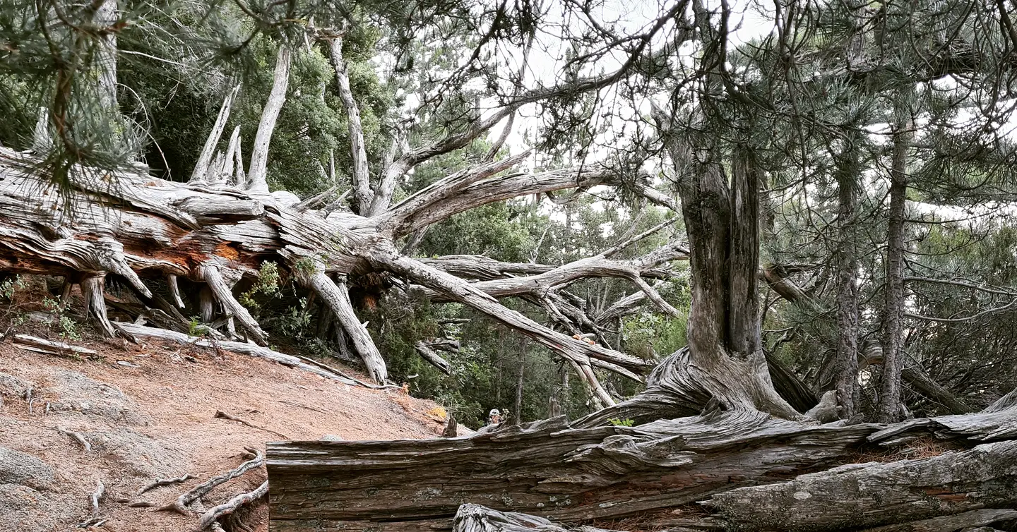
For participants coming from the North, you will officially pass on the GR20 South: the stage to Capanelle is relatively long, but although the difference in altitude is significant, it is both rolling and pleasant under the trees, so relaxing for those who come from the North and a good introduction to the subject for those who come from the South !
| # | GR20 NORTH |
| Level of difficulty | 3/5 |
| Distance traveled | 8,67 miles |
| Cumulative elevation gain | +1074 m |
| Cumulative negative elevation | -376 m |
| Nature | 5/5 |
| Culture | 1/5 |
| Meeting | 5/5 |
| Comfort | Tent |
| Walking time | 5h15 |
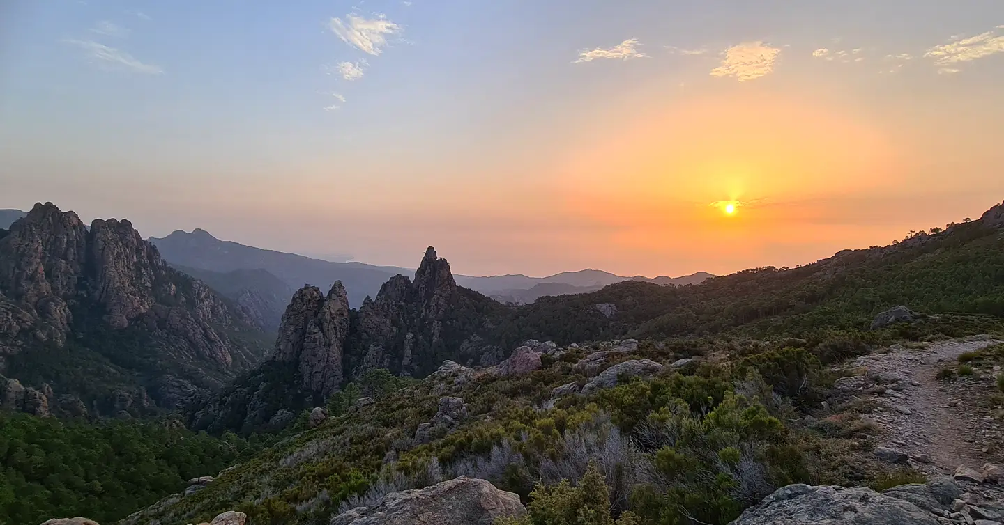
Day 9 : STAGE 11 of the GR20 / From Capanelle to Prati
The second stage does not represent an extreme challenge for those accustomed to hiking either, you can start to take your time to really observe the surroundings.
| # | GR20 NORTH |
| Level of difficulty | 3/5 |
| Distance traveled | 10,93 miles |
| Cumulative elevation gain | +1053 m |
| Cumulative negative elevation | -847 m |
| Nature | 5/5 |
| Culture | 1/5 |
| Meeting | 5/5 |
| Comfort | Tent |
| Walking time | 6h00 |
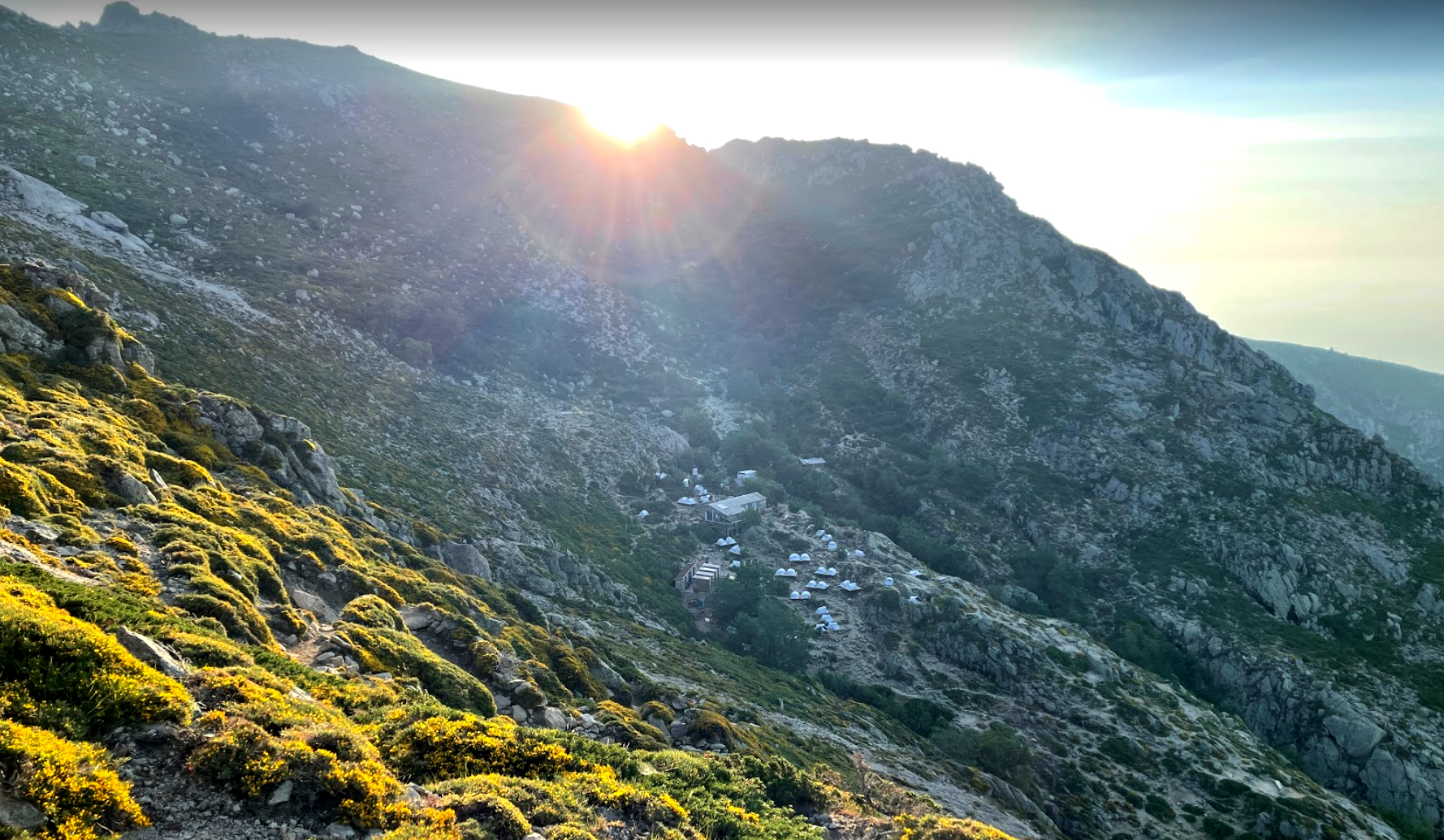
Day 10 : STAGE 12 of the GR20 / From Prati to Usciolu
A little return to the condition of the North, with a few technical passages that will give Southerners an idea of what Northerners have experienced, what to laugh about and discuss in the evening at the Refuge. This high mountain stage will offer you beautiful passages at 2000 meters up to Usciolu.
| # | GR20 SOUTH |
| Level of difficulty | 3/5 |
| Distance traveled | 6,70 miles |
| Cumulative elevation gain | +779 m |
| Cumulative negative elevation | -788 m |
| Nature | 5/5 |
| Culture | 1/5 |
| Meeting | 5/5 |
| Comfort | Tent |
| Walking time | 5h45 |
Day 11 : CAUTION DOUBLE STAGE
STAGE 13 of the GR20 / From Usciolu to Matalza
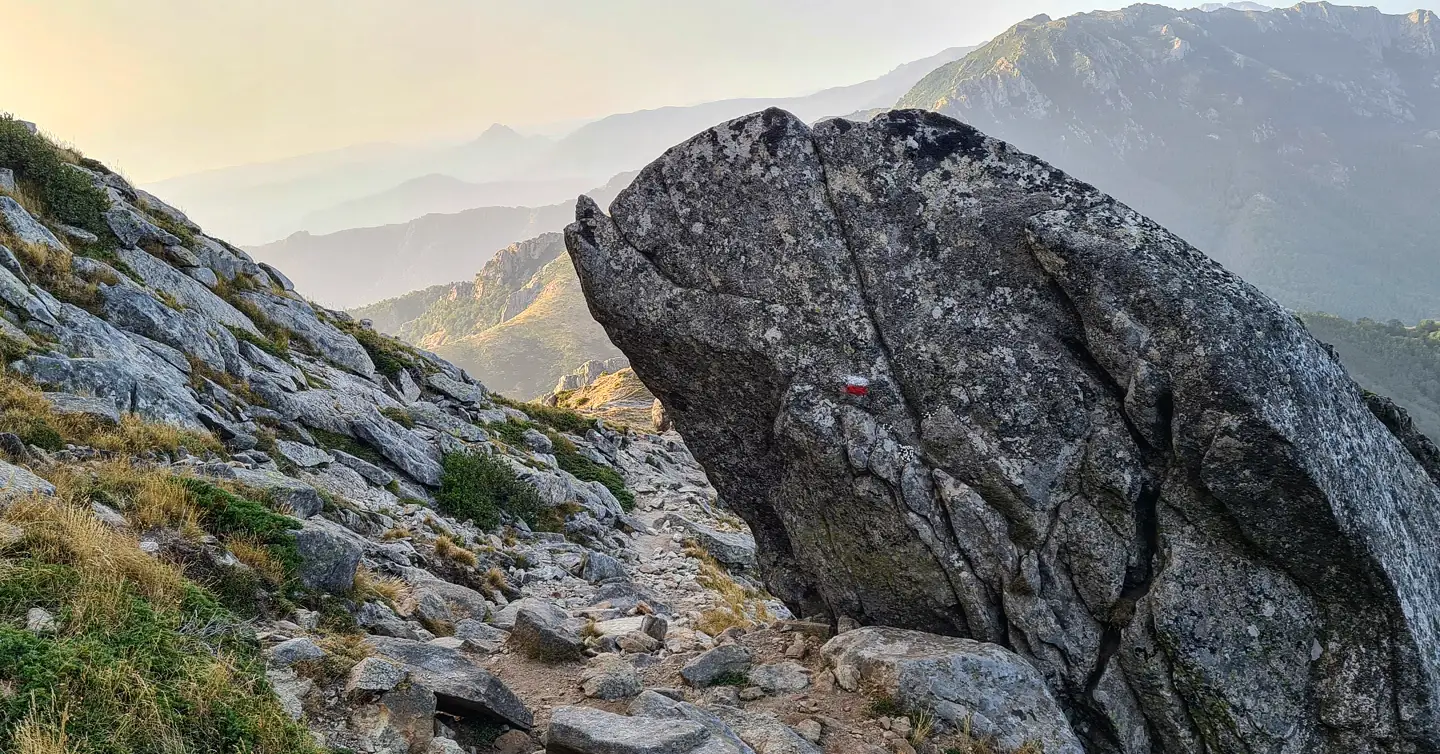
Long considered “the new stage of the GR20”, this is a section that will take you out of the mountains to visit the Cusciunu plateau and reach Matalza (or the nearby sheepfolds). Without much difficulty and rather relaxing.
STAGE 14 of the GR20 / From Matalza to Asinau
10 km to reach the Asinau refuge. In crest almost all along, rather rolling with some technical passages. Pretty quick step.
This step corresponds to two old steps combined into one. a variant is possible through the valley. The landscapes are flatter at the beginning and therefore more relaxing and rolling through ferns and varied forests, quite monotonous at the end of the course with a steep ascent before the descent to the fairly difficult refuge. The variant remains a pleasant stage but just as honorable. (depending on the majority decision of the group, we will follow one or the other variant).
| # | GR20 SOUTH |
| Level of difficulty | 3/5 |
| Distance traveled | 12,86 miles |
| Cumulative elevation gain | +953 m |
| Cumulative negative elevation | -1214 m |
| Nature | 5/5 |
| Culture | 1/5 |
| Meeting | 5/5 |
| Comfort | Tent |
| Walking time | 8h30 |
Day 12 : STAGE 15 of the GR20 / From Asinau to I Paliri
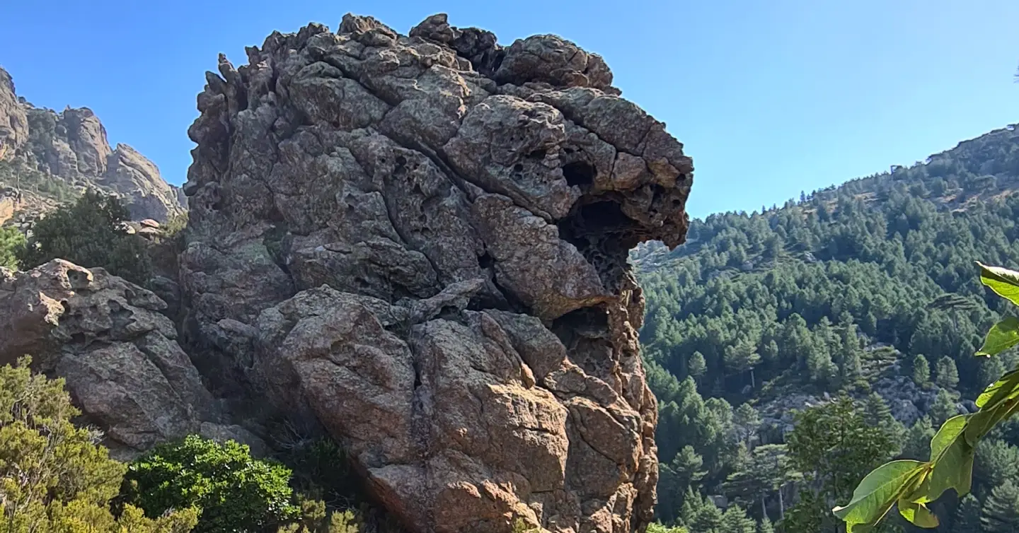
The small track of the GR20 will take you to the mountains of Bavella, with a passage to the pass of the same name but two options to get there: the classic GR or the alpine variant of Bavella, sublime! Possibility to eat at the Bavella pass before resuming the walk to I Paliri.
The Bavella variant is as technical as the North stages but magnificent. The classic GR although longer does not take much longer, it crosses the forest and allows you to bypass the needles, you are covered almost all the way. (depending on the majority decision of the group, we will follow one or the other variant).
I Paliri is a very lively refuge, it’s the last one, and we often party there. This will be an opportunity to celebrate your long journey with all the people you have met during this journey. However, do not spend the night there or you will have trouble for the last stage…
| # | GR20 SOUTH |
| Level of difficulty | 3/5 |
| Distance traveled | 9,32 miles |
| Cumulative elevation gain | +612 m |
| Cumulative negative elevation | -1101 m |
| Nature | 5/5 |
| Culture | 1/5 |
| Meeting | 5/5 |
| Comfort | Tent |
| Walking time | 7h00 |
Day 13 : STAGE 16 of the GR20 / From I Paliri to Conca
Last stage of the GR20, there is still a long way to go and bumps in the descent: the profile is downhill, quite easy after what you have endured, and your body will have taken all the stamina it will take to complete the route brilliantly, while remaining vigilant of course.
| # | GR20 SOUTH |
| Level of difficulty | 3/5 |
| Distance traveled | 7,45 miles |
| Cumulative elevation gain | +378 m |
| Cumulative negative elevation | -1181 m |
| Nature | 5/5 |
| Culture | 1/5 |
| Meeting | 5/5 |
| Comfort | Tent |
| Walking time | 5h00 |
Included
- 2 French-speaking, English-speaking, Russian-speaking IDTrek guides
- Pick up from Calenzana and dispersal from Conca.
- A collective first aid kit
Not Included
- Accommodation in Bastia or Ajaccio or Conca before/after the trek
- Accommodation in a refuge or hotel (we can book for you)
- Meals, drinks and other personal expenses
- Breakfasts, lunches and dinners can be ordered according to our freeze-dried meal program
- Guides tips
- Personal expenses
- Personal care items
- Services not mentioned above
- Plane tickets for Corsica, (For a departure from the North, we recommend Paris-Bastia, For a departure from the South or a return from Vizzavone: Paris - Ajaccio / Ajaccio / Paris, and for a return from Conca : Figari-Paris for non-French residents - aircosrica or easyjet)
Terms and conditions
Please make sure you have read the terms and conditions of sale by clicking here. In particular, they define cancellation conditions, payment methods, visa requirements and insurance.
Take out IDTrek travel insurance with our partner by clicking here.
Applications for participation are accepted until 27/05. The minimum quantity to confirm the group is 4 people, maximum – 15 people.
Unlike an agency, you will save between 200 and 300€ through our service (all included, you must have between 700 and 900 euros on site), while providing you with a guide.
Precautions to take before a trip on the GR20 :
During a trip to Corsica and especially on the GR, one is necessarily confronted with high altitudes. And even if IDTrek designs its trips, with an ascent in altitude as gradually as possible, at some point you will necessarily have to take the plunge.
Precautions : before embarking on a trip to Corsica, it is advisable to consult your doctor to prevent mountain sickness. Especially if you are being treated for heart or blood pressure problems. Your treatments might be a little different before and during the trip.
For people going to hike in the mountains (trekking) over several days, it is recommended to check with a mountain medicine center before your trip.
Mountain sickness…
- has nothing to do with your age
- nor with your physical condition
- just because you didn’t get it on a first trip to altitude doesn’t mean you’ll never get it
- your state of stress and fatigue, all this added to jet lag are major factors
Take the time to do things calmly.
- Duration
13 days - Period
July-September - Type
Nature - Landscape
Desert,Mountain - Difficulty
Hard - Group
4 - 15 people
per person
Request more information
- Duration
13 days - Type
Nature - Difficulty
Hard
- Periode
July-September - Landscape
Desert,Mountain - Group
4 - 15 people
per person

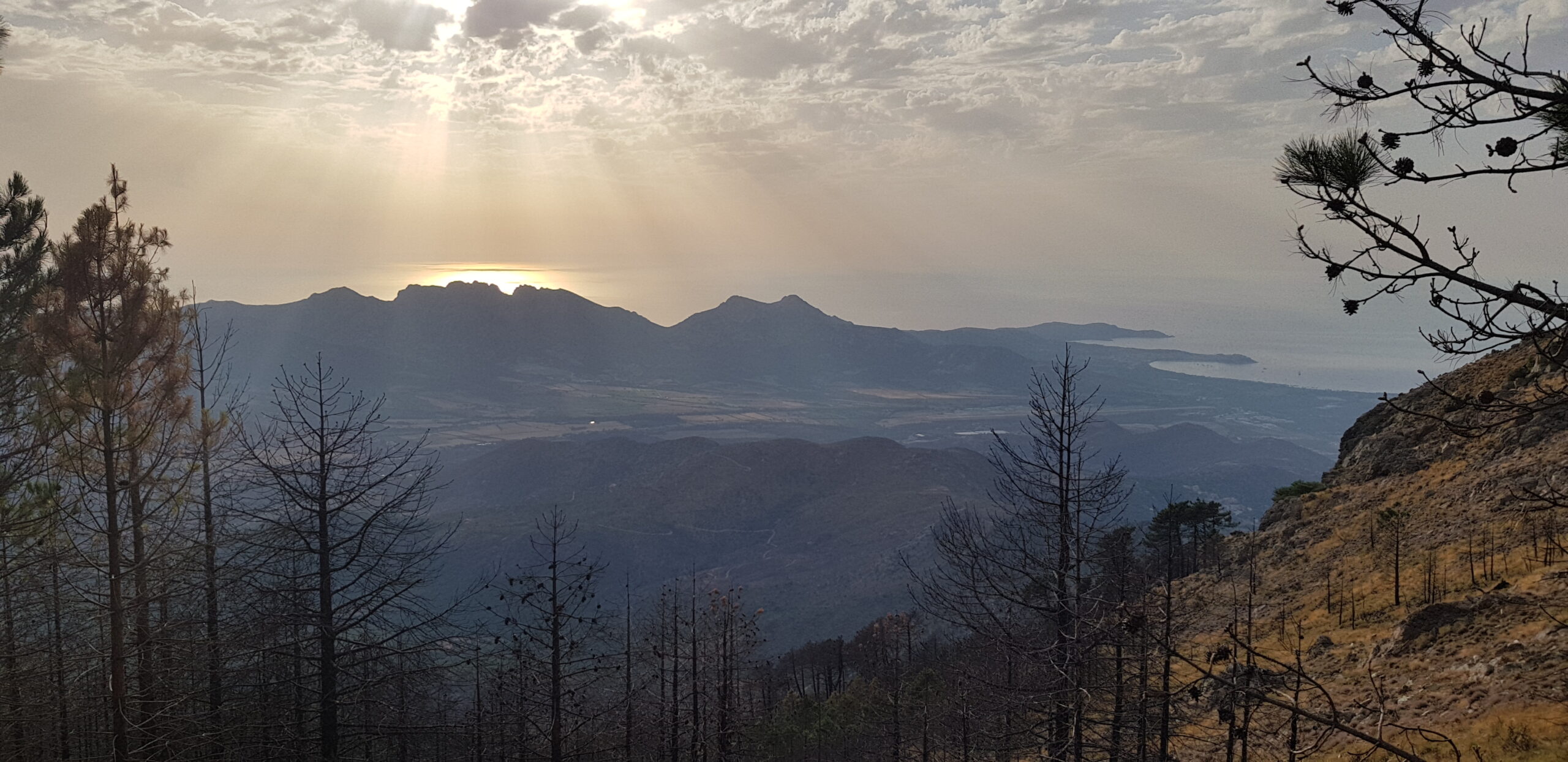
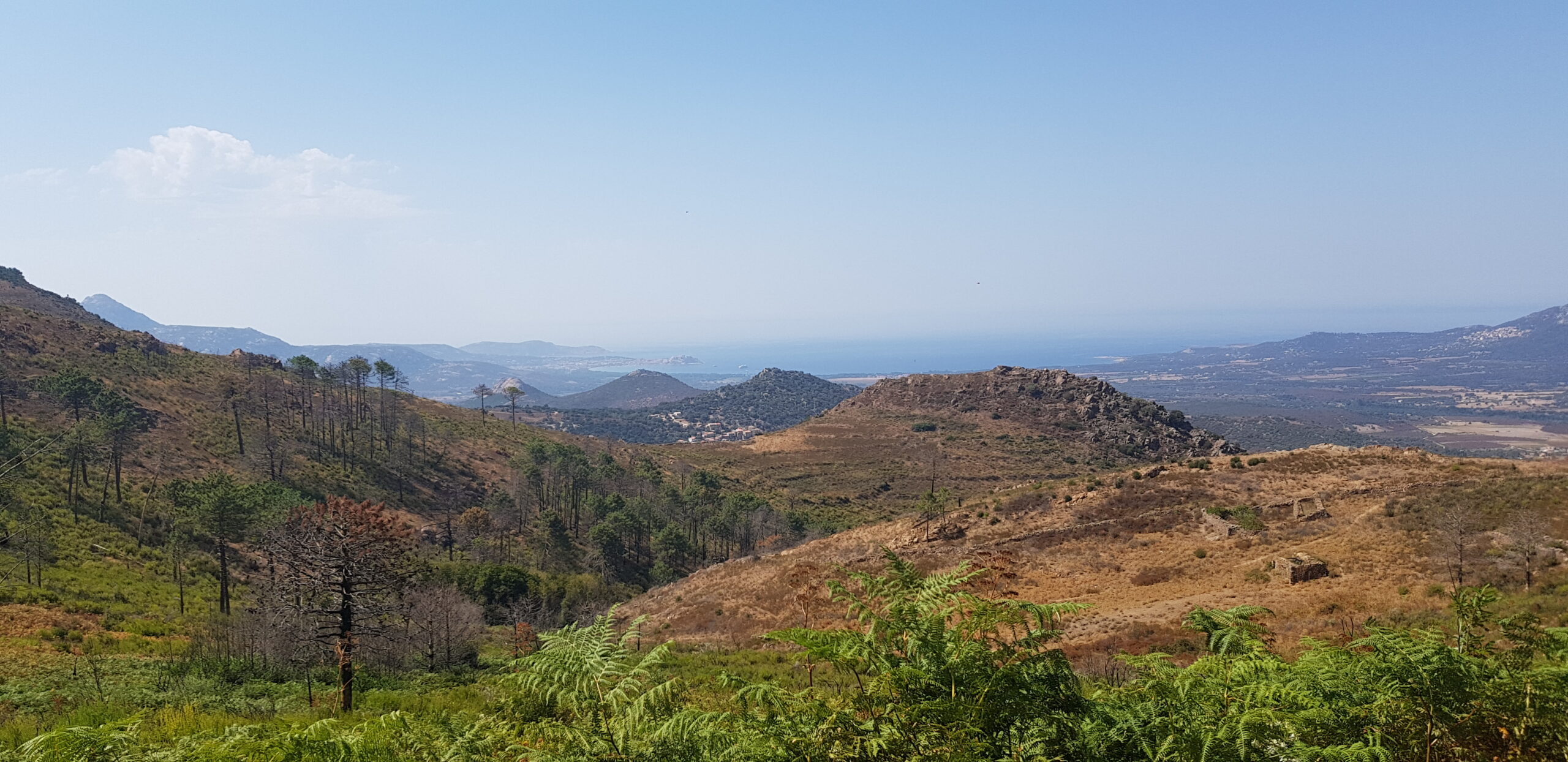
Incroybale, trés dur, mais magnifique, l’un de mes rêves enfin fait !